
ArcticDEM, Version 3
收藏DataCite Commons2025-04-05 更新2025-04-15 收录
下载链接:
https://dataverse.harvard.edu/citation?persistentId=doi:10.7910/DVN/OHHUKH
下载链接
链接失效反馈官方服务:
资源简介:
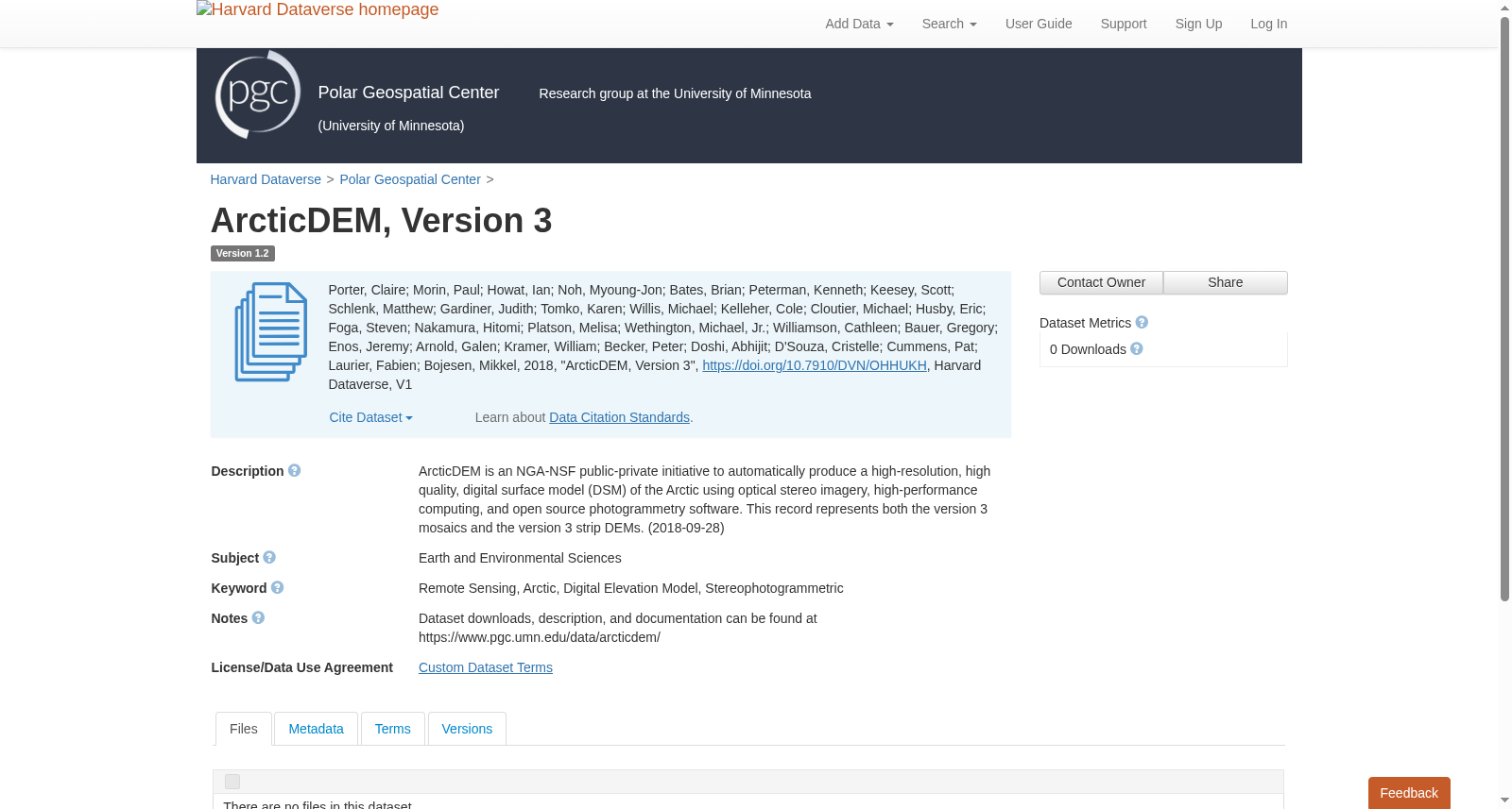
ArcticDEM is an NGA-NSF public-private initiative to automatically produce a high-resolution, high quality, digital surface model (DSM) of the Arctic using optical stereo imagery, high-performance computing, and open source photogrammetry software. This record represents both the version 3 mosaics and the version 3 strip DEMs.
北极DEM (ArcticDEM) 是NGA-NSF发起的公私合作项目,旨在借助立体光学影像、高性能计算及开源摄影测量软件,自动生成北极区域的高分辨率、高质量数字地表模型(DSM)。本数据记录同时涵盖第3版镶嵌数据集与第3版条带DEM。
提供机构:
Harvard Dataverse创建时间:
2018-09-26
搜集汇总
数据集介绍
背景与挑战
背景概述
ArcticDEM, Version 3是一个由NGA和NSF合作的项目,旨在利用光学立体影像、高性能计算和开源软件自动生成高分辨率、高质量的北极数字表面模型(DSM)。该版本包括镶嵌图和条带DEM两种数据产品,专注于北极地区的地形测绘。
以上内容由遇见数据集搜集并总结生成


