全球0.05°日尺度地表蒸散发数据集(1982-2018)
收藏国家青藏高原科学数据中心2025-03-27 更新2025-04-05 收录
下载链接:
https://data.tpdc.ac.cn/zh-hans/data/0f13ab17-ebd5-42dd-b5cc-675a72dd2b5d
下载链接
链接失效反馈官方服务:
资源简介:
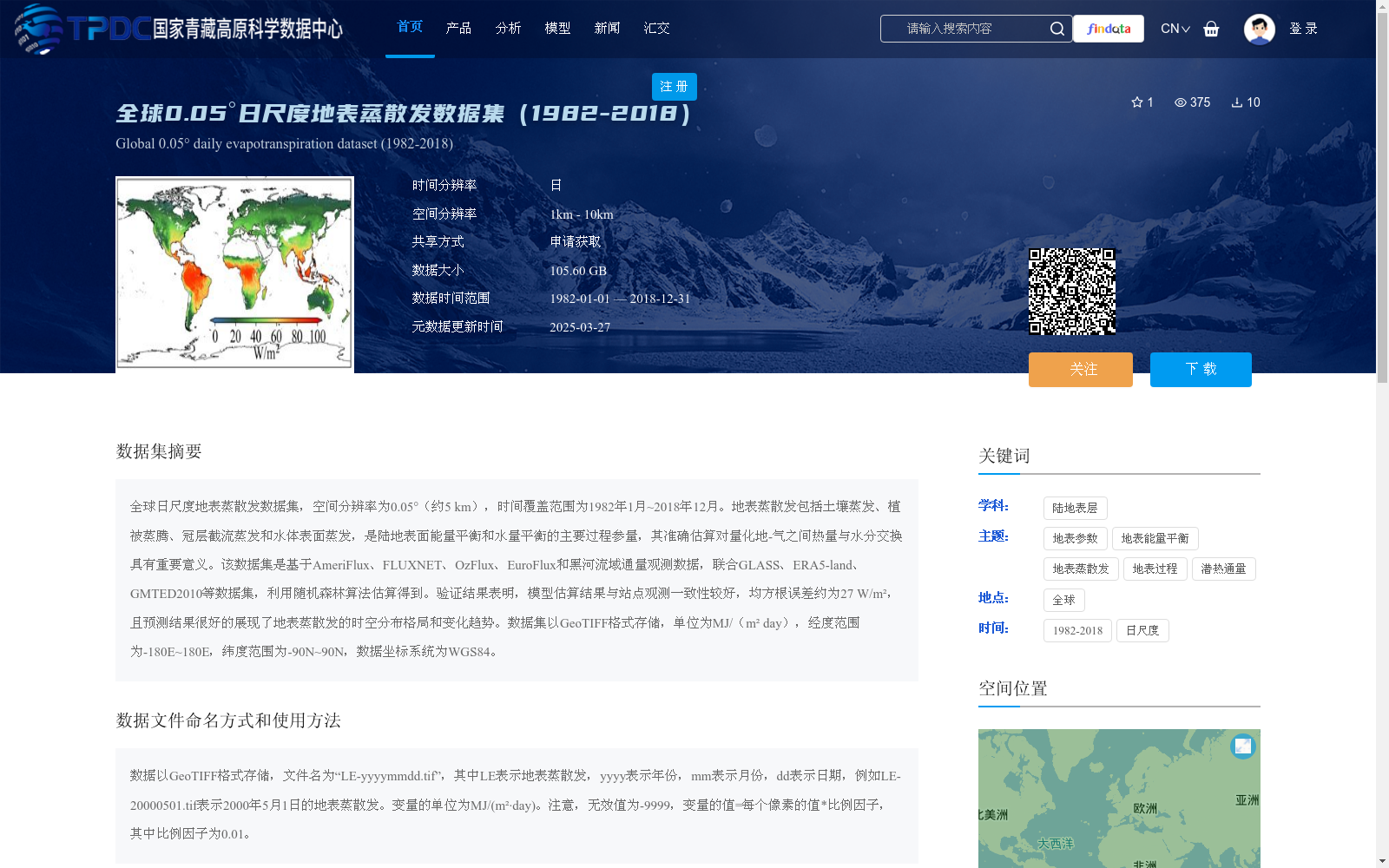
全球日尺度地表蒸散发数据集,空间分辨率为0.05°(约5 km),时间覆盖范围为1982年1月~2018年12月。地表蒸散发包括土壤蒸发、植被蒸腾、冠层截流蒸发和水体表面蒸发,是陆地表面能量平衡和水量平衡的主要过程参量,其准确估算对量化地-气之间热量与水分交换具有重要意义。该数据集是基于AmeriFlux、FLUXNET、OzFlux、EuroFlux和黑河流域通量观测数据,联合GLASS、ERA5-land、GMTED2010等数据集,利用随机森林算法估算得到。验证结果表明,模型估算结果与站点观测一致性较好,均方根误差约为27 W/m²,且预测结果很好的展现了地表蒸散发的时空分布格局和变化趋势。数据集以GeoTIFF格式存储,单位为MJ/(m² day),经度范围为-180E~180E,纬度范围为-90N~90N,数据坐标系统为WGS84。
A global daily-scale land surface evapotranspiration (ET) dataset is presented herein, with a spatial resolution of 0.05° (approximately 5 km) and a temporal coverage from January 1982 to December 2018. Land surface evapotranspiration encompasses soil evaporation, vegetation transpiration, canopy interception evaporation and open water surface evaporation, and acts as a key process parameter for both terrestrial surface energy balance and water balance. Accurate estimation of ET is of great significance for quantifying land-atmosphere heat and water exchange. This dataset was developed using the random forest algorithm, based on flux observation data from AmeriFlux, FLUXNET, OzFlux, EuroFlux and the Heihe River Basin, combined with auxiliary datasets including GLASS, ERA5-land and GMTED2010. Validation results show that the model-derived ET values have good consistency with in-situ observations, with a root mean square error (RMSE) of approximately 27 W/m². Furthermore, the predicted results effectively capture the spatiotemporal distribution pattern and long-term changing trends of land surface evapotranspiration. The dataset is stored in GeoTIFF format, with the unit of MJ/(m²·day). Its spatial extent covers longitudes from -180°E to 180°E and latitudes from -90°N to 90°N, using the WGS84 geographic coordinate system.
提供机构:
唐荣林,王君蕊,李召良
创建时间:
2025-03-27
搜集汇总
数据集介绍
背景与挑战
背景概述
该数据集是一个全球范围的日尺度地表蒸散发数据集,空间分辨率约5公里,时间覆盖1982年至2018年,基于多源观测数据和随机森林算法估算,验证结果良好,均方根误差约27 W/m²,适用于研究地表能量和水量平衡。数据以GeoTIFF格式存储,单位为MJ/(m²·day),覆盖全球经纬度范围,数据量105.60 GB。
以上内容由遇见数据集搜集并总结生成


