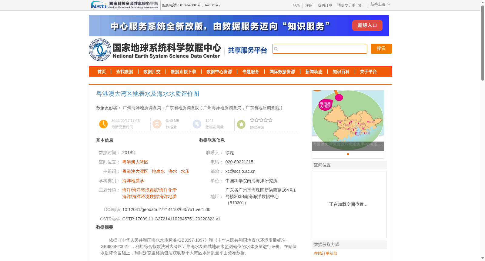
粤港澳大湾区地表水及海水水质评价图
收藏国家地球系统科学数据中心2022-09-27 更新2024-03-04 收录
下载链接:
https://www.geodata.cn/data/datadetails.html?dataguid=272141102645751&docId=7124
下载链接
链接失效反馈官方服务:
资源简介:
依据《中华人民共和国海水水质标准-GB3097-1997》和《中华人民共和国地表水环境质量标准-GB3838-2002》,利用综合指数法对大湾区近岸海水及陆域地表水监测站位的水体质量进行评价。在站位水质评价基础上,利用泛克里格插值法获取整个大湾区水体质量平面分布数据。
Based on the Marine Water Quality Standard of the People's Republic of China - GB3097-1997 and the Environmental Quality Standards for Surface Water of the People's Republic of China - GB3838-2002, the comprehensive index method was adopted to evaluate the water quality of monitoring stations for coastal seawater and terrestrial surface water in the Greater Bay Area. Based on the water quality evaluation results of these monitoring stations, the Universal Kriging interpolation method was employed to obtain the planar distribution data of water quality across the entire Greater Bay Area.
提供机构:
广州海洋地质调查局,广东省地质调查院
创建时间:
2022-08-23
搜集汇总
数据集介绍
背景与挑战
背景概述
该数据集提供了2019年粤港澳大湾区地表水及海水水质的评价结果,基于国家标准和综合指数法进行水质评价,并通过泛克里格插值法生成平面分布数据。数据质量可靠,适用于海洋环境与资源研究。
以上内容由遇见数据集搜集并总结生成


