SARMelt: 环南极冰架高分辨率(40m)2015-2023年时序表面融水数据集
收藏地球大数据科学工程2026-01-07 更新2026-01-10 收录
下载链接:
https://data.casearth.cn/dataset/695dde7797d0b0397735cfe1
下载链接
链接失效反馈官方服务:
资源简介:
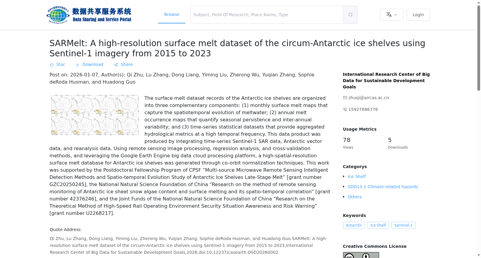
本数据产品的融雪数据主要包括南极冰架月份融化状态图、夏季融化比例图和融化信息统计表,以地理空间格网和数据表格的形式呈现。数据产品的生产综合了时序Sentinel-1 SAR数据、南极矢量和再分析数据,利用遥感图像处理、回归分析、交叉验证等方法,结合Google Earth Engine大数据云处理平台,通过轨道归一化技术,生产了环南极冰架高空间分辨率表面融化数据库。
本研究由中国博士后国家资助博士后研究人员计划“南极冰架晚期融化多源微波遥感智能提取方法与时空演变研究”(编号:GZC20250245),国家自然科学基金面上基金“南极冰盖雪藻含量与表面融化遥感监测方法及时空关联性研究“(编号:42376246)与国家自然科学基金联合基金“高铁运行环境安全态势感知与风险预警理论方法”(编号:U2268217)资助。
The snowmelt data of this data product mainly includes monthly melt status maps of Antarctic ice shelves, summer melt fraction maps, and melt information statistical tables, which are presented in the form of geospatial grids and data tables. This data product is developed by integrating time-series Sentinel-1 SAR data, Antarctic vector data and reanalysis data. Adopting methods such as remote sensing image processing, regression analysis and cross-validation, leveraging the Google Earth Engine big data cloud processing platform, and applying orbit normalization technology, a high-spatial-resolution surface melt database of circum-Antarctic ice shelves was produced. This research was funded by the National Postdoctoral Researcher Program of China (China Postdoctoral Science Foundation Funding) with the project titled "Intelligent Extraction Method of Multi-source Microwave Remote Sensing for Late-stage Melt of Antarctic Ice Shelves and Its Spatiotemporal Evolution" (Grant No. GZC20250245), the General Program of the National Natural Science Foundation of China (NSFC) with the project titled "Remote Sensing Monitoring Method of Snow Algae Content and Surface Melt in Antarctic Ice Sheet and Its Spatiotemporal Correlation" (Grant No. 42376246), and the Joint Fund of the National Natural Science Foundation of China (NSFC) with the project titled "Theoretical Methods for Safety Situation Awareness and Risk Early Warning of High-speed Railway Operation Environment" (Grant No. U2268217).
创建时间:
2026-01-07
搜集汇总
数据集介绍
背景与挑战
背景概述
SARMelt是一个高分辨率(40米)的环南极冰架表面融水数据集,涵盖2015至2023年,包含月度融水地图、年度融水发生地图和时间序列统计数据。数据集通过整合多源遥感数据和利用Google Earth Engine平台生成,支持研究南极冰架融水的时空演变和年际变化。
以上内容由遇见数据集搜集并总结生成


