黑河干流中游地区1:25万DEM图(2005-2007)
收藏国家青藏高原科学数据中心2021-04-24 更新2024-03-06 收录
下载链接:
https://data.tpdc.ac.cn/zh-hans/data/2948184c-4f22-42ce-933d-c73b359e30f6
下载链接
链接失效反馈官方服务:
资源简介:
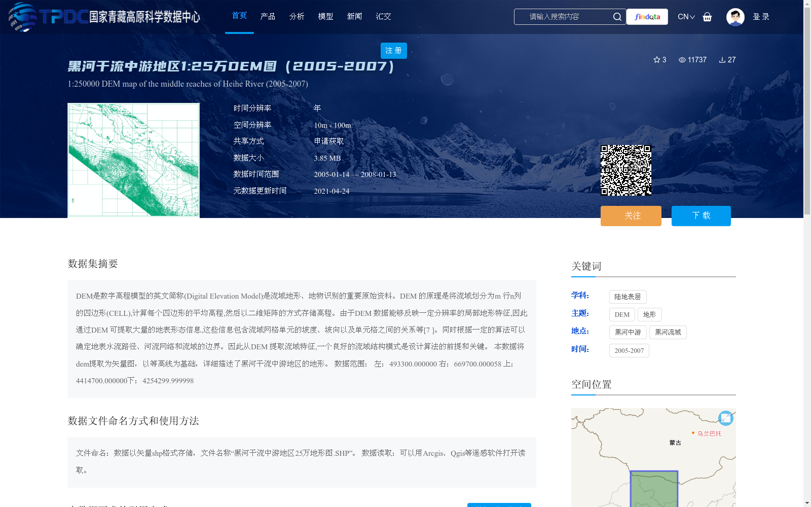
DEM是数字高程模型的英文简称(Digital Elevation Model)是流域地形、地物识别的重要原始资料。DEM 的原理是将流域划分为m 行n列的四边形(CELL),计算每个四边形的平均高程,然后以二维矩阵的方式存储高程。由于DEM 数据能够反映一定分辨率的局部地形特征,因此通过DEM 可提取大量的地表形态信息,这些信息包含流域网格单元的坡度、坡向以及单元格之间的关系等[7 ]。同时根据一定的算法可以确定地表水流路径、河流网络和流域的边界。因此从DEM 提取流域特征,一个良好的流域结构模式是设计算法的前提和关键。
本数据将dem提取为矢量图,以等高线为基础,详细描述了黑河干流中游地区的地形。
数据范围:
左:493300.000000 右:669700.000058
上:4414700.000000下:4254299.999998
DEM, the acronym of Digital Elevation Model, is an important raw data for watershed terrain and feature recognition. The principle of DEM is to divide a watershed into quadrilateral cells (CELL) with m rows and n columns, calculate the average elevation of each quadrilateral, and store the elevations in the form of a two-dimensional matrix. As DEM data can reflect local topographic features at a certain resolution, a large amount of surface morphology information can be extracted from DEM, including the slope, aspect of watershed grid cells, and the relationships between cells, etc. [7]. Meanwhile, surface flow paths, river networks and watershed boundaries can be determined via specific algorithms. Therefore, when extracting watershed features from DEM, a well-designed watershed structure model is the prerequisite and key for algorithm development.
This dataset extracts DEM into vector graphics, which is based on contour lines and describes the topography of the middle reaches of the Heihe River mainstream in detail.
Data Extent:
Left: 493300.000000
Right: 669700.000058
Upper: 4414700.000000
Lower: 4254299.999998
提供机构:
徐宗学,胡立堂,徐茂森
创建时间:
2016-01-04
搜集汇总
数据集介绍
背景与挑战
背景概述
该数据集是2005-2007年黑河干流中游地区的1:25万比例尺数字高程模型(DEM),空间分辨率为10m至100m,数据以矢量shp格式存储,详细描述了该地区的地形特征。数据可用于提取流域地形信息,如坡度、坡向、地表水流路径等,适用于地理信息系统(GIS)分析和研究。
以上内容由遇见数据集搜集并总结生成


