中国PML_SWIR逐月500米陆地实际蒸散量数据集(2002-2022)
收藏国家青藏高原科学数据中心2024-12-19 更新2024-12-29 收录
下载链接:
https://data.tpdc.ac.cn/zh-hans/data/48869738-498e-4c6b-a860-f227cc7cf2a5
下载链接
链接失效反馈官方服务:
资源简介:
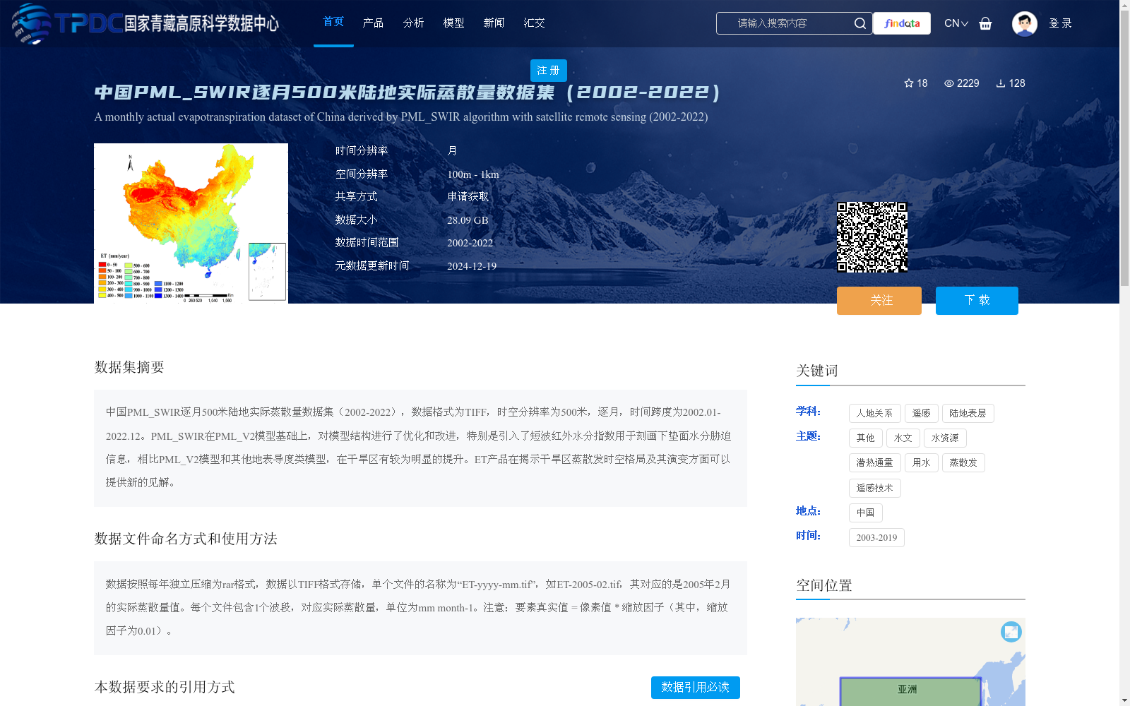
中国PML_SWIR逐月500米陆地实际蒸散量数据集(2002-2022),数据格式为TIFF,时空分辨率为500米,逐月,时间跨度为2002.01-2022.12。PML_SWIR在PML_V2模型基础上,对模型结构进行了优化和改进,特别是引入了短波红外水分指数用于刻画下垫面水分胁迫信息,相比PML_V2模型和其他地表导度类模型,在干旱区有较为明显的提升。ET产品在揭示干旱区蒸散发时空格局及其演变方面可以提供新的见解。
Monthly 500-meter terrestrial actual evapotranspiration dataset PML_SWIR over China (2002-2022) is stored in TIFF format, with a spatiotemporal resolution of 500 meters and monthly temporal resolution, covering the period from January 2002 to December 2022. Based on the PML_V2 model, PML_SWIR has optimized and revised its model structure, particularly introducing the shortwave infrared water index to characterize the water stress information of underlying surfaces. Compared with the PML_V2 model and other surface conductance-related models, PML_SWIR achieves notably better performance in arid regions. This evapotranspiration (ET) product can provide new insights into revealing the spatiotemporal patterns and evolutionary processes of evapotranspiration in arid regions.
提供机构:
杨永民
创建时间:
2024-07-17
搜集汇总
数据集介绍
背景与挑战
背景概述
该数据集提供了中国陆地2002年至2022年逐月500米空间分辨率的实际蒸散量数据,采用TIFF格式存储。它基于PML_SWIR算法优化,通过引入短波红外水分指数改进了干旱区的蒸散发估算,能更准确地揭示干旱区蒸散发的时空变化格局。数据适用于水文、水资源和遥感等领域的研究,需通过申请获取,并按规定引用。
以上内容由遇见数据集搜集并总结生成


