四川省1km分辨率NDVI数据集(2001-2010年)
收藏国家地球系统科学数据中心2017-11-29 更新2024-03-04 收录
下载链接:
https://www.geodata.cn/data/datadetails.html?dataguid=34402233038806&docId=22950
下载链接
链接失效反馈官方服务:
资源简介:
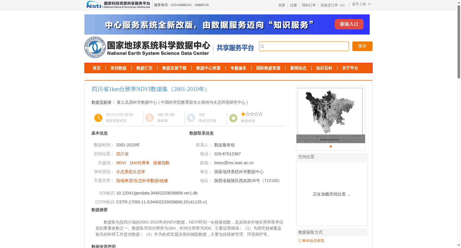
数据集包括四川省的2001-2010年的NDVI数据,NDVI即归一化植被指数,是反映农作物长势和营养信息的重要参数之一。数据集空间分辨率为1km,时间分辨率为30d。主要应用领域:(1)为研究植被覆盖相关的科研工作提供数据;(2)作为政府宏观决策的辅助数据,主要包括植被管理、环境保护等。
This dataset encompasses NDVI (Normalized Difference Vegetation Index) data of Sichuan Province spanning from 2001 to 2010. NDVI is one of the key parameters reflecting crop growth status and nutritional information. The dataset has a spatial resolution of 1 km and a temporal resolution of 30 days. Its main application areas are as follows: 1) Providing data support for scientific research related to vegetation coverage; 2) Serving as auxiliary data for government macro decision-making, including vegetation management, environmental protection and other related fields.
提供机构:
中国科学院教育部水土保持与生态环境研究中心
创建时间:
2014-11-25
搜集汇总
数据集介绍
背景与挑战
背景概述
该数据集包含四川省2001-2010年的1km分辨率NDVI数据,时间分辨率为30天,适用于植被覆盖研究和政府决策支持。
以上内容由遇见数据集搜集并总结生成


