典型泥炭湿地碳通量和土壤微生物数据集(2019-2023)
收藏资源简介:
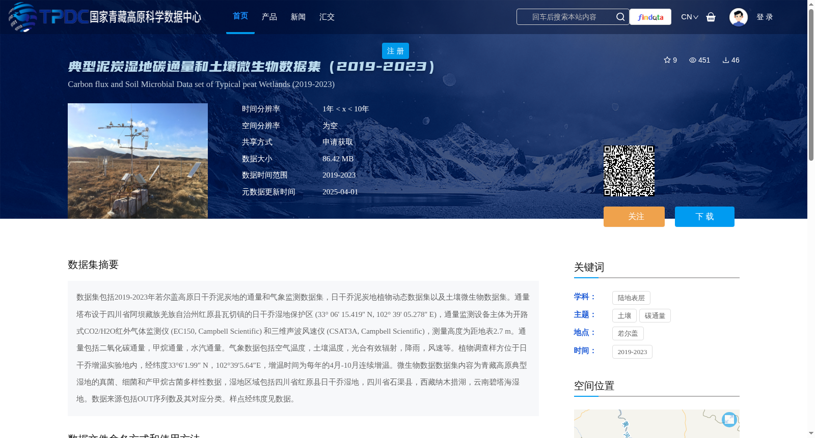
数据集包括2019-2023年若尔盖高原日干乔泥炭地的通量和气象监测数据集,日干乔泥炭地植物动态数据集以及土壤微生物数据集。通量塔布设于四川省阿坝藏族羌族自治州红原县瓦切镇的日干乔湿地保护区 (33° 06' 15.419'' N, 102° 39' 05.278'' E),通量监测设备主体为开路式CO2/H2O红外气体监测仪 (EC150, Campbell Scientific) 和三维声波风速仪 (CSAT3A, Campbell Scientific),测量高度为距地表2.7 m。通量包括二氧化碳通量,甲烷通量,水汽通量。气象数据包括空气温度,土壤温度,光合有效辐射,降雨,风速等。植物调查样方位于日干乔增温实验地内,经纬度33°6′1.99″ N,102°39′5.64″E,增温时间为每年的4月-10月连续增温。微生物数据数据集内容为青藏高原典型湿地的真菌、细菌和产甲烷古菌多样性数据,湿地区域包括四川省红原县日干乔湿地,四川省石渠县,西藏纳木措湖,云南碧塔海湿地。数据来源包括OUT序列数及其对应分类。样点经纬度见数据。
This dataset includes flux and meteorological monitoring datasets, plant dynamics datasets of the Riganqiao Peatland, and soil microbial datasets of the Riganqiao Peatland in the Zoige Plateau from 2019 to 2023. The flux tower was installed at the Riganqiao Wetland Reserve in Waqie Town, Hongyuan County, Aba Tibetan and Qiang Autonomous Prefecture, Sichuan Province, with geographic coordinates of 33° 06' 15.419'' N, 102° 39' 05.278'' E. The primary flux monitoring equipment consists of an open-path CO2/H2O infrared gas analyzer (EC150, Campbell Scientific) and a three-dimensional sonic anemometer (CSAT3A, Campbell Scientific), with a measurement height of 2.7 meters above the ground surface. The monitored fluxes cover carbon dioxide flux, methane flux, and water vapor flux. Meteorological data includes air temperature, soil temperature, photosynthetically active radiation (PAR), rainfall, wind speed, and other relevant parameters. The plant survey quadrats are located within the Riganqiao warming experimental site, with coordinates of 33°6′1.99" N, 102°39′5.64"E, and the warming treatment is conducted continuously from April to October each year. The soil microbial dataset contains diversity data of fungi, bacteria, and methanogenic archaea in typical wetlands of the Qinghai-Tibet Plateau. The surveyed wetland areas include the Riganqiao Wetland in Hongyuan County, Sichuan Province; Shiqu County, Sichuan Province; Nam Co Lake, Tibet Autonomous Region; and Bita Lake Wetland in Yunnan Province. The dataset includes OUT sequence counts and their corresponding taxonomic classifications. The geographic coordinates of all sampling sites are provided within the dataset.