青藏高原LST数据集(2002-2020)
收藏国家青藏高原科学数据中心2023-11-02 更新2024-03-01 收录
下载链接:
https://data.tpdc.ac.cn/zh-hans/data/f49652f8-6a55-416a-a47f-279f267e6318
下载链接
链接失效反馈官方服务:
资源简介:
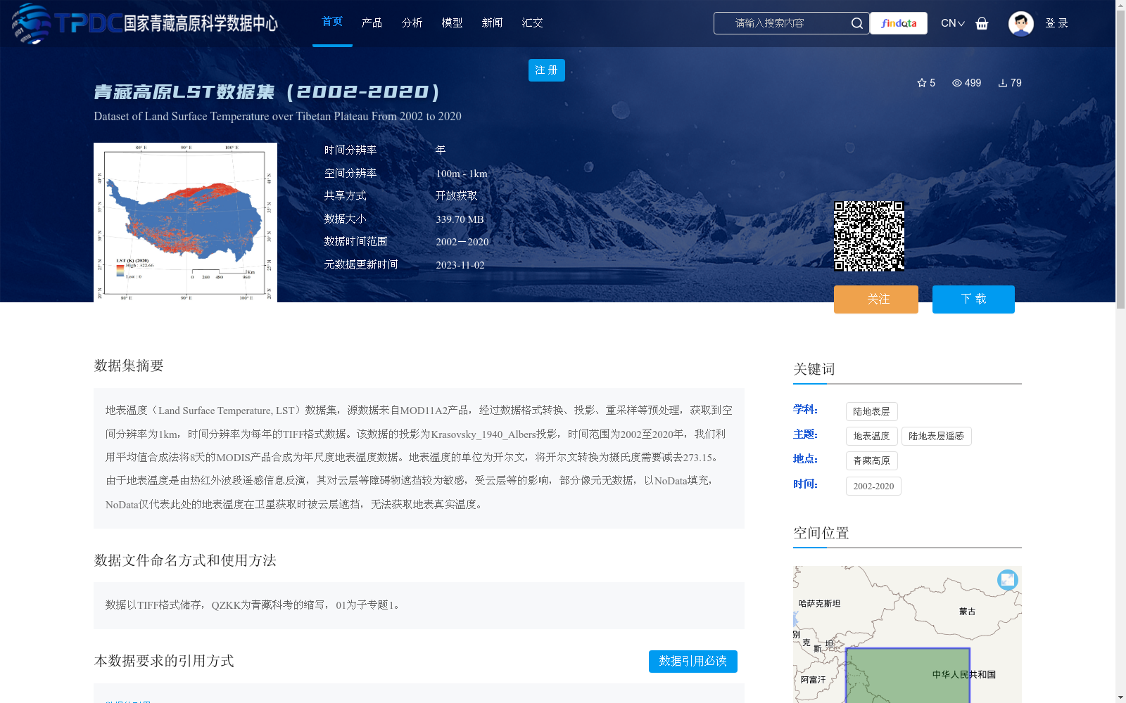
地表温度(Land Surface Temperature, LST)数据集,源数据来自MOD11A2产品,经过数据格式转换、投影、重采样等预处理,获取到空间分辨率为1km,时间分辨率为每年的TIFF格式数据。该数据的投影为Krasovsky_1940_Albers投影,时间范围为2002至2020年,我们利用平均值合成法将8天的MODIS产品合成为年尺度地表温度数据。地表温度的单位为开尔文,将开尔文转换为摄氏度需要减去273.15。由于地表温度是由热红外波段遥感信息反演,其对云层等障碍物遮挡较为敏感,受云层等的影响,部分像元无数据,以NoData填充,NoData仅代表此处的地表温度在卫星获取时被云层遮挡,无法获取地表真实温度。
Land Surface Temperature (LST) dataset: The source data is derived from the MOD11A2 product. After preprocessing including data format conversion, projection transformation and resampling, TIFF-format data with a spatial resolution of 1 km and an annual temporal resolution is obtained. The projection of this dataset is Krasovsky_1940_Albers, and its temporal coverage spans from 2002 to 2020. We synthesized the 8-day MODIS products into annual-scale Land Surface Temperature data using the average compositing method. The unit of Land Surface Temperature is Kelvin; to convert Kelvin to degrees Celsius, subtract 273.15. Since Land Surface Temperature is retrieved from remote sensing information of thermal infrared bands, it is highly sensitive to occlusion by obstacles such as clouds. Due to cloud interference, some pixels have no valid data, which are filled with NoData. Note that NoData only indicates that the surface temperature was occluded by clouds during satellite overpass, and thus the true surface temperature could not be obtained.
提供机构:
朱军涛
创建时间:
2022-06-04
搜集汇总
数据集介绍
背景与挑战
背景概述
该数据集提供了2002年至2020年青藏高原地表温度(LST)的年度数据,空间分辨率为1公里,基于MOD11A2产品经过预处理和合成得到。数据以TIFF格式存储,采用Krasovsky_1940_Albers投影,单位为开尔文,但受云层影响部分区域存在缺失值。它适用于研究青藏高原气候变化和地表过程,支持开放获取并需按规定引用。
以上内容由遇见数据集搜集并总结生成


