1966-2018亚洲中部地区干旱事件空间分布图
收藏地球大数据科学工程2024-04-21 收录
下载链接:
https://data.casearth.cn/sdo/detail/636e17ec819aec5df66b5220
下载链接
链接失效反馈官方服务:
资源简介:
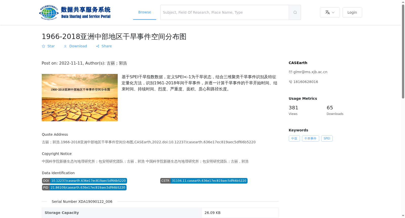
基于SPEI干旱指数数据,定义SPEI<-1为干旱状态,结合三维聚类干旱事件识别及特征定量化方法,识别1961-2018年间干旱事件,并逐一计算干旱事件的干旱开始时间、结束时间、持续时间、烈度、严重度、面积、质心和路径长度。
Based on the Standardized Precipitation Evapotranspiration Index (SPEI) dataset, we define SPEI values less than -1 as the drought condition. Using the three-dimensional clustering-based drought event identification and feature quantification approach, drought events during 1961-2018 are identified, and the start time, end time, duration, intensity, severity, affected area, centroid and path length of each individual drought event are calculated one by one.
提供机构:
CASEarth
搜集汇总
数据集介绍
背景与挑战
背景概述
该数据集基于SPEI干旱指数,通过三维聚类方法识别了1961-2018年亚洲中部地区的干旱事件,并量化了包括持续时间、烈度、面积和质心在内的多个干旱特征。数据集为矢量格式(shp),由中国科学院新疆生态与地理研究所的研究团队创建,适用于干旱空间分析和气候变化研究。
以上内容由遇见数据集搜集并总结生成


