全球30m分辨率的归一化城镇综合指数
收藏国家青藏高原科学数据中心2024-01-17 更新2024-03-07 收录
下载链接:
https://data.tpdc.ac.cn/zh-hans/data/cbac5f60-ec0b-4d80-9572-042a54c36326
下载链接
链接失效反馈官方服务:
资源简介:
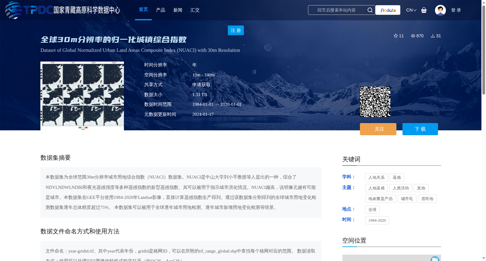
本数据集为全球范围30m分辨率城市用地综合指数(NUACI)数据集。NUACI是中山大学刘小平教授等人提出的一种,综合了NDVI,NDWI,NDBI和夜光遥感强度等多种遥感指数的新型遥感指数、其可以被用于指示城市演化情况。NUACI越高,说明像元越有可能是城市。本数据集在GEE平台使用1984-2020年Landsat影像,直接计算遥感指数生产得到。通过该数据集分割得到的全球城市用地变化检测数据集逐年总体精度超过75%。 本数据集可以被用于全球逐年城市用地检测、逐年城市新增用地变化检测等情景。
This dataset is the Global 30-meter Resolution Urban Land Comprehensive Index (NUACI) dataset. Proposed by Professor Liu Xiaoping and his colleagues from Sun Yat-sen University, NUACI is a novel remote sensing index that integrates multiple remote sensing indices including NDVI, NDWI, NDBI and nighttime light remote sensing intensity, and can be used to indicate urban evolution. Higher NUACI values indicate a higher probability that the corresponding pixel is urban land. This dataset was generated by directly calculating remote sensing indices using Landsat imagery from 1984 to 2020 on the Google Earth Engine (GEE) platform. The global urban land change detection dataset derived through segmentation based on this dataset achieves an annual overall accuracy of over 75%. This dataset can be applied to scenarios such as global annual urban land detection and annual newly increased urban land change detection.
提供机构:
刘小平,陈逸敏
创建时间:
2024-01-05
搜集汇总
数据集介绍
背景与挑战
背景概述
本数据集为全球30m分辨率的归一化城镇综合指数(NUACI),由中山大学刘小平教授等人提出,综合了多种遥感指数,用于指示城市演化情况,精度超过75%。数据基于1984-2020年Landsat影像生产,适用于全球逐年城市用地检测和变化检测,数据大小为1.31 TB,共享方式为申请获取。
以上内容由遇见数据集搜集并总结生成


