易贡溃决洪水二维模拟
收藏国家青藏高原科学数据中心2024-01-23 更新2024-03-01 收录
下载链接:
https://data.tpdc.ac.cn/zh-hans/data/848b98c9-b48e-42c5-a19b-017a78ef0556
下载链接
链接失效反馈官方服务:
资源简介:
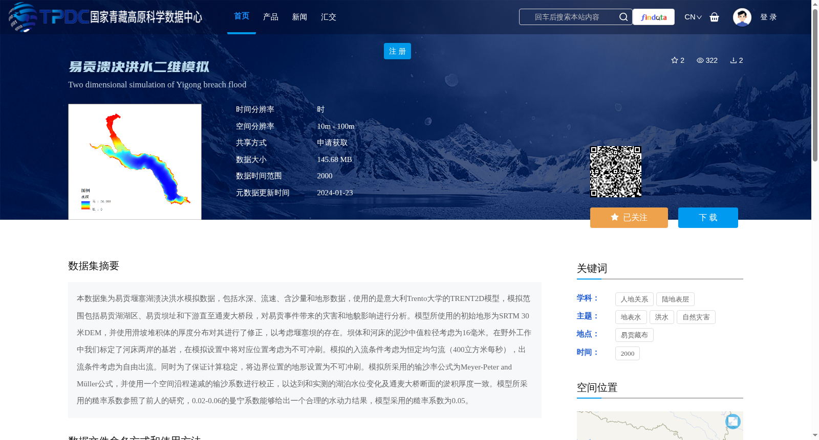
本数据集为易贡堰塞湖溃决洪水模拟数据,包括水深、流速、含沙量和地形数据,使用的是意大利Trento大学的TRENT2D模型,模拟范围包括易贡湖湖区、易贡坝址和下游直至通麦大桥段,对易贡事件带来的灾害和地貌影响进行分析。模型所使用的初始地形为SRTM 30米DEM,并使用滑坡堆积体的厚度分布对其进行了修正,以考虑堰塞坝的存在。坝体和河床的泥沙中值粒径考虑为16毫米。在野外工作中我们标定了河床两岸的基岩,在模拟设置中将对应位置考虑为不可冲刷。模拟的入流条件考虑为恒定均匀流(400立方米每秒),出流条件考虑为自由出流。同时为了保证计算稳定,将边界位置的地形设置为不可冲刷。模拟所采用的输沙率公式为Meyer-Peter and Müller公式,并使用一个空间沿程递减的输沙系数进行校正,以达到和实测的湖泊水位变化及通麦大桥断面的淤积厚度一致。模型所采用的糙率系数参照了前人的研究,0.02-0.06的曼宁系数能够给出一个合理的水动力结果,模型采用的糙率系数为0.05。
This dataset comprises simulation data for the Yigong barrier lake outburst flood, including water depth, flow velocity, sediment concentration and topographic data. The TRENT2D model developed by the University of Trento, Italy, was utilized for the simulations. The simulation scope covers the Yigong Lake basin, the Yigong dam site and the downstream reach up to the Tongmai Bridge, aiming to analyze the disaster and geomorphic impacts caused by the Yigong outburst event.
The initial topographic data used in the model was the SRTM 30m DEM, which was corrected based on the thickness distribution of the landslide deposits to account for the presence of the barrier dam. The median sediment particle size of the dam body and riverbed was set as 16 mm. Bedrock on both banks of the river was surveyed and mapped during field work, and the corresponding locations were set as non-scourable in the simulation setup.
The inflow condition for the simulations was set as steady uniform flow (400 m³/s), while the outflow condition was set as free outflow. Additionally, to ensure computational stability, the topography at the boundary locations was set as non-scourable.
The sediment transport rate formula adopted in the simulations was the Meyer-Peter and Müller formula, which was corrected using a spatially decreasing sediment transport coefficient along the flow path, to match the measured lake water level changes and the sediment deposition thickness at the Tongmai Bridge section.
The roughness coefficient used in the model was referenced from previous studies: Manning's roughness coefficients ranging from 0.02 to 0.06 can produce reasonable hydrodynamic results, and the model adopted a Manning's n value of 0.05.
提供机构:
胡宏昌,崔一飞,徐梦珍,傅旭东,雷云龙
创建时间:
2024-01-17
搜集汇总
数据集介绍
背景与挑战
背景概述
该数据集包含易贡堰塞湖溃决洪水模拟数据,涵盖水深、流速、含沙量和地形数据,使用TRENT2D模型模拟,空间分辨率为10m-100m,时间范围为2000年。数据主要用于分析溃决洪水事件带来的灾害和地貌影响。
以上内容由遇见数据集搜集并总结生成


