Voxel51/ariel_scans
收藏资源简介:
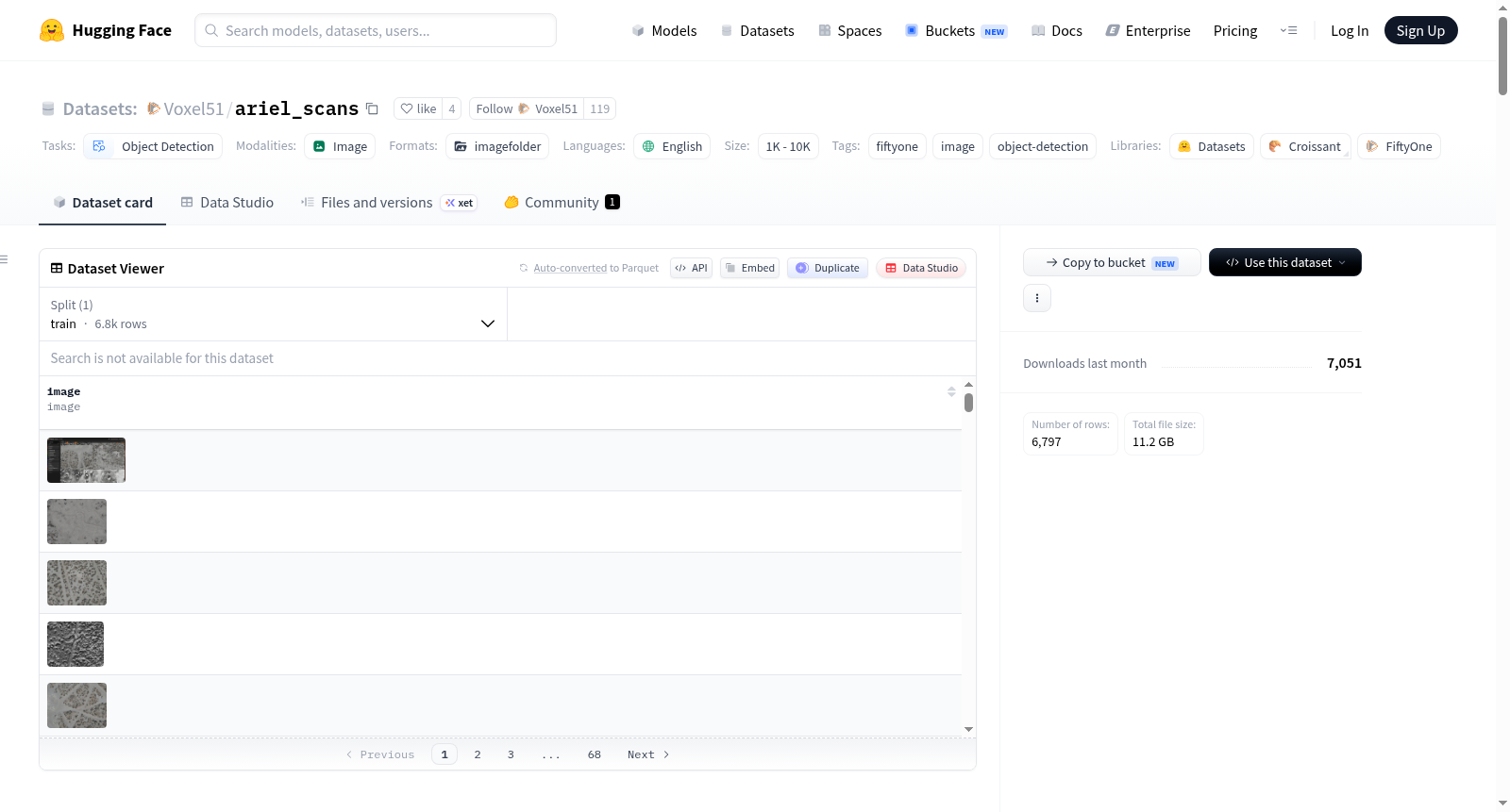
Ariel_Scans是一个航空搜索和救援数据集,专门用于寻找一架在沙漠中失踪的自制涡轮遥控飞机。数据集包含6546个样本,由RGB(约3274帧)和热成像/红外(约3272帧)传感器采集,每帧图像都是俯瞰的沙漠地形,极其相似。数据集还提供了完整的FiftyOne分析层,包括CLIP嵌入、相似性索引、2D UMAP映射、来自plane_finder插件的候选检测(基于暗斑、细长形状、平滑内部分析的规则检测器)、几何特征、补丁嵌入、独特性评分以及十个保存的视图,用于将6546帧缩小到值得人工审查的少量帧。数据集由Harpreet Sahota(Voxel51)策划,基于Reddit上的一个50美元悬赏任务,旨在帮助寻找飞机并作为视觉AI工具的教学示例。语言为英语,许可证为MIT(代码和注释),图像由原始发布者提供。数据集结构包括样本字段(如文件路径、元数据、clip_embeddings、dark_mask、plane_candidates等)、保存的视图(如candidates_by_score、top_shortlist等)和脑运行(如clip_sim、clip_viz等)。创建动机是解决一个实际搜索问题并展示视觉AI工具的应用。源数据来自原始飞行员的自动航空测绘网格,处理过程使用FiftyOne完成。注释是机器生成的候选检测,没有人工标注。数据集的偏见和风险包括类别不平衡(可能只有少数帧包含飞机)、检测器简单(可能误检阴影或灌木)、传感器域差距(RGB和热成像差异大)以及没有成功保证。
Ariel_Scans is an aerial search-and-rescue dataset for exactly one missing object: a self-built turbine RC plane that crashed somewhere in the desert. The dataset contains 6546 samples, captured by RGB (~3274 frames) and thermal/IR (~3272 frames) sensors, with each frame being overhead imagery of desert terrain that is heartbreakingly similar. The release also includes the full FiftyOne analysis layer built to crack it: CLIP embeddings, a similarity index, a 2D UMAP map, candidate detections from the plane_finder plugin (a classic dark-blob / elongated-shape / smooth-interior detector), per-detection geometry features, patch embeddings, uniqueness scores, and ten saved views that triage 6,546 frames down to a handful worth human review. The dataset is curated by Harpreet Sahota (Voxel51) on behalf of a Reddit bounty of $50, aiming to help find the plane and serve as a teaching example for visual-AI tooling. The language is English, with an MIT license for code and annotations, and imagery courtesy of the original poster. The dataset structure includes sample fields (e.g., filepath, metadata, clip_embeddings, dark_mask, plane_candidates), saved views (e.g., candidates_by_score, top_shortlist), and brain runs (e.g., clip_sim, clip_viz). The curation rationale is to address a real-world search problem and demonstrate the application of visual AI tools. Source data comes from the original pilots automated aerial mapping grid, processed using FiftyOne. Annotations are machine-generated candidate detections with no human labeling. Biases and risks include massive class imbalance (possibly only a few frames contain the plane), a simple detector (may false positive on shadows or bushes), sensor domain gap (differences between RGB and thermal), and no guarantee of success.