
Vaihingen数据集
收藏阿里云天池2026-05-27 更新2024-06-25 收录
下载链接:
https://tianchi.aliyun.com/dataset/181847
下载链接
链接失效反馈官方服务:
资源简介:
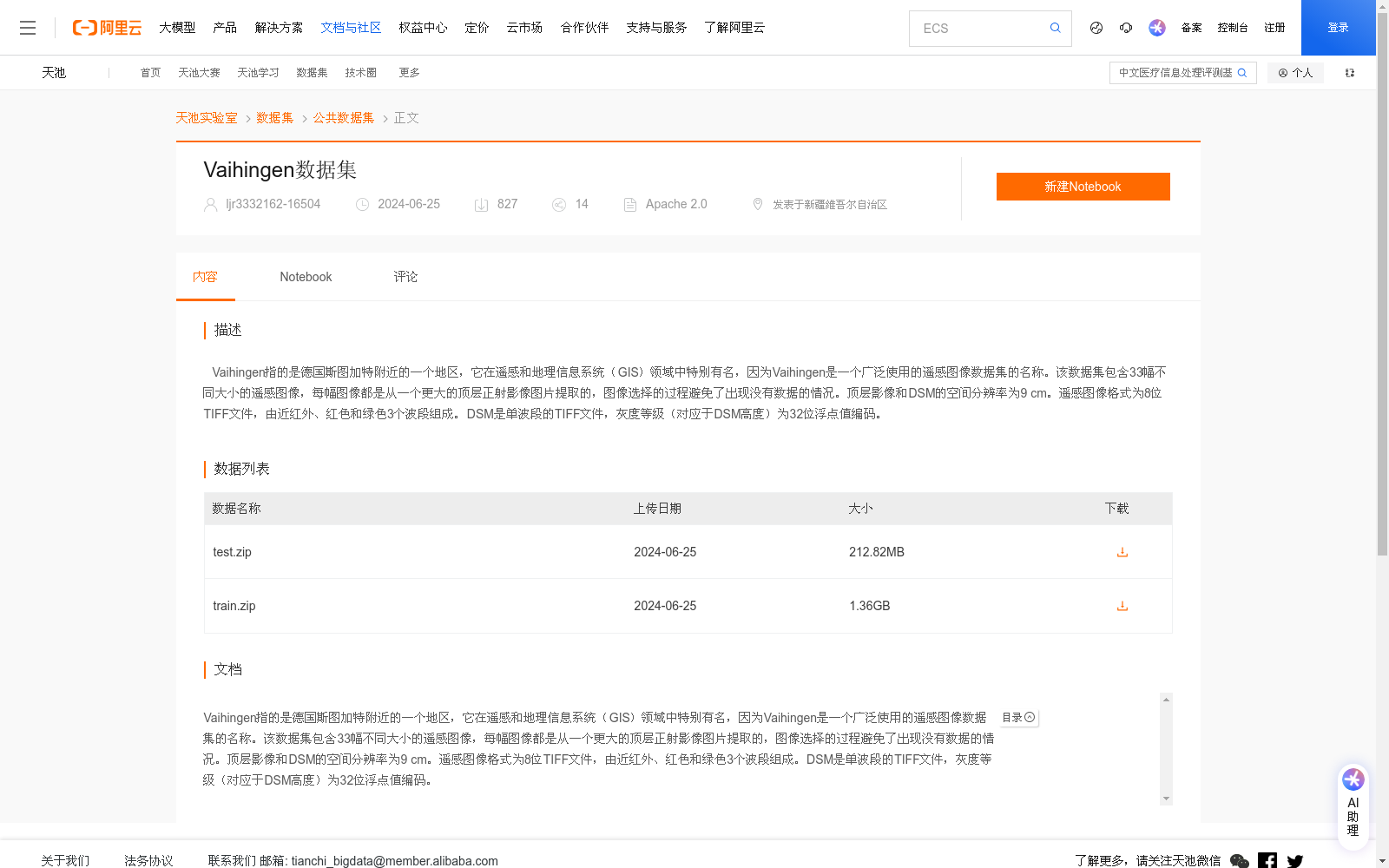
Vaihingen指的是德国斯图加特附近的一个地区,它在遥感和地理信息系统(GIS)领域中特别有名,因为Vaihingen是一个广泛使用的遥感图像数据集的名称。该数据集包含33幅不同大小的遥感图像,每幅图像都是从一个更大的顶层正射影像图片提取的,图像选择的过程避免了出现没有数据的情况。顶层影像和DSM的空间分辨率为9 cm。遥感图像格式为8位TIFF文件,由近红外、红色和绿色3个波段组成。DSM是单波段的TIFF文件,灰度等级(对应于DSM高度)为32位浮点值编码。
Vaihingen refers to a region near Stuttgart, Germany. It is particularly renowned in the fields of remote sensing and Geographic Information Systems (GIS), as Vaihingen is the name of a widely used remote sensing image dataset. This dataset contains 33 remote sensing images of varying sizes, each extracted from a larger top-level orthophoto. The image selection process avoids scenarios with missing valid data. The spatial resolution of both the top-level orthophoto and DSM is 9 cm. The remote sensing images are stored as 8-bit TIFF files, comprising three bands: near-infrared, red, and green. The DSM is a single-band TIFF file, where the grayscale values (corresponding to the DSM height) are encoded as 32-bit floating-point values.
提供机构:
阿里云天池
创建时间:
2024-06-25
搜集汇总
数据集介绍
背景与挑战
背景概述
Vaihingen数据集是一个广泛使用的遥感图像数据集,包含33幅不同大小的遥感图像,源自德国斯图加特附近的Vaihingen地区。该数据集提供高空间分辨率(9 cm)的顶层正射影像和数字表面模型(DSM),影像由近红外、红色和绿色三个波段组成,格式为8位TIFF,适用于遥感分析和地理信息系统研究。
以上内容由遇见数据集搜集并总结生成



