1940 Census Population Schedules, Enumeration District Maps, and Enumeration District Descriptions
收藏registry.opendata.aws2025-03-25 收录
下载链接:
https://registry.opendata.aws/nara-1940-census/
下载链接
链接失效反馈官方服务:
资源简介:
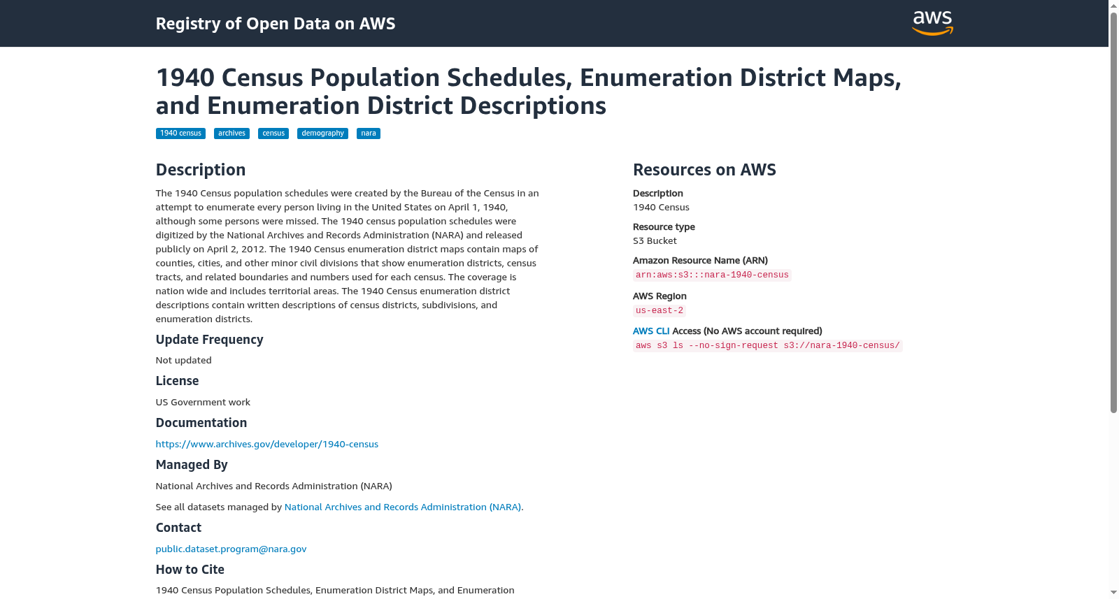
The 1940 Census population schedules were created by the Bureau of the Census in an attempt to enumerate every person living in the United States on April 1, 1940, although some persons were missed. The 1940 census population schedules were digitized by the National Archives and Records Administration (NARA) and released publicly on April 2, 2012. The 1940 Census enumeration district maps contain maps of counties, cities, and other minor civil divisions that show enumeration districts, census tracts, and related boundaries and numbers used for each census. The coverage is nation wide and includes territorial areas. The 1940 Census enumeration district descriptions contain written descriptions of census districts, subdivisions, and enumeration districts.
1940年人口普查的人口登记表由人口普查局编制,旨在对1940年4月1日居住在美国的每一个人进行统计,尽管某些个体未能被纳入统计范围。1940年人口普查的人口登记表由国家档案馆与记录管理局(NARA)进行数字化处理,并于2012年4月2日公开发布。1940年人口普查的选区地图包含了各县的地图、城市以及其他较小的行政区划地图,展示了选区、普查区及相关边界及每个普查中使用的编号。该数据覆盖全国范围,并包括领土区域。1940年人口普查的选区描述包含了关于普查区、次级行政区划以及选区的书面描述。
提供机构:
registry.opendata.aws
搜集汇总
数据集介绍
背景与挑战
背景概述
该数据集由美国国家档案与记录管理局(NARA)提供,包含1940年人口普查的人口计划、普查区地图和描述,旨在枚举当时美国所有居民,覆盖全国包括领土区域,数据已数字化并公开,但不再更新。数据集基于美国政府工作许可证,主要用于历史研究和人口分析。
以上内容由遇见数据集搜集并总结生成


