全球台风路径数据集(2018)
收藏国家青藏高原科学数据中心2022-12-23 更新2024-05-01 收录
下载链接:
https://data.tpdc.ac.cn/zh-hans/data/e9c7f1ab-e1d1-4230-9427-d83f840db04d
下载链接
链接失效反馈官方服务:
资源简介:
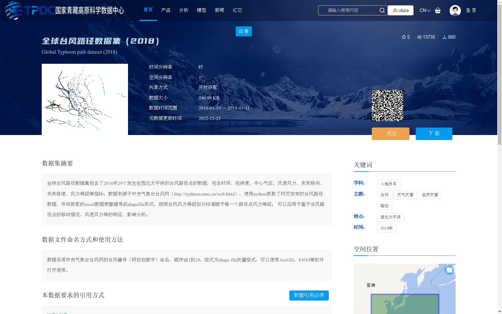
全球台风路径数据集包含了2018年29个发生在西北太平洋的台风路径点的数据,包含时间、经纬度、中心气压、风速风力、未来移向、未来移速、风力等级等指标;数据来源于中央气象台台风网(http://typhoon.nmc.cn/web.html),使用python抓取了网页发布的台风路径数据,并将抓取的excel数据表整理导成shapefile形式,按照台风风力等级划分标准赋予每一个路径点风力等级;
可以应用于基于台风路径点的移动情况、风速风力等的特征、影响分析。
Global Typhoon Path Dataset contains data of 29 typhoon track points that occurred in the Northwestern Pacific Ocean in 2018, with indicators including time, longitude and latitude, central atmospheric pressure, wind speed and intensity, future moving direction, future moving speed, wind scale and other relevant metrics. The dataset is sourced from the Typhoon Network of the National Meteorological Center of China (http://typhoon.nmc.cn/web.html). We employed Python to scrape the publicly released typhoon track data from the website, organized and converted the scraped Excel spreadsheet into Shapefile format, and assigned wind scale levels to each track point in accordance with the official typhoon wind scale classification standards. This dataset can be applied to feature analysis and impact assessment based on the movement characteristics, wind speed and intensity of typhoon track points.
提供机构:
陈怡婷,杨华,武建军,周红敏
创建时间:
2019-09-16
搜集汇总
数据集介绍
背景与挑战
背景概述
该数据集整理了2018年西北太平洋的29个台风路径点数据,包含时间、位置、气压、风速等多维指标,源自中央气象台台风网并处理为shapefile格式,适用于台风移动和影响分析。数据具有1º空间分辨率和小时级时间分辨率,以开放获取方式共享,便于地理信息系统软件使用。
以上内容由遇见数据集搜集并总结生成


