全球灌溉农田灌溉用水量遥感估算数据集(2011-2018)
收藏国家青藏高原科学数据中心2022-04-15 更新2024-03-06 收录
下载链接:
https://data.tpdc.ac.cn/zh-hans/data/ad558954-bc55-44cf-94c8-bdb33820f784
下载链接
链接失效反馈官方服务:
资源简介:
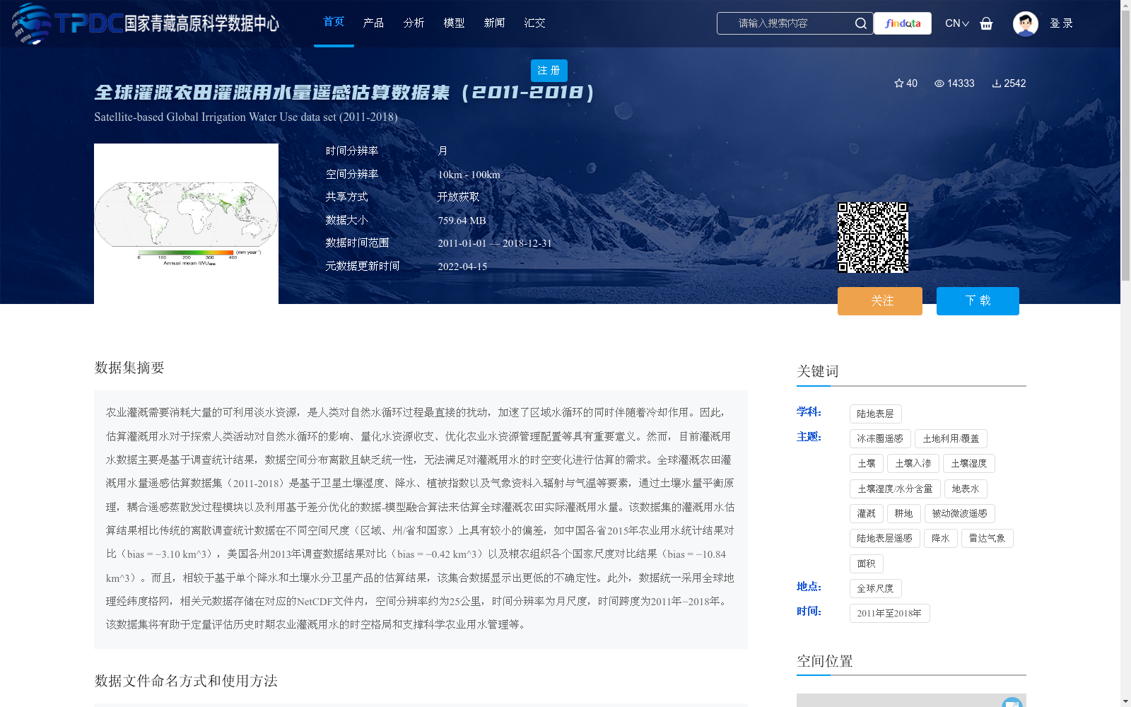
农业灌溉需要消耗大量的可利用淡水资源,是人类对自然水循环过程最直接的扰动,加速了区域水循环的同时伴随着冷却作用。因此,估算灌溉用水对于探索人类活动对自然水循环的影响、量化水资源收支、优化农业水资源管理配置等具有重要意义。然而,目前灌溉用水数据主要是基于调查统计结果,数据空间分布离散且缺乏统一性,无法满足对灌溉用水的时空变化进行估算的需求。全球灌溉农田灌溉用水量遥感估算数据集(2011-2018)是基于卫星土壤湿度、降水、植被指数以及气象资料入辐射与气温等要素,通过土壤水量平衡原理,耦合遥感蒸散发过程模块以及利用基于差分优化的数据-模型融合算法来估算全球灌溉农田实际灌溉用水量。该数据集的灌溉用水估算结果相比传统的离散调查统计数据在不同空间尺度(区域、州/省和国家)上具有较小的偏差,如中国各省2015年农业用水统计结果对比(bias = −3.10 km^3),美国各州2013年调查数据结果对比(bias = −0.42 km^3)以及粮农组织各个国家尺度对比结果(bias = −10.84 km^3)。而且,相较于基于单个降水和土壤水分卫星产品的估算结果,该集合数据显示出更低的不确定性。此外,数据统一采用全球地理经纬度格网,相关元数据存储在对应的NetCDF文件内,空间分辨率约为25公里,时间分辨率为月尺度,时间跨度为2011年−2018年。该数据集将有助于定量评估历史时期农业灌溉用水的时空格局和支撑科学农业用水管理等。
Agricultural irrigation consumes a large amount of available freshwater resources, representing the most direct human perturbation to the natural water cycle. It accelerates regional water circulation while accompanying cooling effects. Therefore, estimating irrigation water consumption is of great significance for exploring the impacts of human activities on the natural water cycle, quantifying water budget, optimizing the management and allocation of agricultural water resources, and other related research. However, current irrigation water data are mostly based on survey and statistical results, which have discrete spatial distributions and lack uniformity, failing to meet the demand for estimating spatiotemporal changes of irrigation water use. The Global Remote Sensing Estimation Dataset of Irrigation Water Consumption for Croplands (2011–2018) estimates actual irrigation water consumption for global croplands using satellite soil moisture, precipitation, vegetation indices, and meteorological data including radiation and air temperature, based on the soil water balance principle, coupled with a remote sensing evapotranspiration process module and a differential optimization-based data-model fusion algorithm. The irrigation water consumption estimation results of this dataset exhibit smaller biases across different spatial scales (regional, state/provincial, and national) compared to traditional discrete survey and statistical data. For example, comparisons with 2015 agricultural water statistical results for Chinese provinces show a bias of −3.10 km³, comparisons with 2013 survey data for US states show a bias of −0.42 km³, and comparisons at the national scale with data from the Food and Agriculture Organization (FAO) show a bias of −10.84 km³. Moreover, compared with estimation results based on single satellite products of precipitation and soil moisture, this dataset exhibits lower uncertainty. In addition, the data uniformly adopts a global geographic latitude-longitude grid, with relevant metadata stored in corresponding NetCDF files. It has a spatial resolution of approximately 25 km, a temporal resolution of monthly scale, and covers the time span from 2011 to 2018. This dataset will facilitate the quantitative assessment of spatiotemporal patterns of agricultural irrigation water consumption in historical periods and support scientific agricultural water management and other related applications.
提供机构:
张琨,李新,郑东海,张凌,朱高峰
创建时间:
2021-03-25
搜集汇总
数据集介绍
背景与挑战
背景概述
该数据集是一个全球灌溉农田灌溉用水量的遥感估算数据集,覆盖2011年至2018年,基于卫星土壤湿度、降水、植被指数和气象资料,通过土壤水量平衡原理和遥感蒸散发过程模块估算月尺度灌溉用水量,空间分辨率约为25公里。相比传统调查统计数据,该数据集偏差较小且不确定性更低,适用于分析灌溉用水的时空变化和支持农业水资源管理。
以上内容由遇见数据集搜集并总结生成


