湖南省1:100万土壤类型图(2018年)
收藏国家地球系统科学数据中心2025-06-10 更新2024-03-04 收录
下载链接:
https://www.geodata.cn/data/datadetails.html?dataguid=102827355336539&docId=1148
下载链接
链接失效反馈官方服务:
资源简介:
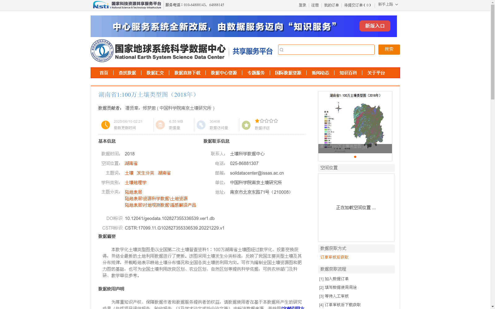
本数字化土壤类型图是以全国第二次土壤普查资料1∶100万湖南省土壤图经过数字化、投影变换获得,并结合最新的土地利用数据进行了更新。该图采用土壤发生分类标准,反映了我国主要类型土壤及其分布规律,并概略地表示耕地土壤分布情况和全国各类土壤的利用方向。可作为编制全国土壤资源图和肥力图的基础,也可为全国土壤利用改良区划、农业区划、自然区划等提供科学依据,可供农林部门及科研、教学单位参考。
This digital soil type map was developed by digitizing and performing projection transformation on the 1:1,000,000 scale soil map of Hunan Province sourced from the Second National Soil Survey, and was subsequently updated with the latest land use data. Adopting the genetic soil classification standards, this map reflects the major soil types in China and their distribution patterns, and roughly depicts the distribution of arable soils as well as the utilization directions of various soil types across the country. It can serve as a foundational resource for compiling national soil resource maps and soil fertility maps, and also provide scientific foundations for national soil utilization and improvement zoning, agricultural zoning, physical regionalization and other relevant studies. In addition, it can be used as a reference by agricultural and forestry departments, scientific research institutions and educational units.
提供机构:
中国科学院南京土壤研究所
创建时间:
2022-12-29
搜集汇总
数据集介绍
背景与挑战
背景概述
该数据集是2018年湖南省1:100万土壤类型数字化地图,基于全国第二次土壤普查资料,采用土壤发生分类标准,并结合最新土地利用数据更新。它反映了湖南省主要土壤类型的分布规律和利用方向,适用于土壤资源研究、农业规划及教学参考等科学用途。
以上内容由遇见数据集搜集并总结生成


