亚洲高山区30km格网雪线高度数据集(2001-2019)
收藏国家青藏高原科学数据中心2022-04-19 更新2024-04-21 收录
下载链接:
https://data.tpdc.ac.cn/zh-hans/data/0cb6baaf-d43a-4d6b-84db-a7c5aa1c8e73
下载链接
链接失效反馈官方服务:
资源简介:
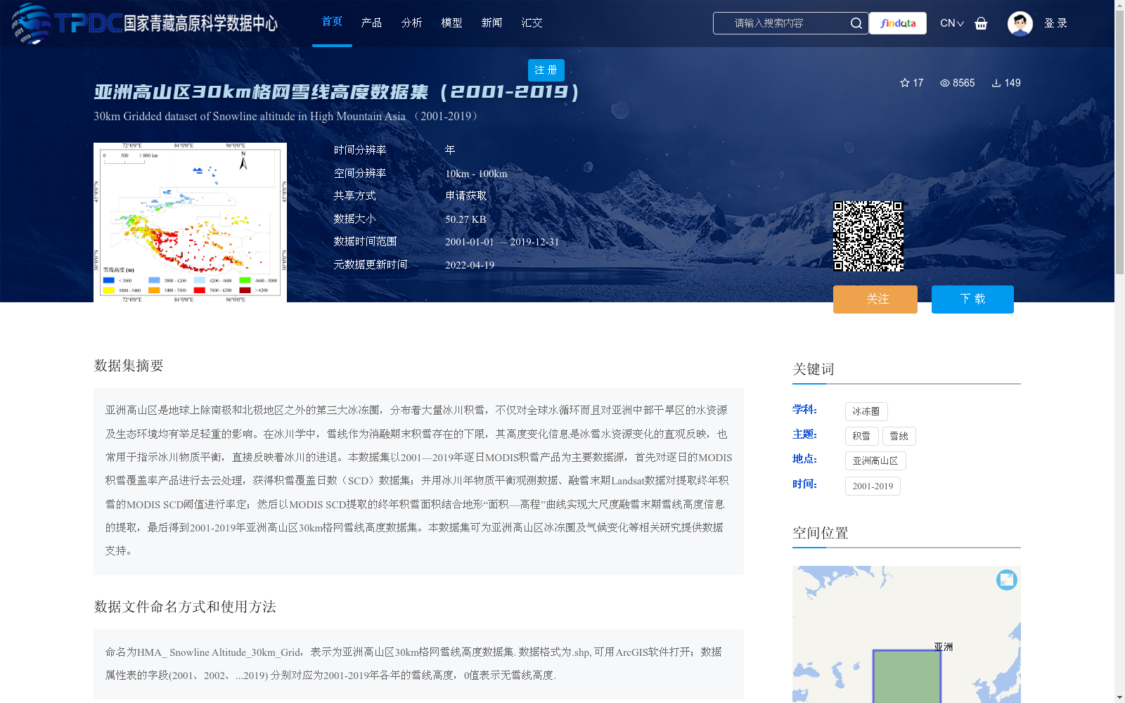
亚洲高山区是地球上除南极和北极地区之外的第三大冰冻圈,分布着大量冰川积雪,不仅对全球水循环而且对亚洲中部干旱区的水资源及生态环境均有举足轻重的影响。在冰川学中,雪线作为消融期末积雪存在的下限,其高度变化信息是冰雪水资源变化的直观反映,也常用于指示冰川物质平衡,直接反映着冰川的进退。本数据集以2001—2019年逐日MODIS积雪产品为主要数据源,首先对逐日的MODIS积雪覆盖率产品进行去云处理,获得积雪覆盖日数(SCD)数据集;并用冰川年物质平衡观测数据、融雪末期Landsat数据对提取终年积雪的MODIS SCD阈值进行率定;然后以MODIS SCD提取的终年积雪面积结合地形“面积—高程”曲线实现大尺度融雪末期雪线高度信息的提取,最后得到2001-2019年亚洲高山区30km格网雪线高度数据集。本数据集可为亚洲高山区冰冻圈及气候变化等相关研究提供数据支持。
The High Mountain Asia (HMA) is the third largest cryosphere on Earth, excluding the Antarctic and Arctic regions. It hosts extensive glaciers and snow cover, exerting a pivotal influence on both global water circulation and water resources as well as the ecological environment of arid central Asia.
In glaciology, the snow line is defined as the lower limit of persistent snow cover at the end of the ablation season. Its elevation change data serves as an intuitive reflection of variations in ice and snow water resources, and is commonly used to indicate glacier mass balance, directly demonstrating the advance and retreat of glaciers.
This dataset uses daily MODIS snow cover products from 2001 to 2019 as its primary data source. First, cloud removal processing was conducted on the daily MODIS snow cover fraction products to generate the Snow Cover Days (SCD) dataset. Then, the MODIS SCD threshold for extracting persistent snow cover was calibrated using annual glacier mass balance observation data and Landsat data acquired at the end of the snowmelt period. Subsequently, combining the persistent snow cover area extracted from MODIS SCD with the topographic area-elevation curve, large-scale snow line elevations at the end of the snowmelt season were extracted. Finally, a 30 km grid snow line elevation dataset of High Mountain Asia spanning 2001 to 2019 was developed.
This dataset can provide data support for relevant studies including cryosphere and climate change research in High Mountain Asia.
提供机构:
唐志光,邓刚,王晓茹
创建时间:
2020-11-04
搜集汇总
数据集介绍
背景与挑战
背景概述
该数据集提供了2001年至2019年亚洲高山区30km格网雪线高度信息,基于MODIS积雪产品通过去云处理和阈值率定方法生成,用于反映冰雪水资源变化和冰川物质平衡。数据以.shp格式存储,包含逐年雪线高度字段,适用于冰冻圈及气候变化相关研究,空间覆盖范围为东经68.1°至102°、北纬27.35°至50.45°。
以上内容由遇见数据集搜集并总结生成


