黄土高原90米分辨率DEM(2012年)
收藏国家地球系统科学数据中心2017-11-28 更新2024-03-04 收录
下载链接:
https://www.geodata.cn/data/datadetails.html?dataguid=146636166311650&docId=23069
下载链接
链接失效反馈官方服务:
资源简介:
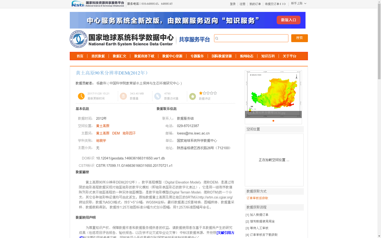
黄土高原90米分辨率DEM(2012年),数字高程模型(Digital Elevation Model),简称DEM,是通过有限的地形高程数据实现对地面地形的数字化模拟(即地形表面形态的数字化表达),它是用一组有序数值阵列形式表示地面高程的一种实体地面模型,是数字地形模型(Digital Terrain Model,简称DTM)的一个分支,其它各种地形特征值均可由此派生。原始数据黄土高原及周边地区的SRTM从http://srtm.csi.cgiar.org/网站获取,数据为ASCII格式,按5°×5°分幅,WGS84坐标;最终数据通过投影转换、图幅拼接、数据重采样、数据裁剪得到。 数据按1:25万地图标准分幅方式划分图幅,用1:25万标准图幅号命名。
90 m Resolution DEM of the Loess Plateau (2012)
Digital Elevation Model (DEM) is a digital simulation of ground terrain based on limited topographic elevation data (i.e., a digital representation of terrain surface morphology). It is an entity ground model that represents ground elevation via a set of ordered numerical arrays, and is a branch of Digital Terrain Model (DTM), from which all other topographic characteristic values can be derived.
The original SRTM data covering the Loess Plateau and its surrounding areas was obtained from the website http://srtm.csi.cgiar.org/. The original data was in ASCII format, tiled into 5°×5° map sheets, and used the WGS84 coordinate system.
The final dataset was generated through projection transformation, map sheet mosaicking, data resampling and data clipping. The dataset is divided into map sheets according to the 1:250,000 topographic map standard sheet division rule, and named with the standard 1:250,000 map sheet numbers.
提供机构:
中国科学院教育部水土保持与生态环境研究中心
创建时间:
2017-07-21
搜集汇总
数据集介绍
背景与挑战
背景概述
该数据集是2012年黄土高原区域的90米分辨率数字高程模型(DEM),提供高精度的地形高程信息,适用于地理、环境等科学研究。数据来源于国家地球系统科学数据中心,使用时需遵循相关引用和致谢规范。
以上内容由遇见数据集搜集并总结生成


