全球5km分辨率土壤冻融状态的被动微波遥感产品(2002-2020)
收藏国家地球系统科学数据中心2023-05-09 更新2024-04-21 收录
下载链接:
https://www.geodata.cn/data/datadetails.html?dataguid=2894672020361&docId=5437
下载链接
链接失效反馈官方服务:
资源简介:
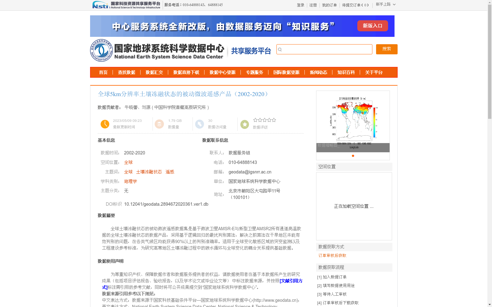
全球土壤冻融状态的被动微波遥感数据集是基于微波卫星AMSR-E与新型卫星AMSR2所有通道亮温数据的全球土壤冻融状态的数据产品,采用基于逻辑回归的最优判别算法,解决之前算法在干旱地区未能有效判别的问题,在各类气候区均能获得90%以上的判别准确率。适用于全球变化敏感区域的突变监测以及工程建设参考标准,为研究高寒地区土壤冻融过程中的碳水循环与全球变化的耦合关系提供基础数据。
The passive microwave remote sensing dataset of global soil freeze-thaw status is a specialized data product developed using all-channel brightness temperature data from the microwave satellites AMSR-E and the new-generation satellite AMSR2. It adopts an optimal discriminant algorithm based on logistic regression, which resolves the limitation of previous algorithms that failed to effectively identify soil freeze-thaw conditions in arid regions. The dataset achieves a discrimination accuracy of over 90% across all climate zones. It is suitable for abrupt change monitoring in globally climate change-sensitive regions and can act as a reference standard for engineering construction, while providing fundamental data for research on the coupling relationship between carbon and water cycles and global change during soil freeze-thaw processes in alpine regions.
提供机构:
中国科学院青藏高原研究所
创建时间:
2023-05-09
搜集汇总
数据集介绍
背景与挑战
背景概述
该数据集是全球5km分辨率的土壤冻融状态被动微波遥感产品(2002-2020),基于AMSR-E和AMSR2卫星数据,采用逻辑回归算法,各类气候区判别准确率超过90%,适用于全球变化监测和工程参考。
以上内容由遇见数据集搜集并总结生成


