
links-ads/fabdem-v12
收藏Hugging Face2025-09-12 更新2025-09-13 收录
下载链接:
https://hf-mirror.com/datasets/links-ads/fabdem-v12
下载链接
链接失效反馈官方服务:
资源简介:
FABDEM(森林与建筑移除Copernicus DEM)是一个全球数字高程模型数据集,提供30米分辨率的综合数字高程模型,系统地从Copernicus GLO 30数字高程模型中移除了建筑和树木高度偏差。这个增强的数据集为水文学建模、洪水风险评估和其他地理空间应用提供了更准确的裸地地形表示,在这些应用中,植被和建筑结构可能引入显著的高程误差。
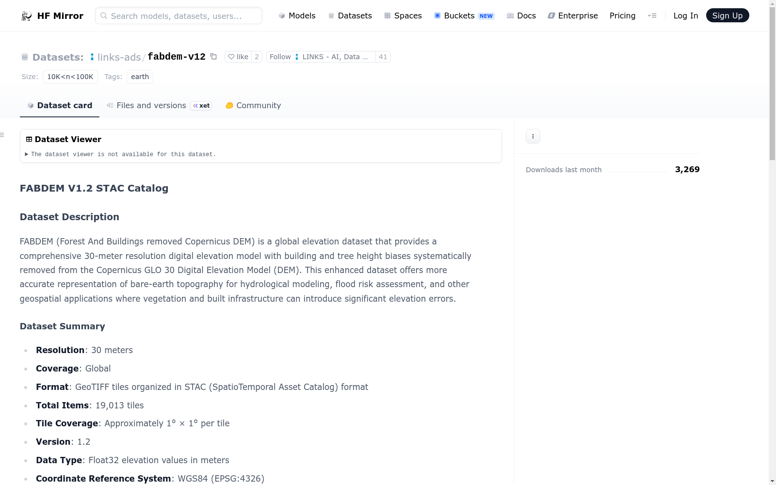
FABDEM (Forest And Buildings removed Copernicus DEM) is a global elevation dataset that provides a comprehensive 30-meter resolution digital elevation model with building and tree height biases systematically removed from the Copernicus GLO 30 Digital Elevation Model (DEM). This enhanced dataset offers more accurate representation of bare-earth topography for hydrological modeling, flood risk assessment, and other geospatial applications where vegetation and built infrastructure can introduce significant elevation errors.
提供机构:
links-ads
搜集汇总
数据集介绍
背景与挑战
背景概述
FABDEM V1.2是一个全球30米分辨率的高程数据集,通过去除植被和建筑物高度偏差,提供了更准确的地形高程表示。数据集采用STAC格式组织,包含19,013个GeoTIFF瓦片,适用于水文建模和洪水风险评估等应用。
以上内容由遇见数据集搜集并总结生成



