USVInland
收藏资源简介:
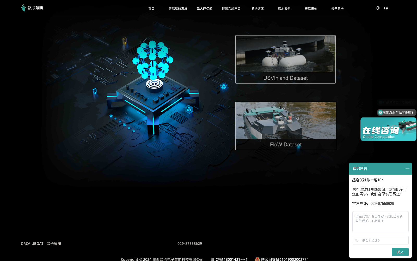
USVInland是首个针对内陆水域无人水面车辆(USVs)的多传感器数据集,由清华大学与ORCA-TECH合作创建。该数据集覆盖超过26公里的真实内陆水域场景,使用包括激光雷达、立体相机、毫米波雷达、GPS和惯性测量单元(IMUs)等多种传感器。数据集收集了不同时间和天气条件下的数据,以模拟真实世界的驾驶场景。USVInland旨在解决内陆水域USVs在感知和导航方面面临的挑战,如复杂障碍物分布、GPS信号拒绝环境、岸边结构反射和水面的雾。数据集支持同时定位与地图构建(SLAM)、立体匹配和水域分割等任务,为算法性能评估提供了基准。
USVInland is the first multi-sensor dataset dedicated to unmanned surface vehicles (USVs) in inland waters, jointly developed by Tsinghua University and ORCA-TECH. This dataset covers over 26 kilometers of real inland water scenarios, and was collected using a suite of sensors including LiDAR, stereo cameras, millimeter-wave radars, GPS, and inertial measurement units (IMUs). Data was gathered under varying time and weather conditions to replicate real-world operational scenarios for USVs. USVInland is designed to address the core challenges encountered by inland water USVs in perception and navigation, such as complex obstacle distributions, GPS signal-denied environments, reflections from shoreside structures, and water surface fog. This dataset supports multiple tasks including simultaneous localization and mapping (SLAM), stereo matching, and water area segmentation, serving as a benchmark for evaluating algorithm performance.