青藏高原生态资产评估遥感反演叶面积指数数据集(2000-2017)
收藏地球大数据科学工程2024-04-21 收录
下载链接:
https://data.casearth.cn/sdo/detail/5feae825819aec33049b7bf1
下载链接
链接失效反馈官方服务:
资源简介:
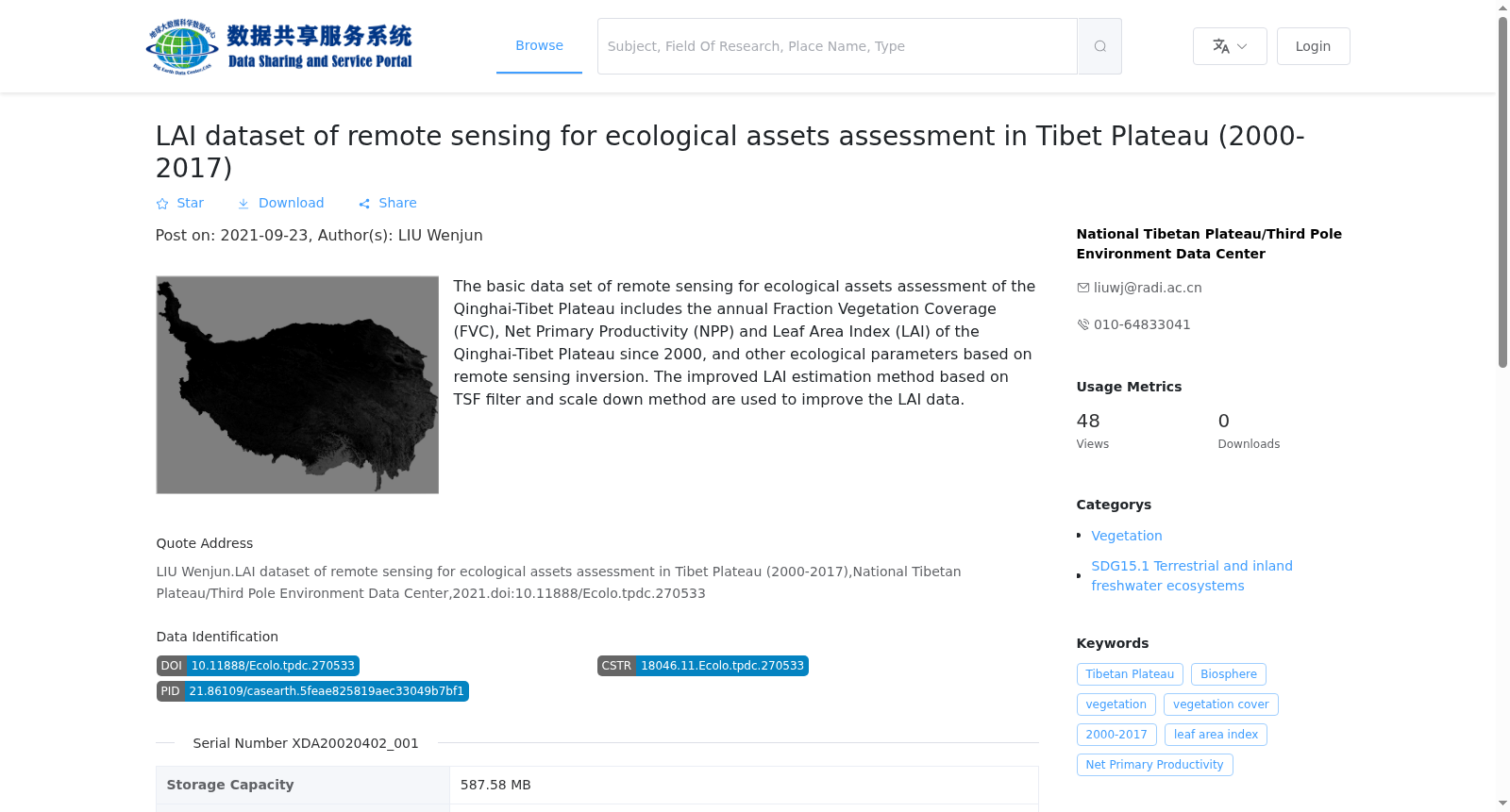
青藏高原生态资产评估遥感反演基础数据集包括了青藏高原自2000年起年度的植被覆盖度(FVC),净初级生产力(NPP)和叶面积指数(LAI)等基于遥感反演的生态参数,以供区域尺度生态资产评估研究使用。叶面积指数数据主要基于已有MODIS MCD15A2产品,通过基于TSF滤波的叶面积指数估算改进方法及尺度下推方法来完成。为了验证数据精度,在全国范围内均匀布设了746个样地,包括76个农田样点、47个草地样点、467个森林样点和156个灌木样点,均为在30米*30米样地内使用LAI-2000、LAI-2200或TRAC等专用设备获得。
The Basic Remote Sensing Retrieval Dataset for Ecological Asset Assessment on the Qinghai-Tibet Plateau contains annual remote sensing-derived ecological parameters, including Fractional Vegetation Cover (FVC), Net Primary Productivity (NPP), and Leaf Area Index (LAI), for the Qinghai-Tibet Plateau starting from 2000. This dataset is designed for regional-scale ecological asset assessment studies. The Leaf Area Index (LAI) data is primarily developed based on the existing MODIS MCD15A2 product, using improved LAI estimation methods based on TSF filtering and scale downscaling techniques. To verify the data accuracy, 746 sample plots were uniformly distributed across China, comprising 76 farmland sampling sites, 47 grassland sampling sites, 467 forest sampling sites, and 156 shrub sampling sites. All samples were collected within 30m×30m plots using specialized instruments such as LAI-2000, LAI-2200, or TRAC.
提供机构:
国家青藏高原科学数据中心
搜集汇总
数据集介绍
背景与挑战
背景概述
该数据集包含2000年至2017年青藏高原的年叶面积指数(LAI)、植被覆盖度(FVC)和净初级生产力(NPP)等生态参数,采用改进的TSF滤波和尺度下推方法优化LAI数据,适用于生态资产评估研究。数据时间分辨率为年,空间分辨率未明确说明,地理范围覆盖整个青藏高原。
以上内容由遇见数据集搜集并总结生成


