卫星遥感影像
收藏上海数据交易所2023-06-05 更新2026-03-21 收录
下载链接:
https://nidts.chinadep.com/reg-hall/product-detail?id=1409
下载链接
链接失效反馈官方服务:
资源简介:
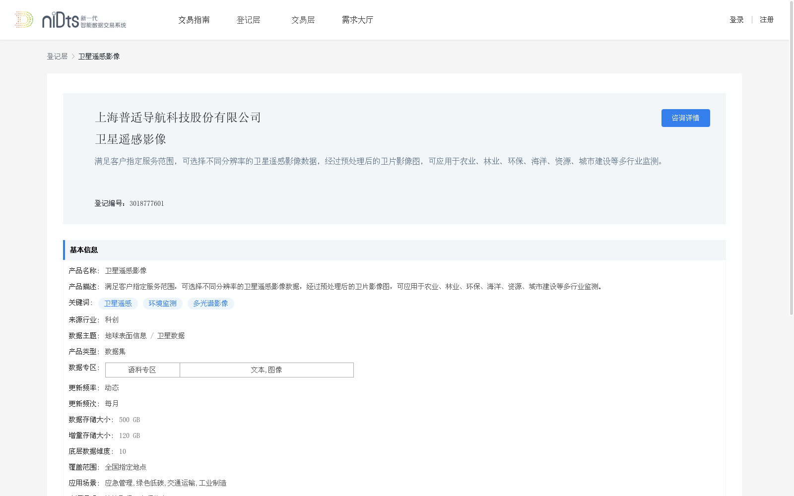
满足客户指定服务范围,可选择不同分辨率的卫星遥感影像数据,经过预处理后的卫片影像图,可应用于农业、林业、环保、海洋、资源、城市建设等多行业监测。
This dataset meets the customized service scopes designated by clients, providing preprocessed satellite remote sensing imagery data with selectable multi-resolution options, which can be applied to monitoring work across multiple industries including agriculture, forestry, environmental protection, oceanography, resource management and urban construction.
提供机构:
上海普适导航科技股份有限公司
创建时间:
2023-06-05
搜集汇总
数据集介绍
背景与挑战
背景概述
该数据集为卫星遥感影像数据,提供不同分辨率的预处理卫片影像图,适用于多行业监测,每月更新,覆盖全国指定地点,总存储量500GB。
以上内容由遇见数据集搜集并总结生成


