2000-2018年三江源区气象数据空间插值数据集
收藏国家生态科学数据中心2024-03-04 收录
下载链接:
http://www.nesdc.org.cn/sdo/detail?id=6139dbe27e28173dfbf05945
下载链接
链接失效反馈官方服务:
资源简介:
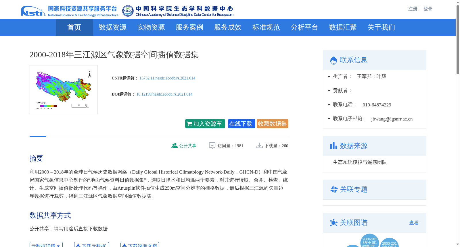
利用2000~2018年的全球日气候历史数据网络(Daily Global Historical Climatology Network-Daily,GHCN-D)和中国气象局国家气象信息中心制作的“地面气候资料日值数据集”,选取日降水和日均温两个要素,对其进行读取、合并、检查、统计、生成空间插值批处理代码等操作,由Anusplin软件插值生成250m空间分辨率的栅格数据,最后根据三江源的矢量边界数据进行裁剪,得到三江源区气象数据空间插值数据集。
This meteorological spatial interpolation dataset for the Three-River Source Region was constructed using two daily climate datasets spanning 2000 to 2018: the Daily Global Historical Climatology Network-Daily (GHCN-D) and the Daily Surface Climate Dataset developed by the National Meteorological Information Center (NMIC) of the China Meteorological Administration (CMA). Two core meteorological variables, daily precipitation and daily mean air temperature, were selected for processing. A set of standardized workflows including data ingestion, merging, quality control, statistical computation, and generation of batch processing codes for spatial interpolation were implemented. Subsequently, spatial interpolation was conducted using the Anusplin software to produce raster data with a spatial resolution of 250 meters. Finally, the raster products were clipped with the vector boundary data of the Three-River Source Region to obtain the final target dataset.
提供机构:
团队
创建时间:
2021-06-20
搜集汇总
数据集介绍
背景与挑战
背景概述
该数据集包含2000-2018年三江源区的日降水和日均温数据,通过Anusplin软件插值生成250m空间分辨率的栅格数据。数据来源于全球日气候历史数据网络和中国气象局的地面气候资料日值数据集,适用于生态学和气象学研究。
以上内容由遇见数据集搜集并总结生成


