西南喀斯特地区30m地貌类型数据集(2010年)
收藏资源简介:
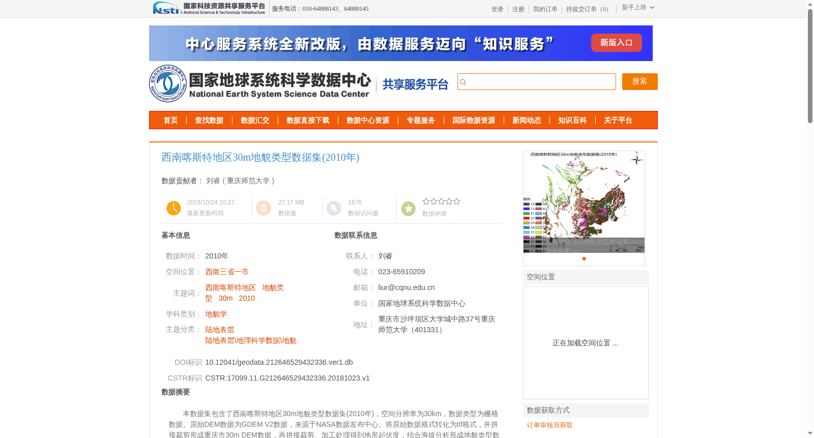
本数据集包含了西南喀斯特地区30m地貌类型数据集(2010年),空间分辨率为30km,数据类型为栅格数据。原始DEM数据为GDEM V2数据,来源于NASA数据发布中心。将原始数据格式转化为tif格式,并拼接裁剪形成重庆市30m DEM数据,再拼接裁剪、加工处理得到地形起伏度,结合海拔分析形成地貌类型数据,再利用西南喀斯特外边界,剪裁得到西南喀斯特30m地貌类型数据(2010年)。
This dataset refers to the 30m geomorphological type dataset (2010) of the Southwest Karst Region, which has a spatial resolution of 30 meters and uses raster data as its data type. The original DEM data is GDEM V2, sourced from the NASA Data Distribution Center. First, the format of the original data was converted to TIFF, then mosaicked and clipped to produce the 30m DEM data for Chongqing Municipality. Next, through further mosaicking, clipping and processing, topographic relief was derived. Combined with elevation analysis, geomorphological type data was generated. Finally, the dataset was clipped using the outer boundary of the Southwest Karst Region to obtain the final 30m geomorphological type dataset (2010) of the Southwest Karst Region.