
黄土高原250米分辨率土壤有机碳含量数据集
收藏官方服务:
资源简介:
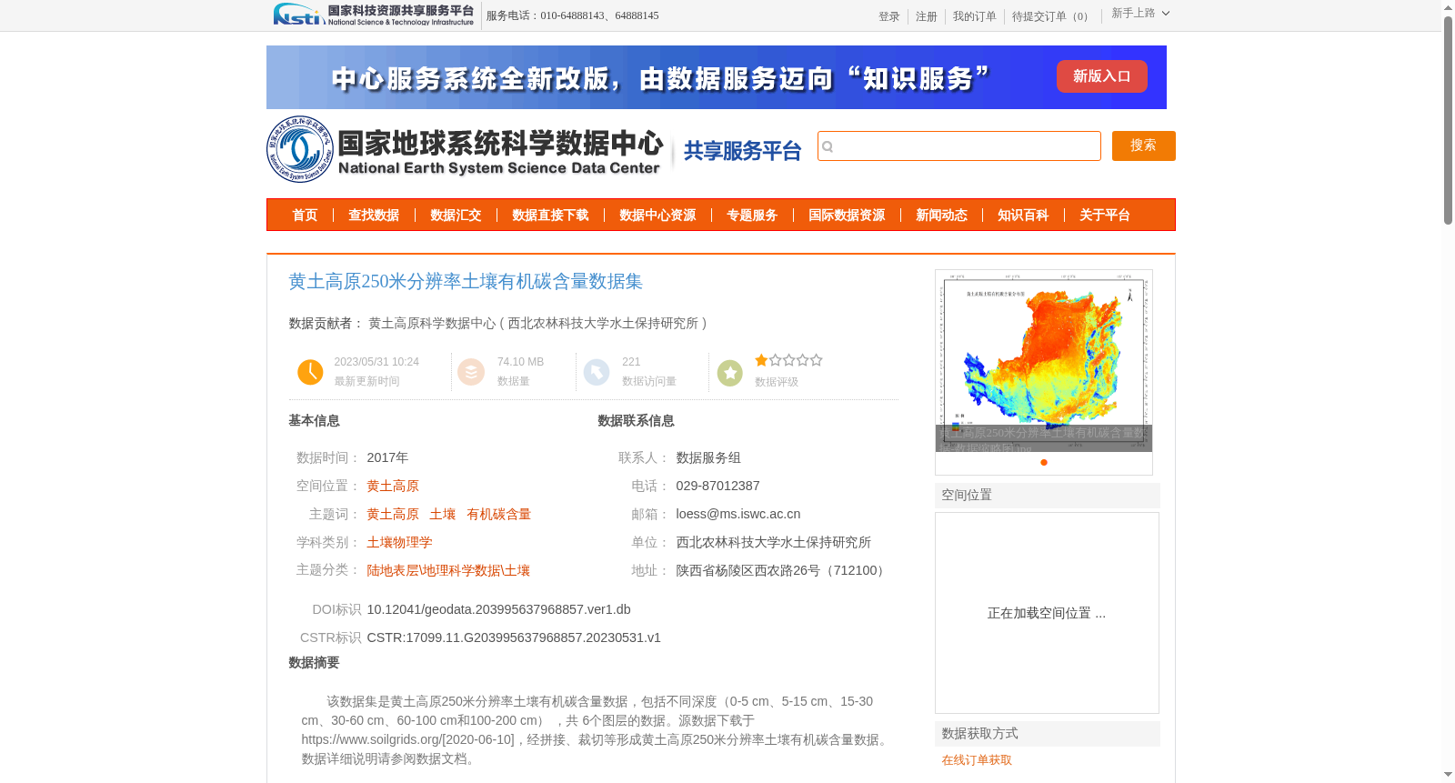
该数据集是黄土高原250米分辨率土壤有机碳含量数据,包括不同深度(0-5 cm、5-15 cm、15-30 cm、30-60 cm、60-100 cm和100-200 cm) ,共 6个图层的数据。源数据下载于https://www.soilgrids.org/[2020-06-10],经拼接、裁切等形成黄土高原250米分辨率土壤有机碳含量数据。数据详细说明请参阅数据文档。
This dataset is a 250-meter resolution soil organic carbon content dataset for the Loess Plateau, which includes data from six soil depth layers: 0-5 cm, 5-15 cm, 15-30 cm, 30-60 cm, 60-100 cm and 100-200 cm. The original source data was downloaded from https://www.soilgrids.org/ on 2020-06-10, and was processed through mosaic, clipping and other related operations to generate this dataset. For detailed specifications of the dataset, please refer to the accompanying data documentation.
提供机构:
西北农林科技大学水土保持研究所创建时间:
2023-05-31
搜集汇总
数据集介绍
背景与挑战
背景概述
该数据集提供了黄土高原地区250米分辨率的土壤有机碳含量数据,涵盖6个不同深度层次(0-200 cm),数据来源于soilgrids.org并经专业处理,适用于土壤科学和地理科学研究。
以上内容由遇见数据集搜集并总结生成


