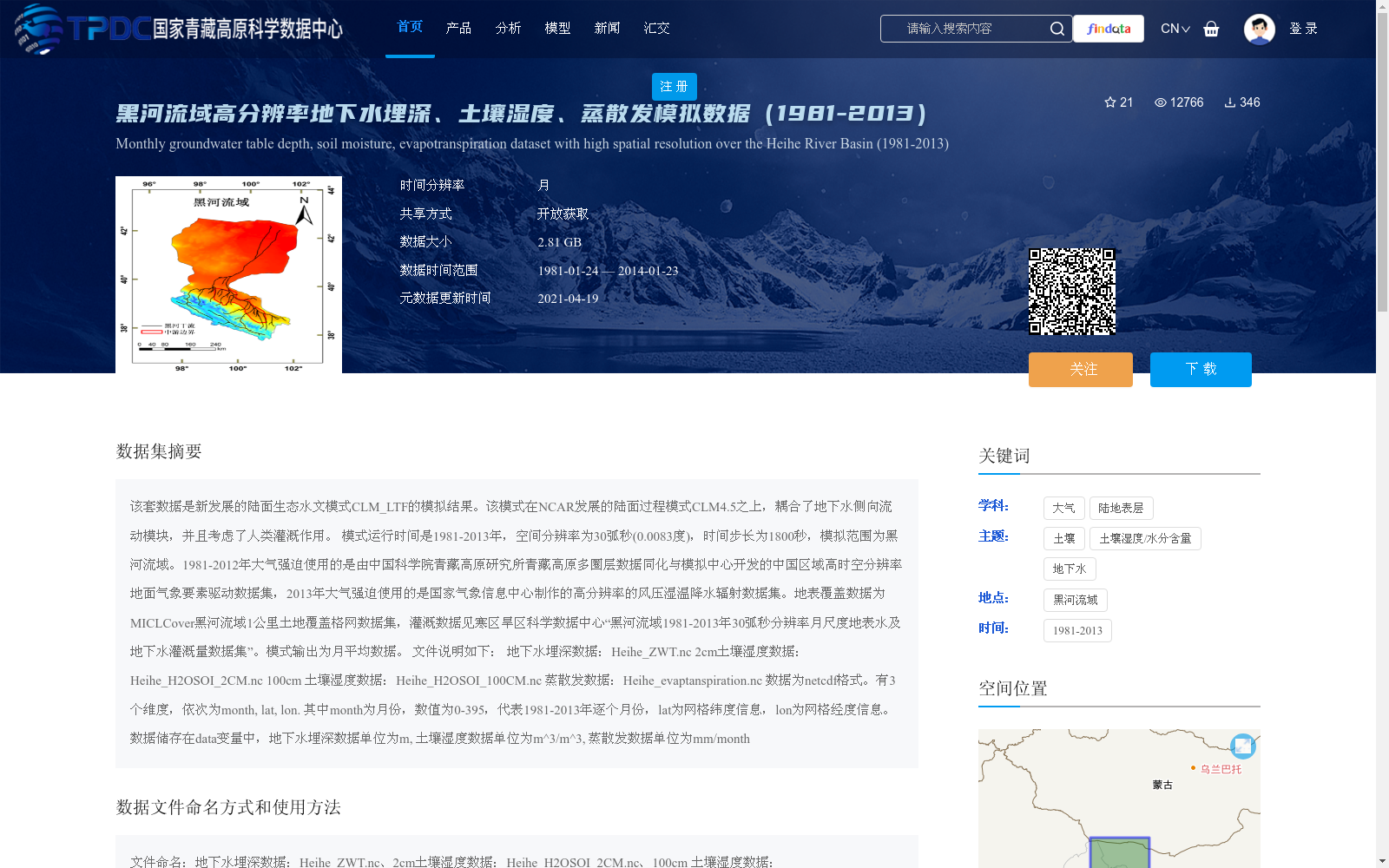
黑河流域高分辨率地下水埋深、土壤湿度、蒸散发模拟数据(1981-2013)
收藏国家青藏高原科学数据中心2021-04-19 更新2024-03-06 收录
下载链接:
https://data.tpdc.ac.cn/zh-hans/data/7b9b177c-2c07-491a-bbd8-78a5e84a12a4
下载链接
链接失效反馈官方服务:
资源简介:
该套数据是新发展的陆面生态水文模式CLM_LTF的模拟结果。该模式在NCAR发展的陆面过程模式CLM4.5之上,耦合了地下水侧向流动模块,并且考虑了人类灌溉作用。
模式运行时间是1981-2013年,空间分辨率为30弧秒(0.0083度),时间步长为1800秒,模拟范围为黑河流域。1981-2012年大气强迫使用的是由中国科学院青藏高原研究所青藏高原多圈层数据同化与模拟中心开发的中国区域高时空分辨率地面气象要素驱动数据集,2013年大气强迫使用的是国家气象信息中心制作的高分辨率的风压湿温降水辐射数据集。地表覆盖数据为MICLCover黑河流域1公里土地覆盖格网数据集,灌溉数据见寒区旱区科学数据中心“黑河流域1981-2013年30弧秒分辨率月尺度地表水及地下水灌溉量数据集”。模式输出为月平均数据。
文件说明如下:
地下水埋深数据:Heihe_ZWT.nc
2cm土壤湿度数据:Heihe_H2OSOI_2CM.nc
100cm 土壤湿度数据:Heihe_H2OSOI_100CM.nc
蒸散发数据:Heihe_evaptanspiration.nc
数据为netcdf格式。有3个维度,依次为month, lat, lon.
其中month为月份,数值为0-395,代表1981-2013年逐个月份,lat为网格纬度信息,lon为网格经度信息。
数据储存在data变量中,地下水埋深数据单位为m, 土壤湿度数据单位为m^3/m^3, 蒸散发数据单位为mm/month
This dataset presents simulation outputs from the newly developed land surface eco-hydrological model CLM_LTF. This model is built upon the Community Land Model CLM4.5 developed by the National Center for Atmospheric Research (NCAR), coupled with a groundwater lateral flow module and incorporates human irrigation effects.
The model was run over the period 1981–2013, with a spatial resolution of 30 arc-seconds (0.0083°), a time step of 1800 seconds, and the simulation domain covers the Heihe River Basin.
For atmospheric forcing data during 1981–2012, the high spatiotemporal resolution ground meteorological forcing dataset for China developed by the Multi-sphere Data Assimilation and Simulation Center for Tibetan Plateau, Institute of Tibetan Plateau Research, Chinese Academy of Sciences was utilized. For the year 2013, the high-resolution dataset including wind, pressure, humidity, air temperature, precipitation and radiation produced by the National Meteorological Information Center was adopted.
The land cover data is the MICLCover 1-kilometer land cover grid dataset for the Heihe River Basin. The irrigation dataset is the "Monthly-scale Surface and Groundwater Irrigation Volume Dataset for the Heihe River Basin (1981–2013, 30 arc-second resolution)" hosted by the Cold and Arid Regions Science Data Center.
The model outputs monthly-averaged simulation results.
Detailed file descriptions are listed below:
- Groundwater table depth data: Heihe_ZWT.nc
- 2 cm soil moisture data: Heihe_H2OSOI_2CM.nc
- 100 cm soil moisture data: Heihe_H2OSOI_100CM.nc
- Evapotranspiration data: Heihe_evaptanspiration.nc
All data are stored in netCDF format, with three dimensions in the following order: month, lat, and lon. Specifically, the `month` dimension corresponds to individual months from 1981 to 2013, with values ranging from 0 to 395; `lat` represents the grid latitude information, and `lon` represents the grid longitude information.
All simulation data are stored in the `data` variable. The unit of groundwater table depth data is meters (m); the unit of soil moisture data is cubic meters per cubic meter (m³/m³); and the unit of evapotranspiration data is millimeters per month (mm/month).
提供机构:
谢正辉
创建时间:
2017-11-23
搜集汇总
数据集介绍
背景与挑战
背景概述
该数据集是黑河流域1981-2013年月尺度高分辨率模拟数据,由CLM_LTF陆面生态水文模式生成,空间分辨率为30弧秒,包含地下水埋深、土壤湿度(2cm和100cm)和蒸散发四个变量,以netcdf格式存储。数据集基于中国区域高分辨率气象驱动数据,并耦合了地下水侧向流动和人类灌溉模块,适用于流域水文和生态过程研究。
以上内容由遇见数据集搜集并总结生成


