高亚洲地区雪水当量数据集(2002-2011)
收藏国家青藏高原科学数据中心2023-01-11 更新2024-03-07 收录
下载链接:
https://data.tpdc.ac.cn/zh-hans/data/578df7ea-1b2f-4e3e-b59a-74854a3c8b55
下载链接
链接失效反馈官方服务:
资源简介:
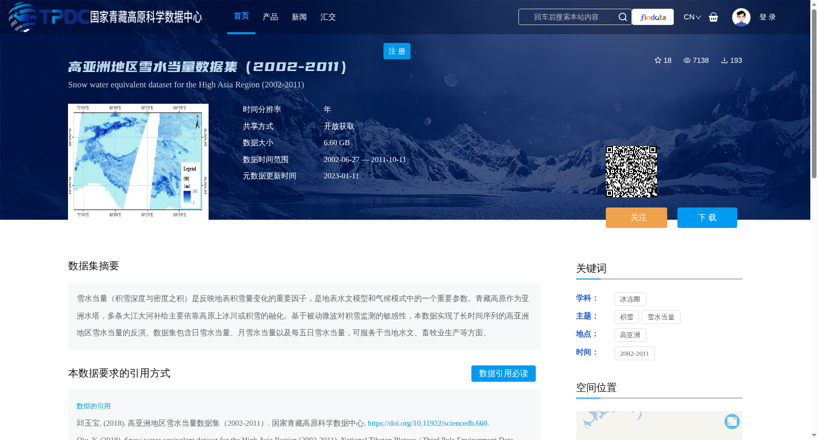
雪水当量(积雪深度与密度之积)是反映地表积雪量变化的重要因子,是地表水文模型和气候模式中的一个重要参数。青藏高原作为亚洲水塔,多条大江大河补给主要依靠高原上冰川或积雪的融化。基于被动微波对积雪监测的敏感性,本数据实现了长时间序列的高亚洲地区雪水当量的反演。数据集包含日雪水当量、月雪水当量以及每五日雪水当量,可服务于当地水文、畜牧业生产等方面。
Snow Water Equivalent (SWE, defined as the product of snow depth and snow density) is a key indicator reflecting variations in surface snow storage, and a critical parameter in surface hydrological models and climate models. As the "Asian Water Tower", the Tibetan Plateau is the primary water source for numerous major Asian rivers, whose runoff mainly depends on the melting of glaciers and snow cover on the plateau. Leveraging the high sensitivity of passive microwave remote sensing to snow monitoring, this dataset delivers long-time-series snow water equivalent retrievals over the High Asia region. The dataset contains daily, monthly, and pentad (5-day) snow water equivalent products, which can support applications including local hydrological studies and livestock husbandry production.
提供机构:
邱玉宝
创建时间:
2018-02-17
搜集汇总
数据集介绍
背景与挑战
背景概述
该数据集为高亚洲地区2002年至2011年的雪水当量数据,基于被动微波遥感技术反演,包含日、月和每五日分辨率的数据,总大小为6.60 GB。数据覆盖东经107°至西经67°、南纬25°至北纬45°的区域,旨在支持水文模型、气候研究和当地畜牧业生产,具有开放获取和长期序列的特点。
以上内容由遇见数据集搜集并总结生成


