四川省阿坝藏族羌族自治州松潘县2010年土地利用图
收藏国家林业和草原科学数据中心2013-09-29 更新2024-03-06 收录
下载链接:
https://www.forestdata.cn/dataDetail.html?id=CSTR:17575.11.0120210929011.010001.V1
下载链接
链接失效反馈官方服务:
资源简介:
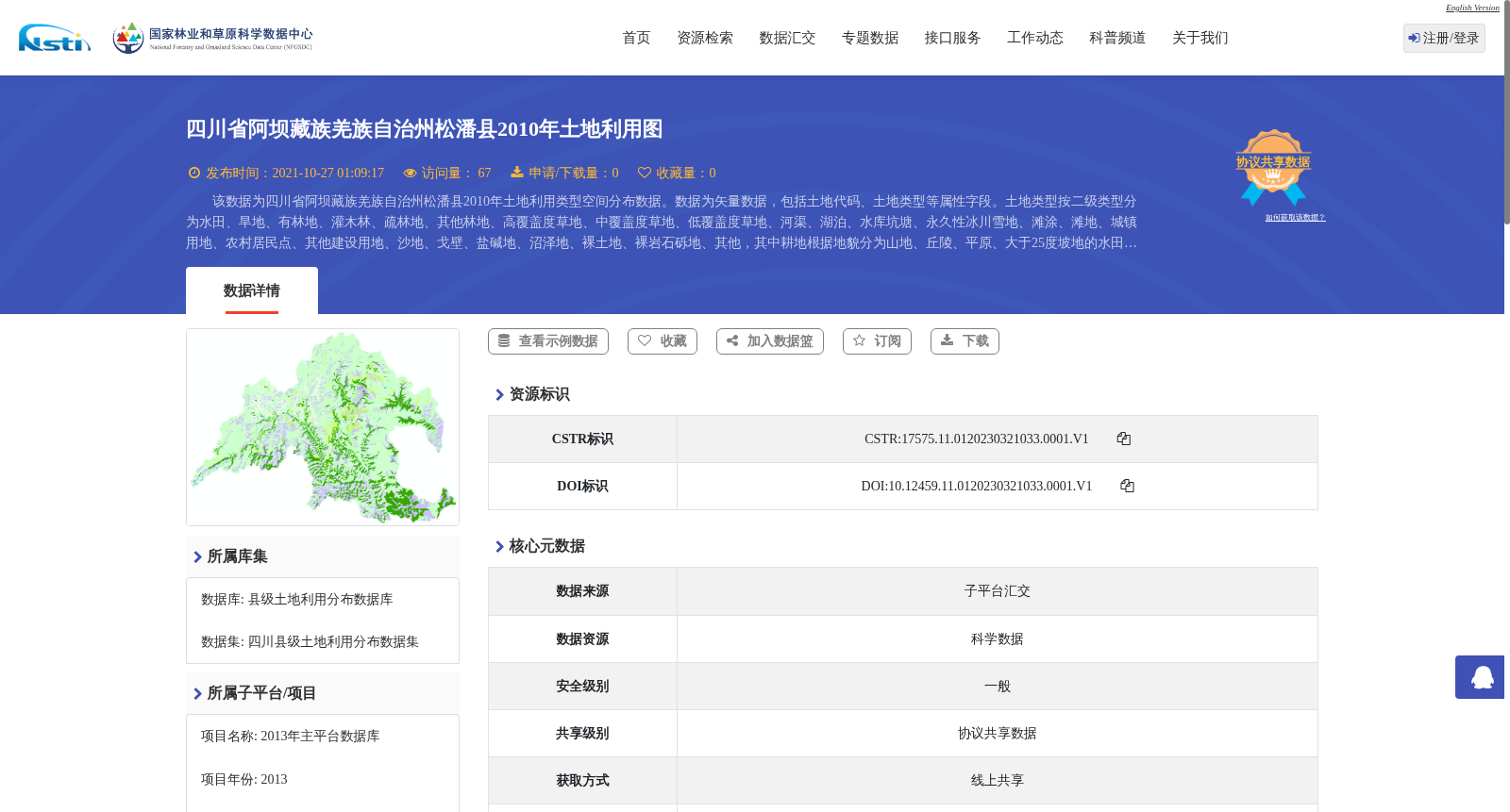
该数据为四川省阿坝藏族羌族自治州松潘县2010年土地利用类型空间分布数据。数据为矢量数据,包括土地代码、土地类型等属性字段。土地类型按二级类型分为水田、旱地、有林地、灌木林、疏林地、其他林地、高覆盖度草地、中覆盖度草地、低覆盖度草地、河渠、湖泊、水库坑塘、永久性冰川雪地、滩涂、滩地、城镇用地、农村居民点、其他建设用地、沙地、戈壁、盐碱地、沼泽地、裸土地、裸岩石砾地、其他,其中耕地根据地貌分为山地、丘陵、平原、大于25度坡地的水田和旱地。数据比例尺为1:10万。
This dataset depicts the spatial distribution of land use types in Songpan County, Ngawa Tibetan and Qiang Autonomous Prefecture, Sichuan Province, China, for the year 2010. It is a vector dataset with attribute fields including land code, land type and others. The land types are classified at the secondary level into paddy fields, dry lands, closed forest lands, shrub lands, sparse forest lands, other forest lands, high-coverage grasslands, medium-coverage grasslands, low-coverage grasslands, rivers and canals, lakes, reservoirs and ponds, permanent glaciers and snow-covered areas, tidal flats, river floodplains, urban lands, rural residential areas, other construction lands, sandy lands, Gobi, saline-alkali lands, swamp lands, bare lands, bare rock and gravel lands, and others. Among these land types, cultivated lands are categorized based on landforms into paddy fields and dry lands in mountainous areas, hilly areas, plain areas, and on slopes with a gradient greater than 25 degrees. The map scale of this dataset is 1:100,000.
提供机构:
国家林业和草原科学数据中心
创建时间:
2013-09-29
搜集汇总
数据集介绍
背景与挑战
背景概述
该数据集为四川省阿坝藏族羌族自治州松潘县2010年的土地利用类型空间分布数据,包含多种土地类型的详细分类,数据质量高,适用于土地利用研究和规划。
以上内容由遇见数据集搜集并总结生成


