WHU-CD数据集(未经网站修改)
收藏极市2025-11-13 更新2025-11-15 收录
下载链接:
https://www.cvmart.net/dataSets/detail/1384
下载链接
链接失效反馈官方服务:
资源简介:
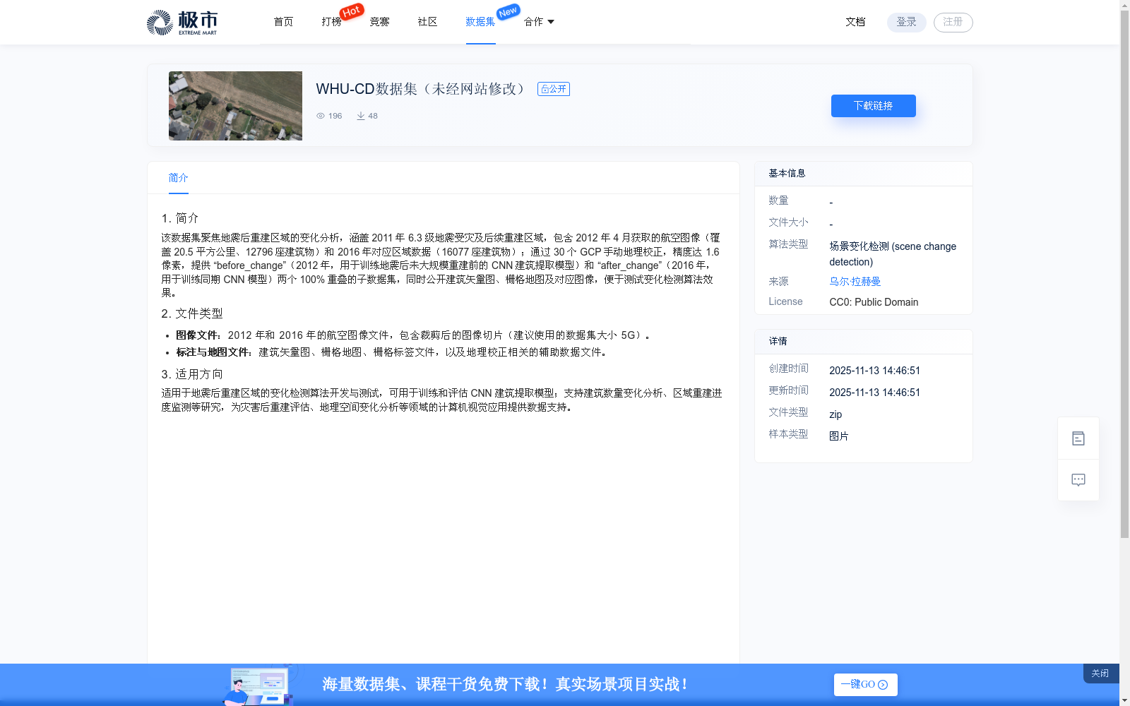
1. 简介该数据集聚焦地震后重建区域的变化分析,涵盖 2011 年 6.3 级地震受灾及后续重建区域,包含 2012 年 4 月获取的航空图像(覆盖 20.5 平方公里、12796 座建筑物)和 2016 年对应区域数据(16077 座建筑物);通过 30 个 GCP 手动地理校正,精度达 1.6 像素,提供 “before_change”(2012 年,用于训练地震后未大规模重建前的 CNN 建筑提取模型)和 “after_change”(2016 年,用于训练同期 CNN 模型)两个 100% 重叠的子数据集,同时公开建筑矢量图、栅格地图及对应图像,便于测试变化检测算法效果
1. Dataset Overview: This dataset focuses on change analysis of post-earthquake reconstruction areas, covering regions affected by the 2011 Mw 6.3 earthquake and their subsequent post-disaster reconstruction zones. It includes aerial imagery acquired in April 2012 (spanning 20.5 square kilometers, with 12,796 buildings) and corresponding regional data from 2016 (covering 16,077 buildings). All imagery was manually georectified using 30 Ground Control Points (GCPs), achieving a positional accuracy of 1.6 pixels. The dataset provides two fully overlapping sub-datasets named "before_change" (from 2012, used for training CNN-based building extraction models prior to large-scale post-earthquake reconstruction) and "after_change" (from 2016, used for training concurrent CNN models). Additionally, building vector maps, raster maps, and their corresponding imagery are publicly released to facilitate the evaluation of change detection algorithms.
提供机构:
极市
搜集汇总
数据集介绍
背景与挑战
背景概述
WHU-CD数据集包含2012年和2016年地震受灾及重建区域的航空图像与建筑数据,用于训练CNN建筑提取模型和变化检测算法开发,支持地震后重建评估和地理空间变化分析研究。
以上内容由遇见数据集搜集并总结生成


