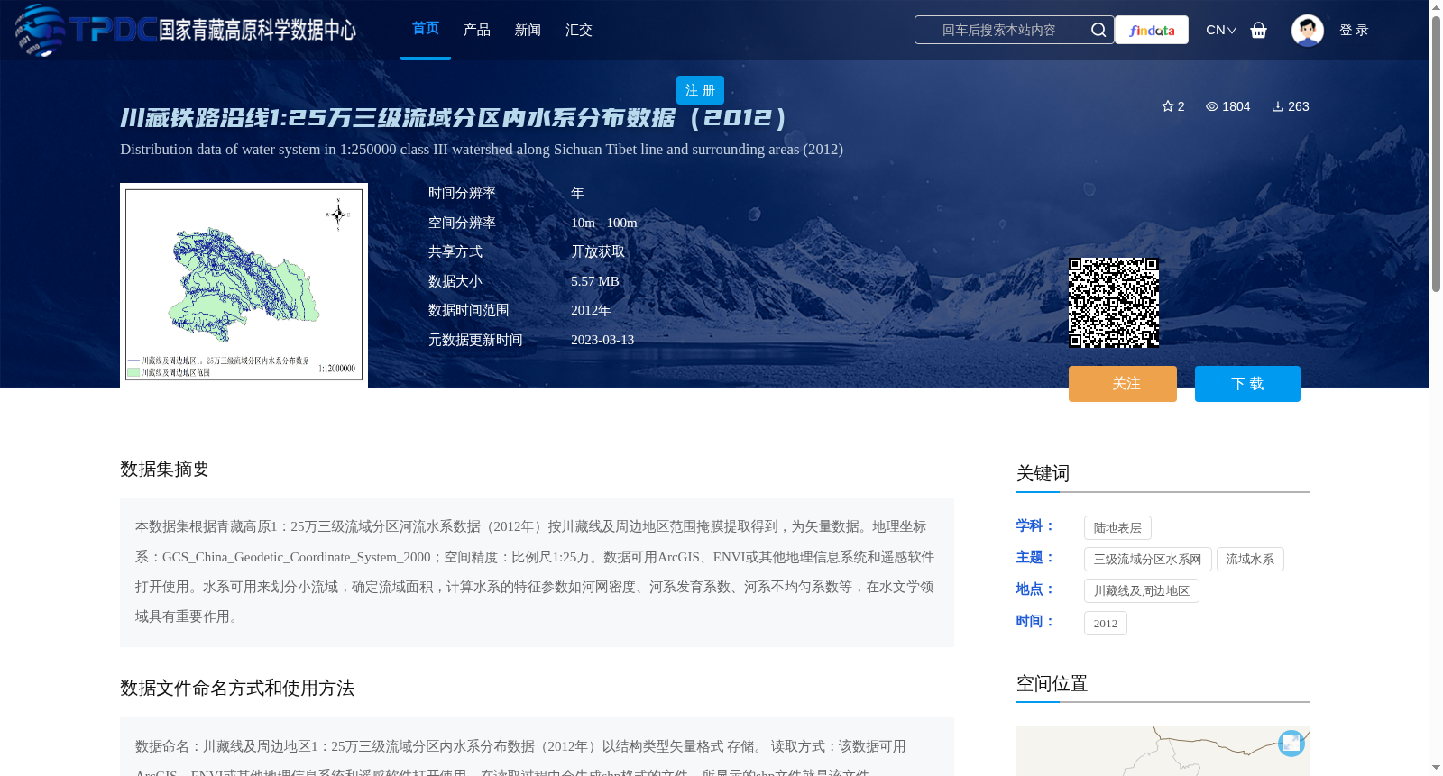
川藏铁路沿线1:25万三级流域分区内水系分布数据(2012)
收藏资源简介:
本数据集根据青藏高原1:25万三级流域分区河流水系数据(2012年)按川藏线及周边地区范围掩膜提取得到,为矢量数据。地理坐标系:GCS_China_Geodetic_Coordinate_System_2000;空间精度:比例尺1:25万。数据可用ArcGIS、ENVI或其他地理信息系统和遥感软件打开使用。水系可用来划分小流域,确定流域面积,计算水系的特征参数如河网密度、河系发育系数、河系不均匀系数等,在水文学领域具有重要作用。
This is a vector dataset extracted from the 2012 1:250,000 third-level watershed partition river system data of the Qinghai-Tibet Plateau via masking based on the spatial extent of the Sichuan-Tibet Line and its surrounding areas. Geographic coordinate system: GCS_China_Geodetic_Coordinate_System_2000; Spatial accuracy: 1:250,000 scale. This dataset can be opened and utilized with ArcGIS, ENVI, or other geographic information system and remote sensing software. The river system data can be used to divide small watersheds, determine watershed areas, and calculate characteristic parameters of the river system such as river network density, river system development coefficient, river system unevenness coefficient, etc., which plays an important role in the field of hydrology.