2024年内涝监测数据集
收藏资源简介:
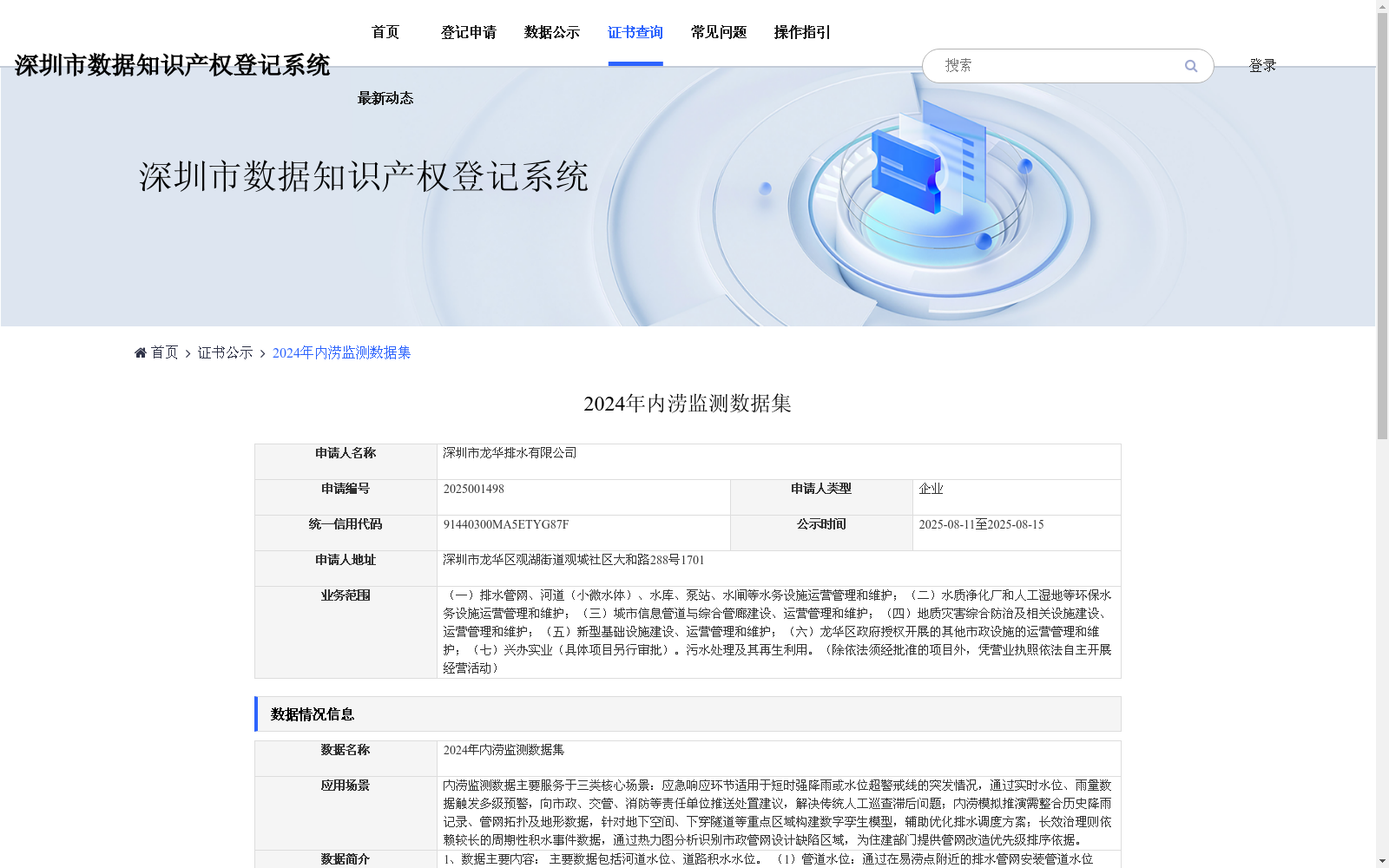
内涝监测数据主要服务于三类核心场景:应急响应环节适用于短时强降雨或水位超警戒线的突发情况,通过实时水位、雨量数据触发多级预警,向市政、交管、消防等责任单位推送处置建议,解决传统人工巡查滞后问题;内涝模拟推演需整合历史降雨记录、管网拓扑及地形数据,针对地下空间、下穿隧道等重点区域构建数字孪生模型,辅助优化排水调度方案;长效治理则依赖较长的周期性积水事件数据,通过热力图分析识别市政管网设计缺陷区域,为住建部门提供管网改造优先级排序依据。
Urban waterlogging monitoring data primarily serves three core application scenarios. For emergency response, which applies to sudden emergencies such as short-duration heavy rainfall or water levels exceeding warning thresholds, the data triggers multi-level early warnings via real-time water level and rainfall measurements, sends disposal recommendations to responsible entities including municipal authorities, traffic management departments, and fire rescue teams, and resolves the lag inherent in traditional manual patrols. For urban waterlogging simulation and deduction, the data requires integrating historical rainfall records, pipeline network topology, and topographic data to construct digital twin models for key areas such as underground spaces and underpass tunnels, assisting in optimizing drainage scheduling plans. For long-term governance, the data relies on long-term periodic waterlogging event datasets, identifies areas with design defects in municipal pipeline networks through heatmap analysis, and provides a basis for prioritizing pipeline network renovation for housing and urban-rural construction authorities.