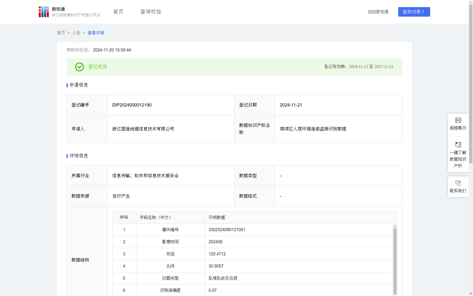
南浔区人居环境遥感监测识别数据
收藏浙江省数据知识产权登记平台2024-11-20 更新2024-11-21 收录
下载链接:
https://www.zjip.org.cn/home/announce/trends/86987
下载链接
链接失效反馈官方服务:
资源简介:
用于实现对南浔区人居环境遥感监测中问题点位的高效精准识别,包括地面垃圾存放、建筑材料堆积等垃圾不合理不规范等现象。自动识别问题点位的坐标,便于确定需要进行实地处理的位置。自动识别点位问题类型,精准发现乱堆乱放及垃圾。为后续的人员管理与问题派发提供方便,有利于网格员及时掌握自己管理区域的情况。解决了网格员在传统人工巡查中难以发现问题,容易忽略问题,巡查范围太大,隐蔽地段、偏远地区与恶劣环境中不易巡查等问题。将系统识别出的问题点位派发给网格员,使网格员有依据、有目标的实地确认,极大的提高了发现问题的效率,节约人员时间与人工成本,避免网格员出现无效的巡查。基于无人机航拍采集的人居环境遥感影像数据,通过YOLO算法进行实时目标检测。首先将单元神经网络应用于2024年9月的遥感影像,将图像分割成19x19的单元格,每个单元神经网络负责预测K个单元格。预测每个区域的概率,所有单元格上具有最大概率的类被选择并分配给特定的网格单元,生成预测点坐标(x,y),坐标系为CGCS2000,坐标为东经、北纬。
在预测类概率后,进行NMS运算,来消除不必要的锚点。算法识别下一个最高类别概率的边界框,并进行相同的运算过程,直到剩下所有不同的边界框。算法输出所需的要素,并显示各个类的边界框的细节。
抽取部分样本进行识别准确度验证,小于0.6视为识别错误,显示为FALSE;一般样本的识别准确度在0.8至1之间,视为识别正确,显示为TRUE。通过判断结果正确或错误来纳入或排除数据,将识别正确的点位进行人居环境问题类型划分,包括乱堆乱放及垃圾与其他人居环境问题。最后将纳入的点位坐标、问题类型等信息自动上传至人居环境智能监管平台,获得人居环境遥感监测识别数据。
This dataset is designed for efficient and accurate identification of problematic spots in remote sensing monitoring of human settlements in Nanxun District, covering irregular and non-standard waste disposal phenomena such as ground garbage storage and construction material accumulation. It automatically identifies the coordinates of problematic spots to facilitate the determination of locations requiring on-site handling, and recognizes the types of issues at these spots to accurately detect unauthorized storage and waste. It provides convenience for subsequent personnel management and issue assignment, enabling grid managers to timely grasp the situation of their managed areas.
It solves the problems faced by grid managers in traditional manual inspections, such as difficulty in detecting issues, tendency to overlook problems, overly large inspection scope, and challenges in inspecting hidden, remote areas and harsh environments. Assigning the problematic spots identified by the system to grid managers allows them to conduct on-site inspection with clear basis and objectives, greatly improving the efficiency of problem detection, saving labor time and costs, and eliminating ineffective inspections by grid managers.
Based on remote sensing image data of human settlements collected via UAV aerial photography, real-time object detection is performed using the YOLO algorithm. First, the grid neural network is applied to the remote sensing images from September 2024, where the image is divided into 19×19 grid cells, and each grid cell is responsible for predicting K bounding boxes. It predicts class probabilities for each region, and the class with the highest probability across all grid cells is selected and assigned to a specific grid cell, generating the predicted spot coordinates (x, y) in the CGCS2000 coordinate system (longitude east, latitude north).
After predicting the class probabilities, Non-Maximum Suppression (NMS) is performed to eliminate redundant anchor boxes. The algorithm identifies the bounding box with the next highest class probability and repeats the same process until all distinct bounding boxes remain. The algorithm outputs the required elements and displays the details of the bounding boxes for each class.
Some samples are selected for recognition accuracy validation: confidence scores lower than 0.6 are classified as recognition errors and marked as FALSE; samples with recognition confidence scores between 0.8 and 1 are classified as correctly recognized and marked as TRUE. Data is included or excluded based on whether the recognition result is correct or incorrect. Correctly recognized spots are classified into types of human settlement issues, including unauthorized storage, waste, and other human settlement problems.
Finally, information such as the coordinates of included spots and their issue types is automatically uploaded to the intelligent supervision platform for human settlements, generating the remote sensing monitoring and recognition data for human settlements.
提供机构:
浙江国遥地理信息技术有限公司
创建时间:
2024-10-21
搜集汇总
数据集介绍
特点
该数据集为南浔区人居环境遥感监测识别数据,包含529条记录,每季度更新,用于高效精准识别地面垃圾存放、建筑材料堆积等问题点位。数据通过YOLO算法进行实时目标检测,并应用于人居环境智能监管平台。
以上内容由遇见数据集搜集并总结生成


