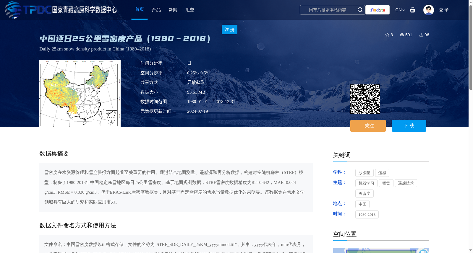
中国逐日25公里雪密度产品(1980–2018)
收藏资源简介:
雪密度在水资源管理和雪崩警报方面起着至关重要的作用。通过结合地面测量、遥感源和再分析数据,构建时空随机森林(STRF)模型,制备了1980-2018年中国稳定积雪地区每日25公里雪密度。基于地面观测数据,STRF雪密度数据精度为R2=0.642,MAE=0.024 g/cm3, RMSE = 0.036 g/cm3,优于ERA5-Land雪密度数据集,且对基于固定雪密度的雪水当量数据优化效果明显。该数据集在雪水文学领域具有巨大的研究和实际应用潜力。
Snow density plays a critical role in water resources management and avalanche warning. By integrating in-situ measurements, remote sensing sources and reanalysis data, a Spatio-Temporal Random Forest (STRF) model was constructed to generate a daily 25-kilometer snow density dataset over the stable snow-covered regions of China from 1980 to 2018. Evaluated against in-situ observation data, the STRF-derived snow density dataset achieves an R² of 0.642, a Mean Absolute Error (MAE) of 0.024 g/cm³, and a Root Mean Square Error (RMSE) of 0.036 g/cm³. It outperforms the ERA5-Land snow density dataset, and yields notable optimization effects on snow water equivalent data based on fixed snow density values. This dataset possesses considerable research and practical application potential in the field of snow hydrology.