帕里土壤温湿度观测网数据(2015-2021)
收藏国家青藏高原科学数据中心2024-02-06 更新2024-03-01 收录
下载链接:
https://data.tpdc.ac.cn/zh-hans/data/39dcce47-c127-4ed3-9957-a2a7584a1ae3
下载链接
链接失效反馈官方服务:
资源简介:
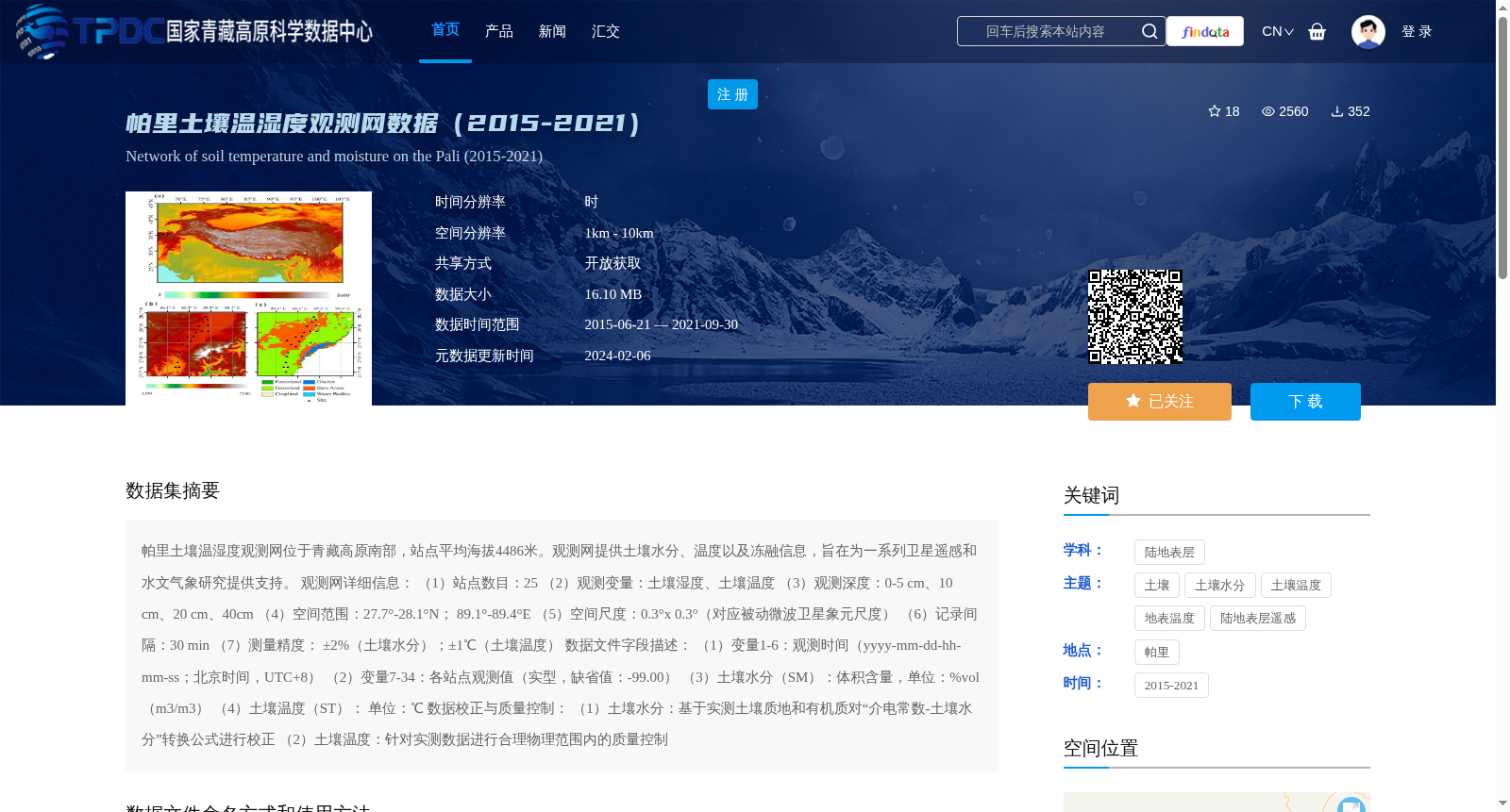
帕里土壤温湿度观测网位于青藏高原南部,站点平均海拔4486米。观测网提供土壤水分、温度以及冻融信息,旨在为一系列卫星遥感和水文气象研究提供支持。
观测网详细信息:
(1)站点数目:25
(2)观测变量:土壤湿度、土壤温度
(3)观测深度:0-5 cm、10 cm、20 cm、40cm
(4)空间范围:27.7°-28.1°N; 89.1°-89.4°E
(5)空间尺度:0.3°x 0.3°(对应被动微波卫星象元尺度)
(6)记录间隔:30 min
(7)测量精度: ±2%(土壤水分);±1℃(土壤温度)
数据文件字段描述:
(1)变量1-6:观测时间(yyyy-mm-dd-hh-mm-ss;北京时间,UTC+8)
(2)变量7-34:各站点观测值(实型,缺省值:-99.00)
(3)土壤水分(SM):体积含量,单位:%vol(m3/m3)
(4)土壤温度(ST): 单位:℃
数据校正与质量控制:
(1)土壤水分:基于实测土壤质地和有机质对“介电常数-土壤水分”转换公式进行校正
(2)土壤温度:针对实测数据进行合理物理范围内的质量控制
The Pali Soil Temperature and Moisture Observation Network is located in the southern Tibetan Plateau, with an average station elevation of 4486 meters. It provides soil moisture, soil temperature and freeze-thaw information, aiming to support a series of satellite remote sensing and hydro-meteorological research.
Detailed information of the observation network:
(1) Number of stations: 25
(2) Observed variables: soil moisture, soil temperature
(3) Observation depths: 0-5 cm, 10 cm, 20 cm, 40 cm
(4) Spatial scope: 27.7°-28.1°N; 89.1°-89.4°E
(5) Spatial scale: 0.3°×0.3° (corresponding to the pixel scale of passive microwave satellites)
(6) Recording interval: 30 min
(7) Measurement accuracy: ±2% (soil moisture); ±1℃ (soil temperature)
Description of data file fields:
(1) Variables 1-6: Observation time (yyyy-mm-dd-hh-mm-ss; Beijing Time, UTC+8)
(2) Variables 7-34: Observation values from each station (real floating-point type, default value: -99.00)
(3) Soil Moisture (SM): volumetric content, unit: %vol (m³/m³)
(4) Soil Temperature (ST): unit: ℃
Data correction and quality control:
(1) Soil moisture: The "dielectric constant-soil moisture" conversion formula is corrected based on measured soil texture and organic matter content
(2) Soil temperature: Quality control within a reasonable physical range is conducted for the measured data
提供机构:
阳坤,陈莹莹,赵龙,秦军,拉珠,周旭,姜尧志,田佳鑫
创建时间:
2022-05-23
搜集汇总
数据集介绍
背景与挑战
背景概述
该数据集提供了青藏高原南部帕里地区2015至2021年的土壤温湿度观测数据,包含25个站点的土壤湿度和温度信息,观测深度为0-5 cm至40 cm,时间分辨率为30分钟,空间分辨率为1km - 10km。数据旨在支持卫星遥感和水文气象研究,具有较高的测量精度(土壤水分±2%,土壤温度±1℃)。
以上内容由遇见数据集搜集并总结生成


