
Global Available Soil Phosphorus Database
收藏DataCite Commons2025-10-23 更新2025-05-07 收录
下载链接:
https://figshare.com/articles/dataset/Global_Available_Soil_Phosphorus_Database/14241854/3
下载链接
链接失效反馈官方服务:
资源简介:
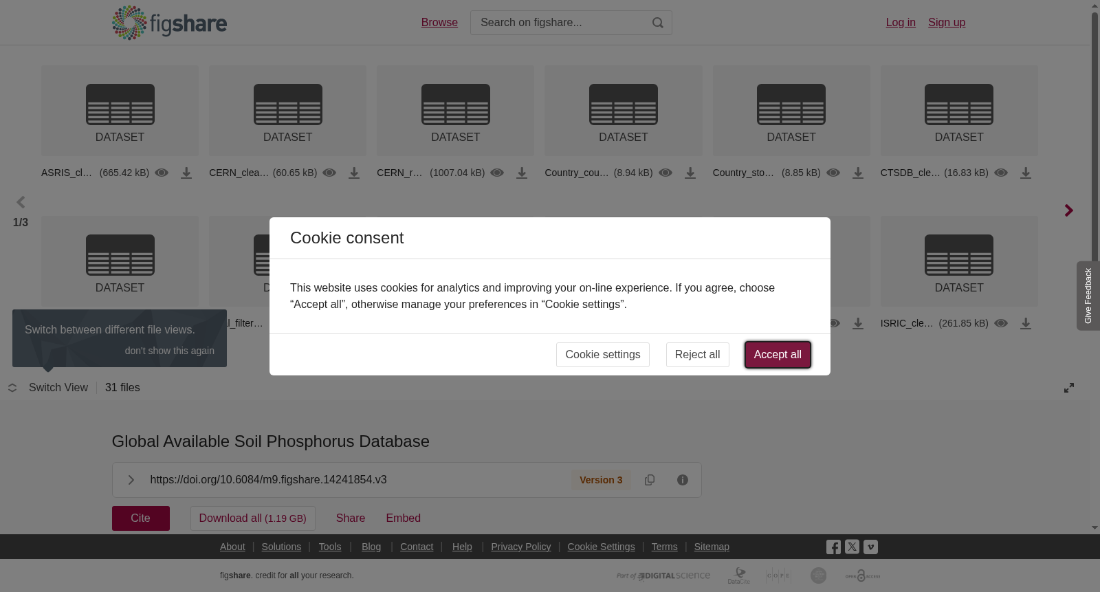
Raw, filtered and processed data for global soil Olsen P estimates. Code for GIS filtering and R modelling is also included along with a tif file of the global Olsen P concentrations. Please note that the tif file cannot be opened in a picture viewer. Instead it must be opend in GIS software like ArcGIS. Note that the raster is a metric projection (<b>World_Cylindrical_Equal_Area) </b>in Northing, Easting, and Meters.<br>The file LU_mask_World.tif contains land use data using the following nomeclature: 1 : cropland 2 : non-productive 3 : rangeland 4 : forest 5 : improved grassland. The Olsen P map can be used to calculate Olsen P in mg/kg assuming a bulk density and appropriate soil sampling depth to a location. It is currently presented to deliver a concentration in mg/kg for a 20-cm depth (cropland) and bulk density of 1 g/cm3. Alterations should be made for different bulk densities and sampling depths (e.g., 10-cm for grassland).
用于全球土壤有效磷(Olsen P)估算的原始、经筛选与预处理的数据。本数据集同步提供GIS空间筛选与R语言建模代码,以及全球土壤有效磷(Olsen P)浓度的TIFF格式栅格文件。请注意,该TIFF文件无法通过普通图片查看器打开,需在ArcGIS等地理信息系统(GIS)软件中加载使用。该栅格数据采用米制投影,投影坐标系为<b>World_Cylindrical_Equal_Area</b>,坐标单位为米,采用北距、东距编码方式。<br>文件LU_mask_World.tif包含土地利用数据,其分类命名规则如下:1 代表耕地,2 代表非生产用地,3 代表牧场,4 代表林地,5 代表改良草地。<br>该土壤有效磷(Olsen P)分布图可结合容重与目标点位的适宜土壤采样深度,用于计算点位的Olsen P含量(单位:mg/kg)。当前版本默认以耕地20厘米耕层、容重1 g/cm³为基准,输出单位为mg/kg的浓度值。若需适配不同容重或采样深度(如草地采用10厘米采样深度),需对数据进行相应调整。
提供机构:
figshare
创建时间:
2025-01-31
搜集汇总
数据集介绍
背景与挑战
背景概述
该数据集提供了全球土壤Olsen磷的估计数据,包括原始、过滤和处理后的数据,以及用于GIS和R建模的代码。数据集还包含一个全球Olsen磷浓度的tif文件和土地利用数据,适用于土壤化学和环境管理研究。
以上内容由遇见数据集搜集并总结生成



