全国10km2以上湖泊流域范围数据集(2020年)
收藏国家地球系统科学数据中心2024-01-22 更新2024-03-04 收录
下载链接:
https://www.geodata.cn/data/datadetails.html?dataguid=206205907822848&docId=4023
下载链接
链接失效反馈官方服务:
资源简介:
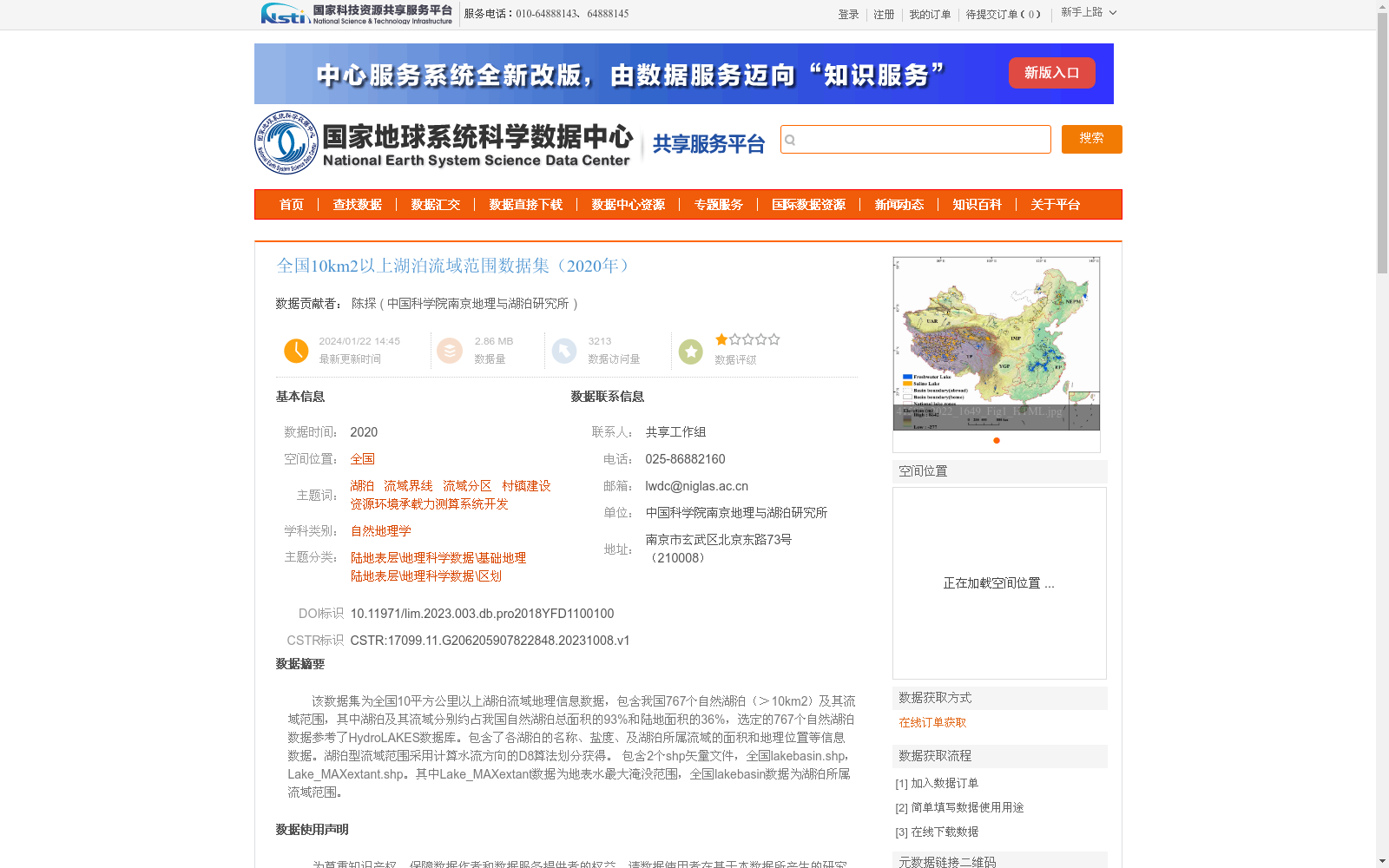
该数据集为全国10平方公里以上湖泊流域地理信息数据,包含我国767个自然湖泊(>10km2)及其流域范围,其中湖泊及其流域分别约占我国自然湖泊总面积的93%和陆地面积的36%,选定的767个自然湖泊数据参考了HydroLAKES数据库。包含了各湖泊的名称、盐度、及湖泊所属流域的面积和地理位置等信息数据。湖泊型流域范围采用计算水流方向的D8算法划分获得。
包含2个shp矢量文件,全国lakebasin.shp,Lake_MAXextant.shp。其中Lake_MAXextant数据为地表水最大淹没范围,全国lakebasin数据为湖泊所属流域范围。
This dataset provides geographic information data for the basins of natural lakes in China with an area greater than 10 km². It includes 767 natural lakes (>10 km²) and their corresponding basin extents across the country. The selected lakes and their basins account for approximately 93% of the total area of China's natural lakes and 36% of China's terrestrial land area, respectively. The data for these 767 selected natural lakes is referenced from the HydroLAKES database.
The dataset contains information such as the name and salinity of each lake, as well as the area and geographic location of the basin to which each lake belongs. The extents of the lake basins were delineated using the D8 algorithm for calculating flow direction.
Two Shapefile (SHP) vector files are included: national lakebasin.shp and Lake_MAXextant.shp. Specifically, the Lake_MAXextant dataset represents the maximum submerged extent of surface water nationwide, while the national lakebasin dataset contains the basin extents of the selected lakes.
提供机构:
中国科学院南京地理与湖泊研究所
创建时间:
2023-10-08
搜集汇总
数据集介绍
背景与挑战
背景概述
该数据集是2020年全国10平方公里以上湖泊流域的地理信息数据,涵盖767个自然湖泊及其流域范围,占中国自然湖泊总面积的93%和陆地面积的36%,提供湖泊名称、盐度、流域面积等详细信息。数据采用D8算法划分流域,包含湖泊流域范围和最大淹没范围两个矢量文件,适用于自然地理学和资源环境研究。
以上内容由遇见数据集搜集并总结生成


