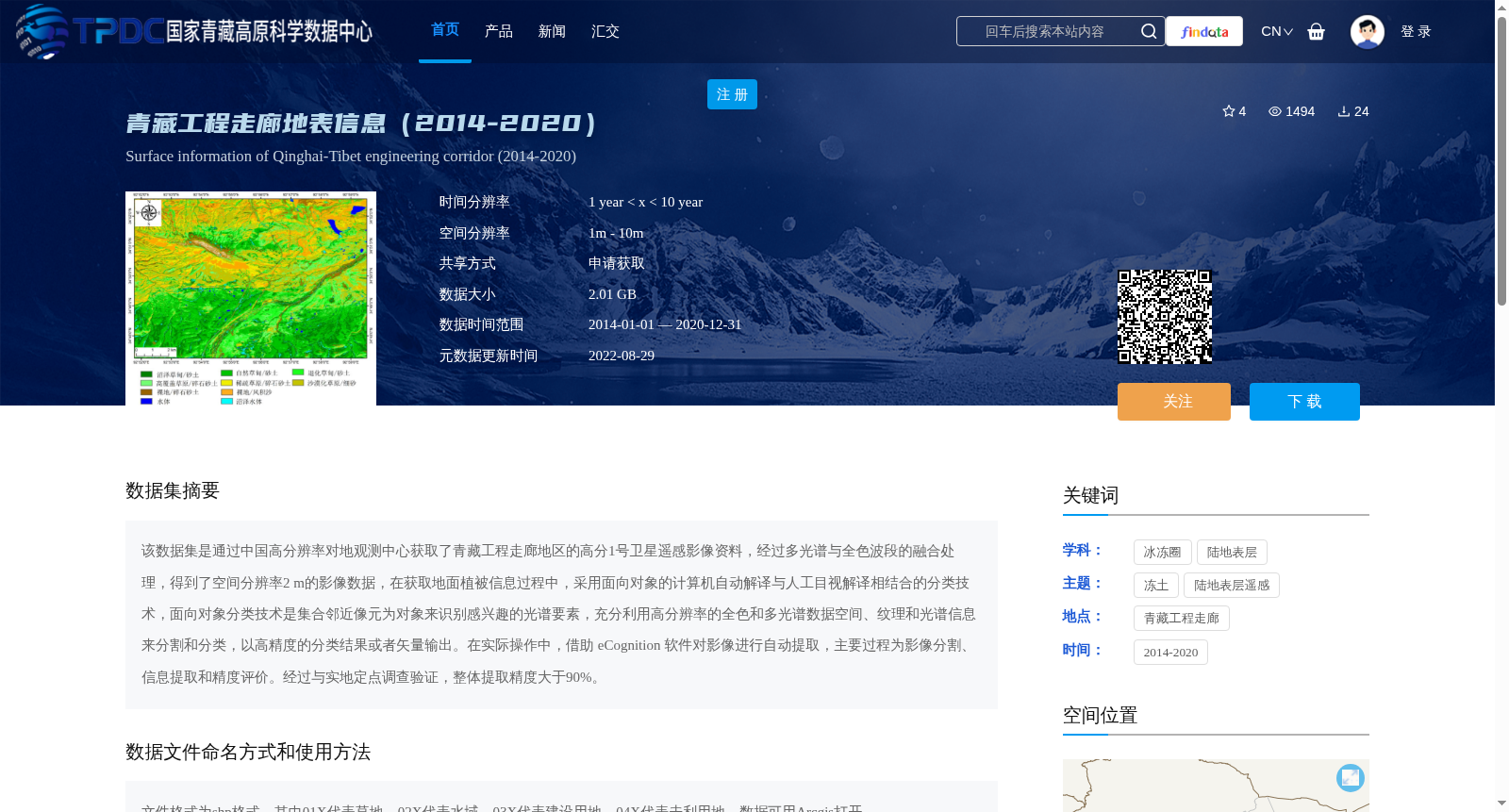
青藏工程走廊地表信息(2014-2020)
收藏资源简介:
该数据集是通过中国高分辨率对地观测中心获取了青藏工程走廊地区的高分1号卫星遥感影像资料,经过多光谱与全色波段的融合处理,得到了空间分辨率2 m的影像数据,在获取地面植被信息过程中,采用面向对象的计算机自动解译与人工目视解译相结合的分类技术,面向对象分类技术是集合邻近像元为对象来识别感兴趣的光谱要素,充分利用高分辨率的全色和多光谱数据空间、纹理和光谱信息来分割和分类,以高精度的分类结果或者矢量输出。在实际操作中,借助 eCognition 软件对影像进行自动提取,主要过程为影像分割、信息提取和精度评价。经过与实地定点调查验证,整体提取精度大于90%。
This dataset is developed from remote sensing image data of the Qinghai-Tibet Engineering Corridor area acquired by the China Center for High-Resolution Earth Observation using the Gaofen-1 (GF-1) satellite. After fusion processing of multispectral and panchromatic bands, image data with a spatial resolution of 2 meters was obtained. When extracting ground vegetation information, a classification technique combining computer-aided automatic object-based interpretation and manual visual interpretation was adopted. The object-based classification technique aggregates adjacent pixels into objects to identify spectral features of interest, making full use of the spatial, texture and spectral information of high-resolution panchromatic and multispectral data for image segmentation and classification, to produce high-precision classification results or vector outputs. In actual operations, the eCognition software was employed for automatic image extraction, with the main processes including image segmentation, information extraction and accuracy assessment. Verified via field fixed-point surveys, the overall extraction accuracy exceeds 90%.