Voxel51/fields-of-the-world
收藏资源简介:
Fields of The World (FTW) 是一个用于农业田块实例分割的全球机器学习基准数据集,涵盖欧洲、非洲、亚洲和南美洲四大洲的25个国家。每个芯片配有两时相、四波段(红、绿、蓝、近红外)的Sentinel-2卫星影像以及实例和语义(2类和3类)田块边界分割掩码。FTW比之前的田块边界基准数据集(如AI4Boundaries、AI4SmallFarms、PASTIS和PASTIS-R)大一个数量级,包含70,462个样本芯片(在此FiftyOne解析中包含少量“无”分割行后为70,484个),覆盖约166,293平方公里和163万个标注的田块多边形。此FiftyOne数据集是从通过Source Cooperative分发的官方FTW存档以及`ftw-baselines`仓库的`ftw` CLI工具解析而来。 - **策划者:** Hannah Kerner、Snehal Chaudhari、Aninda Ghosh、Caleb Robinson、Adeel Ahmad、Eddie Choi、Nathan Jacobs、Chris Holmes、Matthias Mohr、Rahul Dodhia、Juan M. Lavista Ferres和Jennifer Marcus(亚利桑那州立大学、微软AI for Good研究实验室、Taylor地理空间研究所、圣路易斯华盛顿大学、Taylor地理空间引擎) - **资助方:** Taylor地理空间引擎和NASA补充开源软件奖 - **共享者:** Fields of The World项目(数据托管在Source Cooperative;此FiftyOne解析由Harpreet Sahota共享) - **语言:** 不适用(卫星影像和地理空间矢量/栅格数据) - **许可证:** 数据集整体没有单一许可证。FTW聚合了来自不同国家的24个源田块边界数据集,每个数据集保留其原始许可证(例如CC-BY、开放政府数据许可证等)——详见FTW论文表1和Source Cooperative上每个国家的README以获取特定许可证和来源链接。`ftw-baselines`代码库本身根据MIT许可证发布。
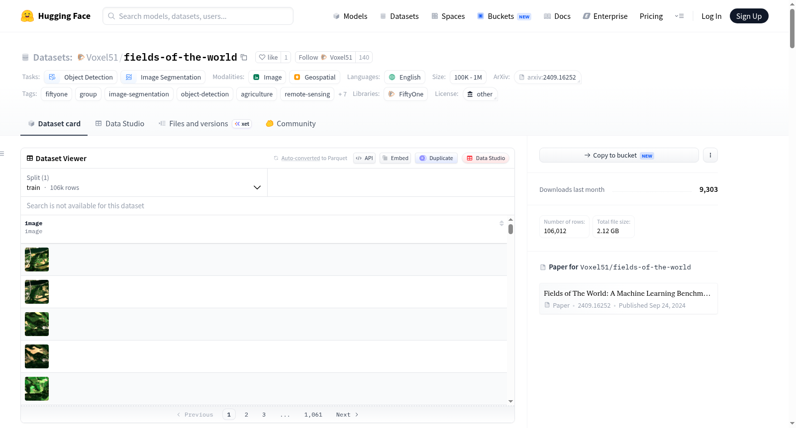
Fields of The World (FTW) is a global machine learning benchmark dataset for agricultural field instance segmentation, spanning 25 countries across four continents (Europe, Africa, Asia, and South America). Each chip pairs two-date, four-band (red, green, blue, near-infrared) Sentinel-2 satellite imagery with instance and semantic (2-class and 3-class) field-boundary segmentation masks. FTW is an order of magnitude larger than prior field-boundary benchmarks such as AI4Boundaries, AI4SmallFarms, PASTIS, and PASTIS-R, with 70,462 sample chips (70,484 in this FiftyOne parsing after including a small number of "none"-split rows) covering roughly 166,293 km² and 1.63 million labeled field polygons. This FiftyOne dataset was parsed from the official FTW archive distributed via Source Cooperative and the `ftw-baselines` repositorys `ftw` CLI tool. - **Curated by:** Hannah Kerner, Snehal Chaudhari, Aninda Ghosh, Caleb Robinson, Adeel Ahmad, Eddie Choi, Nathan Jacobs, Chris Holmes, Matthias Mohr, Rahul Dodhia, Juan M. Lavista Ferres, and Jennifer Marcus (Arizona State University, Microsoft AI for Good Research Lab, Taylor Geospatial Institute, Washington University in St Louis, Taylor Geospatial Engine) - **Funded by:** Taylor Geospatial Engine and a NASA Supplemental Open Source Software Award - **Shared by:** The Fields of The World project (data hosted on Source Cooperative; this FiftyOne parsing shared by Harpreet Sahota) - **Language(s):** Not applicable (satellite imagery and geospatial vector/raster data) - **License:** There is no single license for the dataset as a whole. FTW aggregates 24 source field-boundary datasets from different countries, each retaining its own original license (e.g. CC-BY, open government data licenses, etc.) — see the FTW papers Table 1 and each countrys README on Source Cooperative for the specific license and source link. The `ftw-baselines` codebase itself is released under the MIT License.