中国高寒地区地表过程与环境观测网络水文数据集(2020-2022)
收藏国家青藏高原科学数据中心2024-01-30 更新2024-03-06 收录
下载链接:
https://data.tpdc.ac.cn/zh-hans/data/758ea212-82da-4acc-92b4-4fad13332d4a
下载链接
链接失效反馈官方服务:
资源简介:
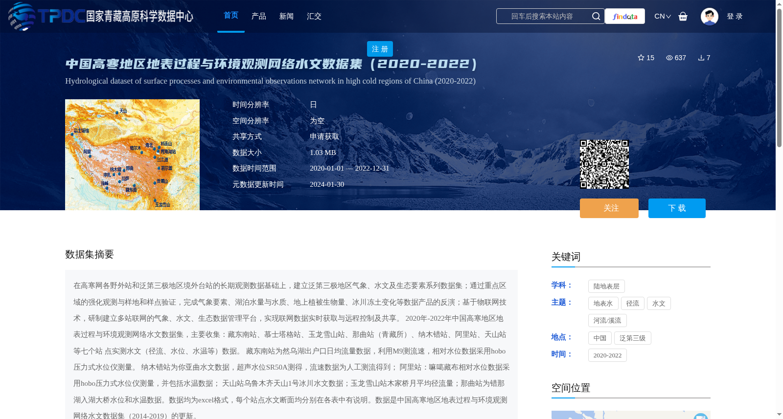
在高寒网各野外站和泛第三极地区境外台站的长期观测数据基础上,建立泛第三极地区气象、水文及生态要素系列数据集;通过重点区域的强化观测与样地和样点验证,完成气象要素、湖泊水量与水质、地上植被生物量、冰川冻土变化等数据产品的反演;基于物联网技术,研制建立多站联网的气象、水文、生态数据管理平台,实现联网数据实时获取与远程控制及共享。 2020年-2022年中国高寒地区地表过程与环境观测网络水文数据集,主要收集:藏东南站、慕士塔格站、玉龙雪山站、那曲站(青藏所)、纳木错站、阿里站、天山站等七个站 点实测水文(径流、水位、水温等)数据。 藏东南站为然乌湖出户口日均流量数据,利用M9测流速,相对水位数据采用hobo压力式水位仪测量。 纳木错站为你亚曲水文数据,超声水位SR50A测得,流速数据为人工测流得到; 阿里站:嘛噶藏布相对水位数据采用hobo压力式水位仪测量,并包括水温数据; 天山站乌鲁木齐天山1号冰川水文数据;玉龙雪山站木家桥月平均径流量;那曲站为错那湖入湖大桥水位和水温数据。数据均为excel格式,每个站点水文断面均分别在各表中有说明。数据是中国高寒地区地表过程与环境观测网络水文数据集(2014-2019)的更新。
Based on long-term observational data from field stations of the China Alpine Network for Surface Processes and Environmental Observation and overseas stations in the Pan-Third Pole region, a series of datasets for meteorological, hydrological and ecological elements in the Pan-Third Pole region was established. Through intensive observations in key regions and validation via sample plots and sampling points, the retrieval of data products including meteorological elements, lake water quantity and quality, above-ground vegetation biomass, glacier and permafrost changes was completed. Based on Internet of Things (IoT) technology, a multi-station networked meteorological, hydrological and ecological data management platform was developed and established, enabling real-time acquisition, remote control and sharing of networked data.
The hydrological dataset of the China Alpine Network for Surface Processes and Environmental Observation during 2020–2022 mainly collects in-situ hydrological data (including runoff, water level, water temperature, etc.) from seven stations: Southeast Tibet Station, Muztagh Ata Station, Yulong Snow Mountain Station, Naqu Station (Institute of Qinghai-Tibet Plateau Research), Nam Co Station, Ali Station and Tianshan Station.
Southeast Tibet Station provides daily average flow data at the outlet of Ranwu Lake: flow velocity was measured by M9, and relative water level data was collected using a Hobo pressure-type water level gauge.
Nam Co Station provides hydrological data of the Niyaqu River: water level data was measured by SR50A ultrasonic water level gauge, and flow velocity data was obtained via manual streamflow measurement.
Ali Station: relative water level data of the Magazangbo River was measured using a Hobo pressure-type water level gauge, and water temperature data is also included.
Tianshan Station provides hydrological data of the Urumqi No.1 Glacier on the Tianshan Mountains; Yulong Snow Mountain Station provides monthly average runoff data from Mujiaqiao; Naqu Station provides water level and water temperature data at the bridge at the inflow of Cuona Lake.
All data are stored in Excel format, and the hydrological sections of each station are described separately in their respective tables. This dataset is an update of the hydrological dataset of the China Alpine Network for Surface Processes and Environmental Observation (2014–2019).
提供机构:
朱立平,罗伦
创建时间:
2024-01-20
搜集汇总
数据集介绍
背景与挑战
背景概述
该数据集涵盖2020年至2022年中国高寒地区七个观测站点(如藏东南站、纳木错站等)的水文数据,包括径流、水位和水温等日分辨率观测值,以Excel格式提供。它是2014-2019年数据的更新版本,通过物联网技术实现多站联网管理,支持气象、水文和生态数据共享,适用于高寒环境研究。
以上内容由遇见数据集搜集并总结生成


