
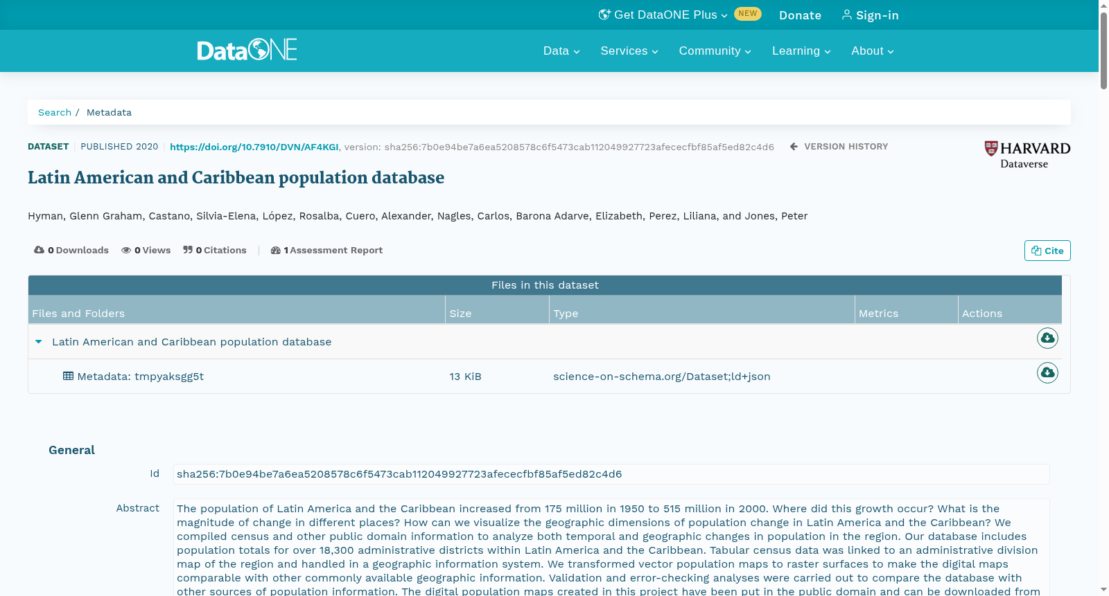
Latin American and Caribbean population database
收藏DataONE2023-05-18 更新2024-06-08 收录
下载链接:
https://search.dataone.org/view/sha256:7b0e94be7a6ea5208578c6f5473cab112049927723afececfbf85af5ed82c4d6
下载链接
链接失效反馈官方服务:
资源简介:
The population of Latin America and the Caribbean increased from 175 million in 1950 to 515 million in 2000. Where did this growth occur? What is the magnitude of change in different places? How can we visualize the geographic dimensions of population change in Latin America and the Caribbean? We compiled census and other public domain information to analyze both temporal and geographic changes in population in the region. Our database includes population totals for over 18,300 administrative districts within Latin America and the Caribbean. Tabular census data was linked to an administrative division map of the region and handled in a geographic information system. We transformed vector population maps to raster surfaces to make the digital maps comparable with other commonly available geographic information. Validation and error-checking analyses were carried out to compare the database with other sources of population information. The digital population maps created in this project have been put in the public domain and can be downloaded from our website. The Latin America and Caribbean map is part of a larger multi-institutional effort to map population in developing countries. This is the third version of the Latin American and Caribbean population database and it contains new data from the 2000 round of censuses and new and improved accessibility surfaces for creating the raster maps.
拉丁美洲及加勒比地区的总人口从1950年的1.75亿增长至2000年的5.15亿。该区域的人口增长发生在何处?不同地区的变化幅度存在何种差异?我们应当如何可视化呈现拉丁美洲及加勒比地区人口变化的地理特征?我们整合了人口普查(census)及其他公共领域(public domain)信息,以分析该区域人口在时间与空间维度上的变化特征。本数据库涵盖了拉丁美洲及加勒比地区超过18300个行政区域(administrative districts)的人口总量数据。表格化的普查数据与该区域的行政区划地图完成关联,并通过地理信息系统(Geographic Information System, GIS)进行处理。我们将矢量人口地图(vector population maps)转换为栅格表面(raster surfaces),以使生成的数字地图可与其他通用地理信息进行对比分析。我们开展了验证与误差校验分析,将本数据库与其他人口信息来源进行比对。本项目生成的数字人口地图已纳入公共领域,可从本团队官方网站下载获取。拉丁美洲及加勒比地区人口地图是一项面向发展中国家人口制图的更大规模多机构协作项目的组成部分。本次发布的为拉丁美洲及加勒比地区人口数据库第三版,新增了2000年人口普查(2000 round of censuses)的相关数据,并优化了用于生成栅格地图的可达性曲面(accessibility surfaces)。
创建时间:
2024-01-25
搜集汇总
数据集介绍
以上内容由遇见数据集搜集并总结生成


