新疆维吾尔自治区1:100万植被分布图(2000年)
收藏国家地球系统科学数据中心2017-07-19 更新2024-03-04 收录
下载链接:
https://www.geodata.cn/data/datadetails.html?dataguid=4212165&docId=27147
下载链接
链接失效反馈官方服务:
资源简介:
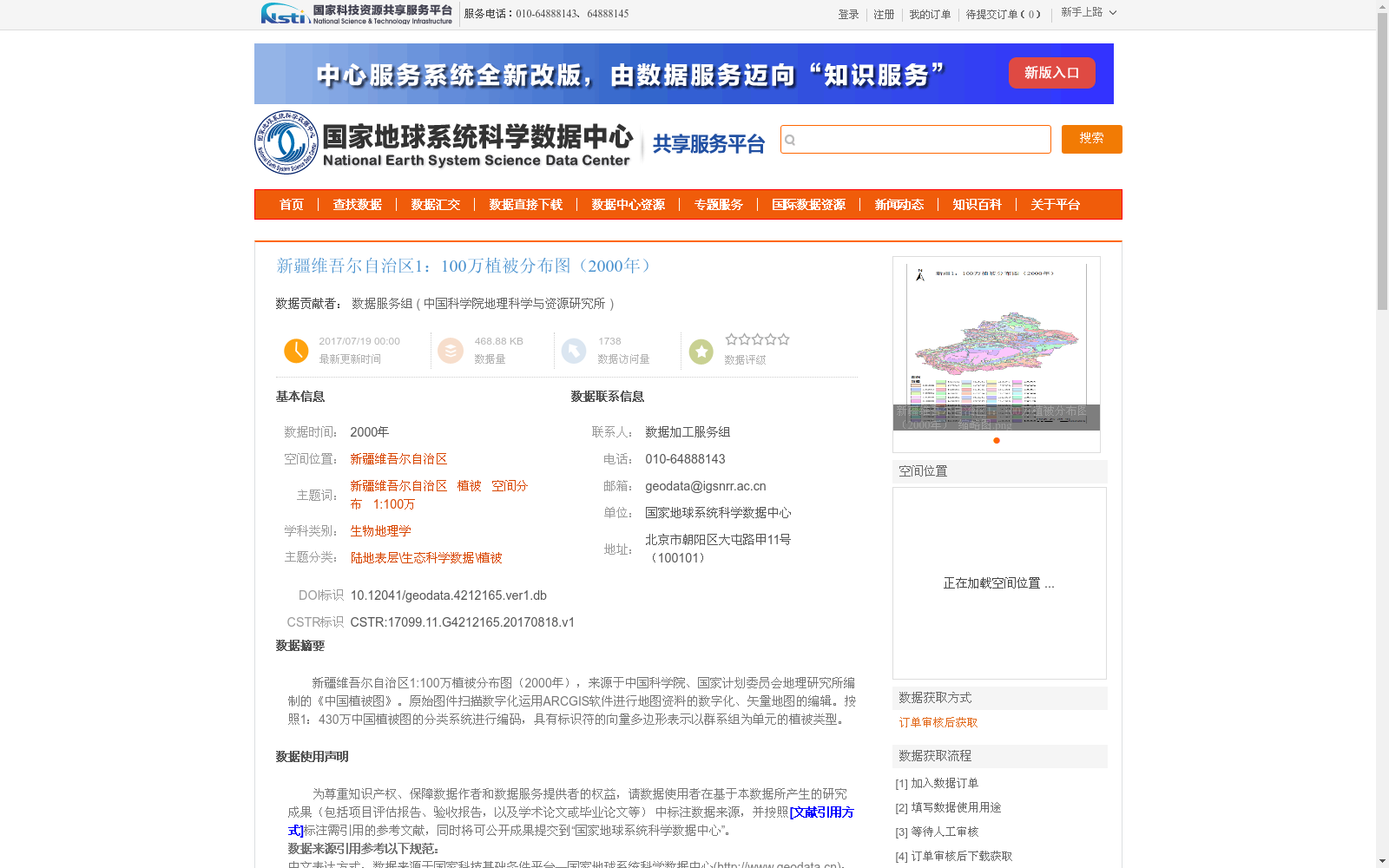
新疆维吾尔自治区1:100万植被分布图(2000年),来源于中国科学院、国家计划委员会地理研究所编制的《中国植被图》。原始图件扫描数字化运用ARCGIS软件进行地图资料的数字化、矢量地图的编辑。按照1:430万中国植被图的分类系统进行编码,具有标识符的向量多边形表示以群系组为单元的植被类型。
1:1,000,000 Vegetation Distribution Map of Xinjiang Uygur Autonomous Region (2000) is derived from the *Vegetation Map of China* compiled by the Institute of Geography, Chinese Academy of Sciences and the State Planning Commission. For the scanning and digitization of the original map documents, ARCGIS software was adopted to carry out map data digitization and vector map editing. Coding was conducted in accordance with the classification system of the 1:4,300,000 scale *Vegetation Map of China*. Vector polygons with unique identifiers represent vegetation types taking plant formation groups as their basic mapping units.
提供机构:
中国科学院地理科学与资源研究所
创建时间:
2017-08-18
搜集汇总
数据集介绍
背景与挑战
背景概述
该数据集是新疆维吾尔自治区2000年的1:100万比例尺植被分布图,来源于《中国植被图》,通过扫描数字化和ARCGIS软件处理,以向量多边形形式表示植被类型(群系组),采用1:430万分类系统编码。数据集具有较高的数据质量,经过规范加工和质量检查,适用于生物地理学和生态科学领域的空间分析研究。
以上内容由遇见数据集搜集并总结生成


