全国1:400万土壤类型分布图(中国土壤系统分类系统首次方案)(2000年)
收藏国家地球系统科学数据中心2022-03-15 更新2024-03-04 收录
下载链接:
https://www.geodata.cn/data/datadetails.html?dataguid=276338247324176&docId=9773
下载链接
链接失效反馈官方服务:
资源简介:
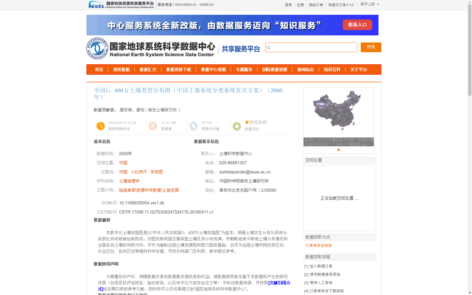
本数字化土壤类型图是以“中华人民共和国1:400万土壤类型图”为蓝本,根据土壤发生分类与系统分类参比系统转换绘制而成。该图反映我国主要类型土壤及其分布规律,并概略地表示耕地土壤分布情况和全国各类土壤的利用方向。可作为编制全国土壤资源图和肥力图的基础,也可为全国土壤利用改良区划、农业区划、自然区划等提供科学依据,可供农林部门及科研、教学单位参考。
This digital soil type map is developed based on the 1:4,000,000 Soil Type Map of the People's Republic of China, and compiled by converting via the correlation reference system between genetic soil classification and systematic soil classification. It depicts the major soil types in China and their distribution patterns, and schematically shows the distribution of cultivated soils as well as the utilization directions of different soil types across the country. It can serve as a fundamental basis for compiling national soil resource maps and soil fertility maps, and provide scientific supports for national soil utilization and improvement zoning, agricultural regionalization, natural regionalization and other related researches and planning works. In addition, it can be used as a reference by agricultural and forestry departments, scientific research institutions and educational institutions.
提供机构:
南京土壤研究所
创建时间:
2016-04-11
搜集汇总
数据集介绍
背景与挑战
背景概述
该数据集为2000年全国1:400万土壤类型分布图,基于中国土壤系统分类系统首次方案,通过数字化转换从土壤发生分类图而来,反映了我国主要土壤类型分布规律和耕地土壤概况。数据以矢量格式存储,采用Albers投影,适用于土壤资源研究、农业区划等科学应用,具有小比例尺和系统图特点,由中国科学院南京土壤研究所提供。
以上内容由遇见数据集搜集并总结生成


