2000-2015全国30m湿地生态系统分布
收藏地球大数据科学工程2024-04-26 收录
下载链接:
https://data.casearth.cn/sdo/detail/636e17ed819aec5df66b5240
下载链接
链接失效反馈官方服务:
资源简介:
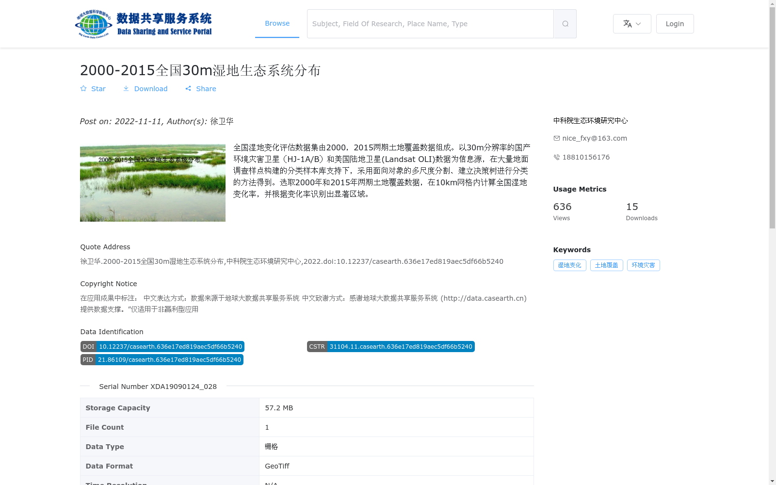
全国湿地变化评估数据集由2000,2015两期土地覆盖数据组成。以30m分辨率的国产环境灾害卫星(HJ-1A/B)和美国陆地卫星(Landsat OLI)数据为信息源,在大量地面调查样点构建的分类样本库支持下,采用面向对象的多尺度分割、建立决策树进行分类的方法得到。选取2000年和2015年两期土地覆盖数据,在10km网格内计算全国湿地变化率,并根据变化率识别出显著区域。
The National Wetland Change Assessment Dataset comprises two phases of land cover data from 2000 and 2015. It was developed using 30-meter resolution data from China-made Environmental and Disaster Monitoring Satellites (HJ-1A/B) and U.S. Landsat OLI as primary data sources, supported by a classification sample library constructed with a large number of ground survey samples, via object-oriented multi-scale segmentation and decision tree classification methods. Two phases of land cover data from 2000 and 2015 were selected to calculate the national wetland change rate within a 10-kilometer grid, and significant change regions were identified based on the calculated change rates.
提供机构:
中科院生态环境研究中心
搜集汇总
数据集介绍
背景与挑战
背景概述
该数据集是全国范围的湿地生态系统分布数据,覆盖2000年和2015年两期,空间分辨率为30米。它基于环境灾害卫星和陆地卫星数据,采用面向对象分类方法生成,用于评估湿地变化并识别显著变化区域。数据集以GeoTiff格式提供,由中科院生态环境研究中心发布,适用于非赢利型应用。
以上内容由遇见数据集搜集并总结生成


