1900-2019年中国土地利用和覆盖变化数据集
收藏国家生态科学数据中心2024-03-04 收录
下载链接:
http://www.nesdc.org.cn/sdo/detail?id=638d61df7e28173e660814c6
下载链接
链接失效反馈官方服务:
资源简介:
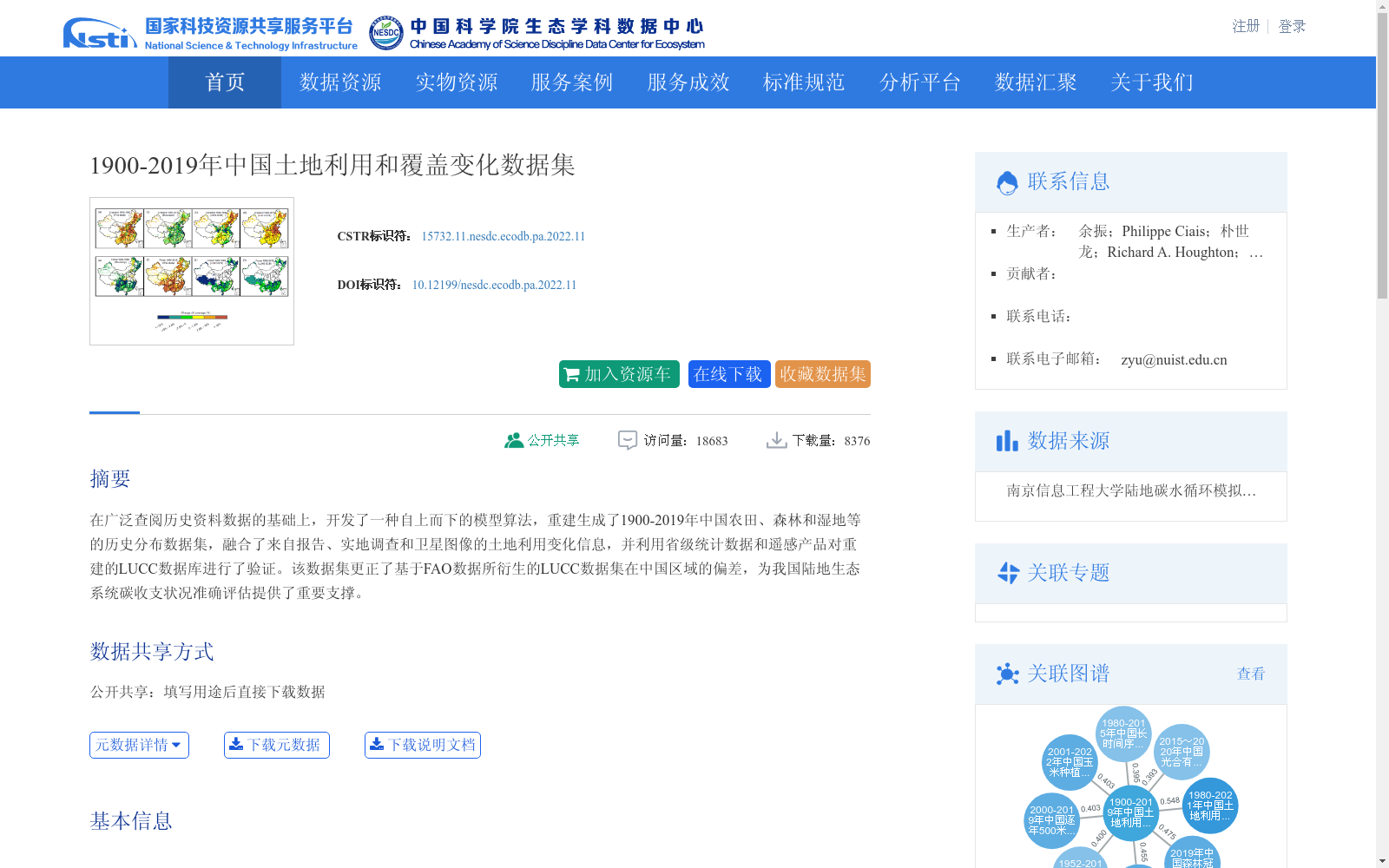
在广泛查阅历史资料数据的基础上,开发了一种自上而下的模型算法,重建生成了1900-2019年中国农田、森林和湿地等的历史分布数据集,融合了来自报告、实地调查和卫星图像的土地利用变化信息,并利用省级统计数据和遥感产品对重建的LUCC数据库进行了验证。该数据集更正了基于FAO数据所衍生的LUCC数据集在中国区域的偏差,为我国陆地生态系统碳收支状况准确评估提供了重要支撑。
Based on extensive review of historical datasets, a top-down model algorithm was developed to reconstruct and generate a historical land distribution dataset covering croplands, forests, wetlands and other land types in China from 1900 to 2019. This dataset integrates land use change information from reports, field surveys and satellite imagery, with the reconstructed LUCC database validated using provincial statistical data and remote sensing products. It corrects the biases of LUCC datasets derived from FAO data in the Chinese region, providing critical support for the accurate assessment of terrestrial ecosystem carbon budgets in China.
提供机构:
团队
创建时间:
2021-12-22
搜集汇总
数据集介绍
背景与挑战
背景概述
该数据集是一个覆盖1900年至2019年中国全境的土地利用和覆盖变化历史重建数据集,重点包括农田、森林和湿地等类型的分布信息。它通过融合历史资料、报告、实地调查和卫星图像,采用模型算法生成,并经过验证纠正了基于FAO数据的偏差,主要用于支持陆地生态系统碳收支评估等研究。数据集以栅格图像格式存储,数据量较小(8.05MB),属于地球科学领域的地理学和地图学学科。
以上内容由遇见数据集搜集并总结生成


