南极洲全图(1:1900万)
收藏国家极地科学数据中心2023-03-03 更新2024-03-06 收录
下载链接:
https://datacenter.chinare.org.cn/data-center/metadata?id=0d61e377-2dc2-47a8-9c17-6d78d9f0189b
下载链接
链接失效反馈官方服务:
资源简介:
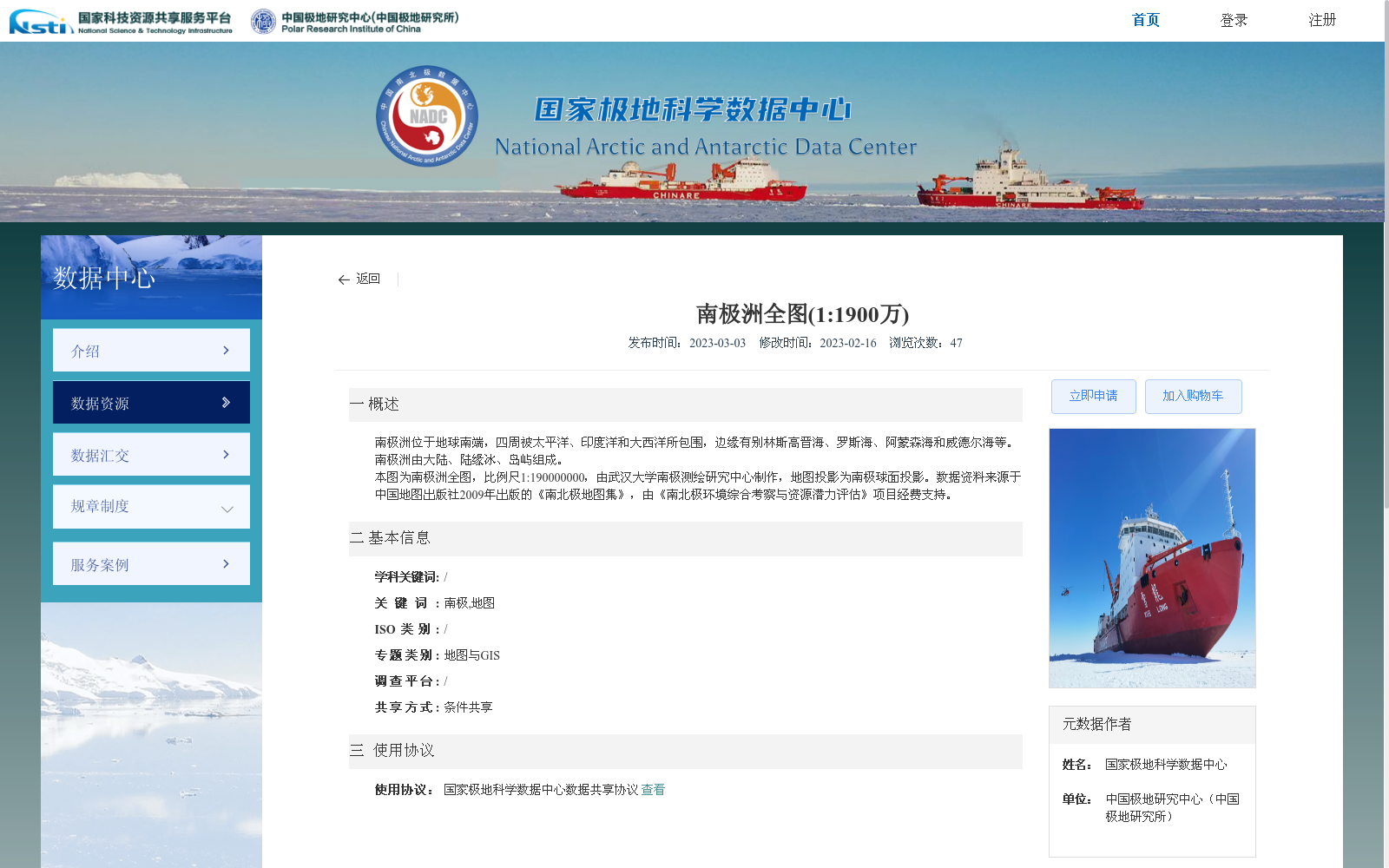
南极洲位于地球南端,四周被太平洋、印度洋和大西洋所包围,边缘有别林斯高晋海、罗斯海、阿蒙森海和威德尔海等。南极洲由大陆、陆缘冰、岛屿组成。
本图为南极洲全图,比例尺1:190000000,由武汉大学南极测绘研究中心制作,地图投影为南极球面投影。数据资料来源于中国地图出版社2009年出版的《南北极地图集》,由《南北极环境综合考察与资源潜力评估》项目经费支持。
Antarctica is located at the southernmost end of the Earth, surrounded by the Pacific, Indian and Atlantic Oceans, with marginal seas including the Bellingshausen Sea, Ross Sea, Amundsen Sea and Weddell Sea. Antarctica consists of the continental mainland, ice shelves and islands.
This is a full map of Antarctica with a scale of 1:190,000,000, produced by the Antarctic Surveying and Mapping Research Center of Wuhan University, adopting the Antarctic spherical projection. The data and materials are sourced from the *Atlas of the North and South Poles* published by Sinomaps Press in 2009, and financially supported by the project "Comprehensive Environmental Survey and Resource Potential Assessment of the North and South Poles".
提供机构:
中国极地研究中心(中国极地研究所)
创建时间:
2023-03-03
搜集汇总
数据集介绍
背景与挑战
背景概述
该数据集是南极洲的全图,比例尺为1:1900万,由武汉大学南极测绘研究中心制作,采用南极球面投影。数据基于2009年《南北极地图集》,旨在支持南极环境综合考察与资源潜力评估项目,提供详细的地理位置和结构信息。
以上内容由遇见数据集搜集并总结生成


