疏勒河流域1:25万河流分布数据集(2000)
收藏国家青藏高原科学数据中心2020-03-30 更新2024-03-06 收录
下载链接:
https://data.tpdc.ac.cn/zh-hans/data/a20978c0-5a9c-45c2-9d0e-cb925ddcd845
下载链接
链接失效反馈官方服务:
资源简介:
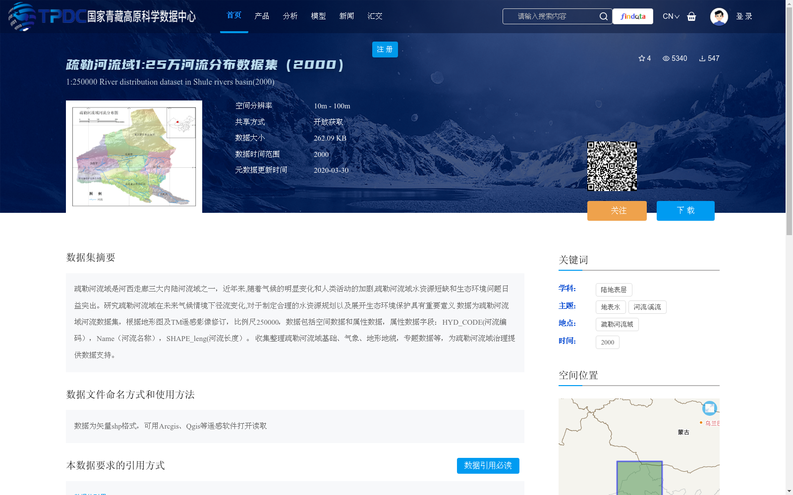
疏勒河流域是河西走廊三大内陆河流域之一,近年来,随着气候的明显变化和人类活动的加剧,疏勒河流域水资源短缺和生态环境问题日益突出。研究疏勒河流域在未来气候情境下径流变化,对于制定合理的水资源规划以及展开生态环境保护具有重要意义
数据为疏勒河流域河流数据集,根据地形图及TM遥感影像修订,比例尺250000,数据包括空间数据和属性数据,属性数据字段:HYD_CODE(河流编码),Name(河流名称),SHAPE_leng(河流长度)。
收集整理疏勒河流域基础、气象、地形地貌,专题数据等,为疏勒河流域治理提供数据支持。
The Shule River Basin is one of the three inland river basins in the Hexi Corridor. In recent years, with notable climate change and intensifying human activities, issues including water scarcity and ecological environment degradation in the Shule River Basin have become increasingly prominent. Studying the runoff changes of the Shule River Basin under future climate scenarios is of great significance for formulating rational water resource planning and carrying out ecological environment protection.
The dataset is the river dataset of the Shule River Basin, which was revised based on topographic maps and TM (Thematic Mapper) remote sensing imagery with a scale of 1:250,000. It includes spatial data and attribute data, with the following attribute fields: HYD_CODE ("river code"), Name ("river name"), and SHAPE_leng ("river length").
Basic, meteorological, topographic, geomorphic and thematic data of the Shule River Basin have been collected and organized to provide data support for the governance and ecological protection of the Shule River Basin.
提供机构:
国家基础地理信息中心
创建时间:
2014-07-31
搜集汇总
数据集介绍
背景与挑战
背景概述
该数据集是疏勒河流域2000年的河流分布矢量数据,比例尺为1:25万,基于地形图和TM遥感影像修订,包含河流的空间位置和属性信息(如编码、名称和长度)。数据旨在支持疏勒河流域的水资源研究和生态保护规划,具有开放获取的特点,适用于地理信息系统分析。
以上内容由遇见数据集搜集并总结生成


