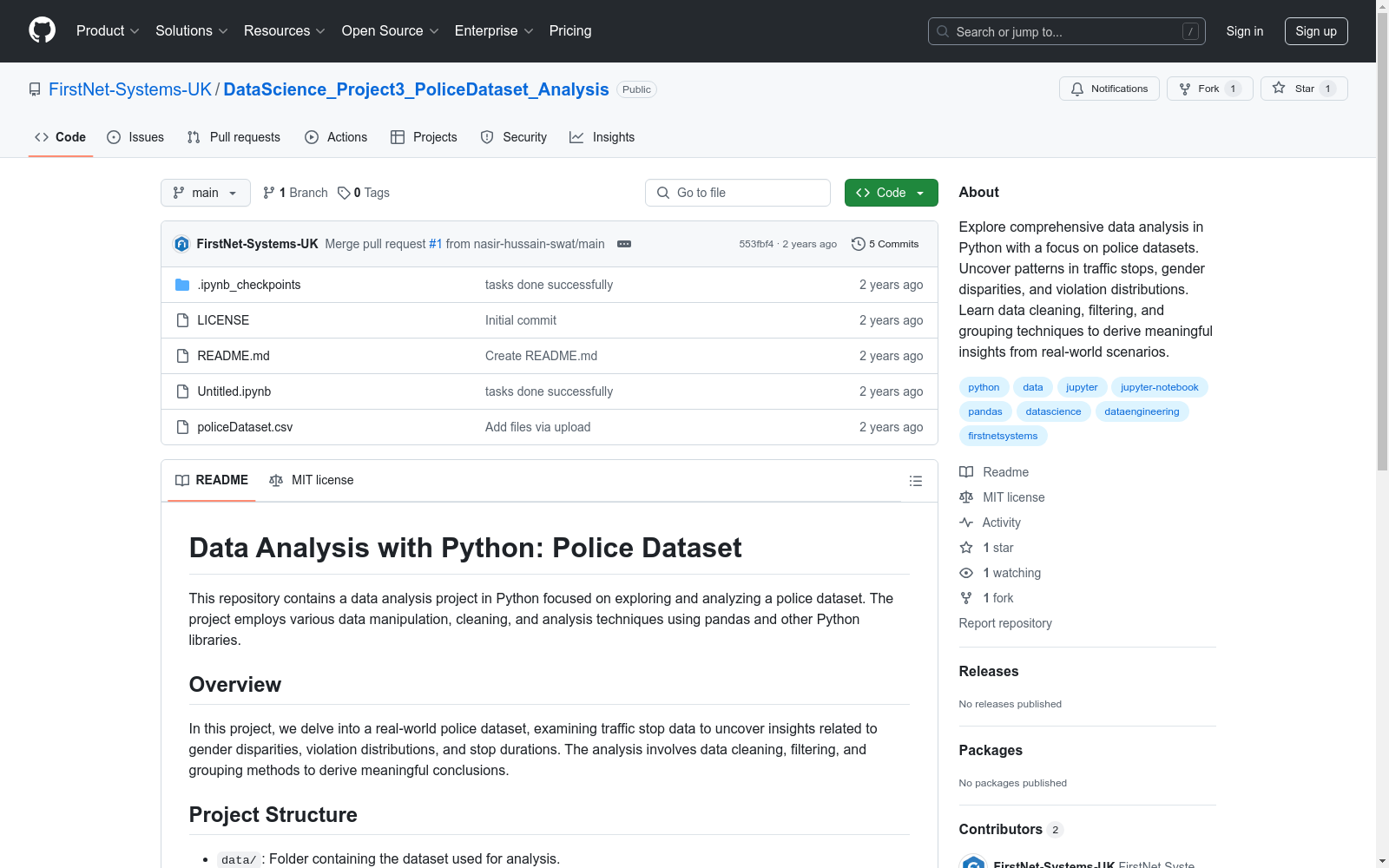
Police Dataset
收藏官方服务:
资源简介:
本项目深入分析了一个真实的警察数据集,主要关注交通停车的数据,揭示性别差异、违规分布和停车时长等方面的洞察。分析过程中使用了数据清洗、过滤和分组等技术,以从实际场景中提取有意义的结论。
This project conducts an in-depth analysis of a real-world police dataset, primarily focusing on traffic stop data, revealing insights into gender disparities, violation distributions, and stop durations. Techniques such as data cleaning, filtering, and grouping were employed during the analysis to extract meaningful conclusions from real-world scenarios.
创建时间:
2023-11-25
原始信息汇总
数据集概述
数据集名称
- Data Analysis with Python: Police Dataset
数据集内容
- 该数据集包含真实的警察交通停止数据,用于分析性别差异、违规分布和停止时长等。
数据集结构
data/: 包含用于分析的数据集。notebooks/: 包含详细的分析步骤的Jupyter笔记本。src/: 包含分析中使用的源代码和脚本。results/: 用于存储可视化和分析结果的目录。
分析技术
- 数据清洗和预处理
- 过滤和值计数
- 分组和数据汇总
- 映射和数据类型操作
- 统计分析和可视化
搜集汇总
数据集介绍
构建方式
Police Dataset的构建基于真实的交通拦截数据,涵盖了多个维度的信息,包括性别差异、违规类型分布以及拦截时长等。数据通过多种数据清洗和预处理技术进行处理,确保其准确性和可用性。数据集的构建过程涉及数据过滤、分组和汇总,以便为后续的分析提供坚实的基础。
特点
该数据集的特点在于其多维度的数据结构和丰富的分析潜力。它不仅包含了交通拦截的基本信息,还通过性别、违规类型等字段提供了深入分析的切入点。数据集经过精心清洗和预处理,确保了数据的一致性和完整性,适合用于统计分析和可视化展示。
使用方法
使用Police Dataset时,用户可以通过克隆GitHub仓库获取数据集和相关分析代码。进入项目目录后,用户可以浏览`notebooks/`文件夹中的Jupyter笔记本,逐步了解数据分析的详细步骤。数据集的使用方法涵盖了数据清洗、过滤、分组、汇总以及统计分析和可视化等关键步骤,帮助用户从数据中提取有价值的见解。
背景与挑战
背景概述
Police Dataset是一个专注于交通执法数据的分析项目,旨在通过数据挖掘揭示交通执法中的性别差异、违规行为分布以及执法时长等关键问题。该数据集由数据科学领域的从业者创建,主要用于探索性数据分析和统计建模。其核心研究问题围绕交通执法数据的公平性和效率展开,旨在为政策制定者提供数据驱动的决策支持。该数据集的出现,为研究交通执法中的社会问题提供了重要的数据基础,推动了相关领域的实证研究。
当前挑战
Police Dataset在解决交通执法数据分析问题时面临多重挑战。首先,数据质量问题显著,原始数据中可能存在缺失值、异常值以及不一致的记录,这要求研究人员在数据清洗和预处理阶段投入大量精力。其次,数据的多样性和复杂性增加了分析的难度,例如不同地区的执法标准差异、时间跨度较大的数据记录等,都可能影响分析结果的准确性。此外,构建过程中还需解决数据隐私保护问题,如何在确保数据可用性的同时保护个人隐私,是一个亟待解决的技术难题。
常用场景
经典使用场景
Police Dataset 数据集在交通执法领域的经典使用场景中,主要用于分析交通拦截数据,揭示性别差异、违规类型分布以及拦截时长的模式。通过对这些数据的深入挖掘,研究人员能够识别出执法行为中的潜在偏见或不平等现象,进而为政策制定者提供数据支持,优化执法策略。
衍生相关工作
基于 Police Dataset 数据集,衍生了许多经典研究工作,例如关于执法行为中种族与性别偏见的定量分析、交通违规行为的时空分布研究,以及执法效率与拦截时长关系的建模。这些研究不仅推动了社会科学领域对执法公平性的讨论,还为数据驱动的政策制定提供了科学依据。
数据集最近研究
最新研究方向
近年来,警察数据集在公共安全与执法领域的应用逐渐成为研究热点。通过对交通拦截数据的深入分析,研究者们能够揭示性别差异、违规行为分布以及拦截时长的潜在规律。这些分析不仅有助于优化执法策略,还能为政策制定者提供数据支持,推动执法透明化与公平性。随着数据科学技术的进步,机器学习与深度学习模型的应用进一步提升了数据分析的精度与效率,使得警察数据集在犯罪预测、资源分配优化等领域展现出广阔的应用前景。
以上内容由遇见数据集搜集并总结生成


